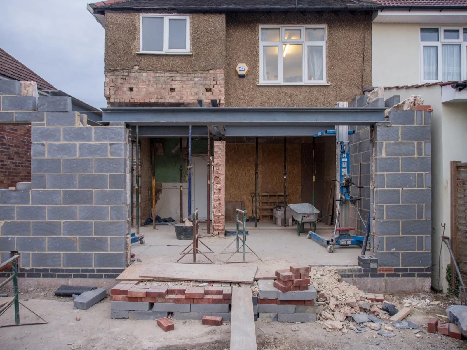
Planning DrawingsFrom £745
What drawings do I need for a householder planning application in London?
A householder planning application in London needs a location plan with the site edged in red, a block plan, and existing and proposed floor plans and elevations, with a section and a roof plan where the roof or levels change. Our planning drawings start at £745, with the location and block plans included and every sheet checked against your council's own validation list before it is submitted.
What the law actually requires, and why councils ask for more
The national rule is short. Article 7 of the Town and Country Planning (Development Management Procedure) (England) Order 2015 says an application must come with a plan which identifies the land to which the application relates, and any other plans, drawings and information necessary to describe the development. That second phrase is where the drawing list comes from: the council needs enough to see what is there now and what you want to build.
Each council then spells out what "necessary" means in a local list. The government's guidance on making an application says councils set their requirements on a formally adopted local list, and that local requirements have no bearing on whether an application is valid unless they appear on that list. In practice, the local list is the document that decides whether your drawings are accepted or sent back with a validation letter.
- Measured survey
The house, the garden and the boundaries are measured so the existing drawings show what is really there.
- Existing drawings
Floor plans and elevations of the house as it stands, plus the location plan and block plan.
- Proposed drawings
The same views with the extension or alteration drawn in, so the officer can compare sheet against sheet.
- Validation check
Every sheet is checked against the council's local list for scale, north point, neighbours and labels.
Site location plan and block plan: where the house is, and what sits around it
The site location plan places your house on a map of the surrounding streets. Government guidance says it should typically be at 1:1250 or 1:2500, with the application site outlined in red, and a blue line drawn around any other land you own close to or next to the site. The red line usually runs to the road, because the access is part of the site.
The block plan zooms in on your plot at a larger scale. It shows the house, the boundaries, the neighbouring buildings and the footprint of the new work, so the officer can see how close the extension comes to the fence or to next door. Both plans come from licensed Ordnance Survey mapping. They are included in our planning packages, and if you only need the pair, our post on what location and block plans cost explains the standalone service from £39.
A small front porch may need none of this; whether a front porch needs planning permission sets out the three size limits.
Existing and proposed plans: the pairs that do most of the work
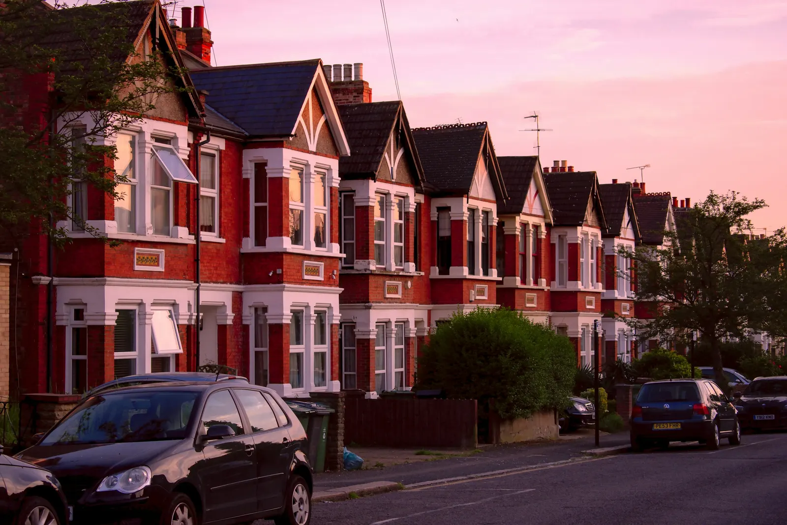
Most of a householder set comes in matching pairs: existing floor plans beside proposed floor plans, and existing elevations beside proposed elevations. The officer reads them side by side, so the same scale, the same sheet layout and the same north point on both sheets make the change easy to see. Islington's local validation requirements (April 2024) ask for existing and proposed floor plans and elevations at an appropriate scale, usually 1:50 or 1:100, with the north point on all plans.
Elevations show every side of the house that changes, including a blank flank wall. For an extension, they show the existing building too, so it is clear which parts are new work. The floor plans show room layouts, new doors and windows, and anything being knocked down. Our guide to what an architectural drawings package includes lists every sheet in a full set.
An L-shaped side and rear extension has its own planning test, set out in whether a wraparound extension needs planning permission.
Why the council needs both versions of each drawing is explained in the difference between existing and proposed plans.
Elevations and sections: when a section is needed
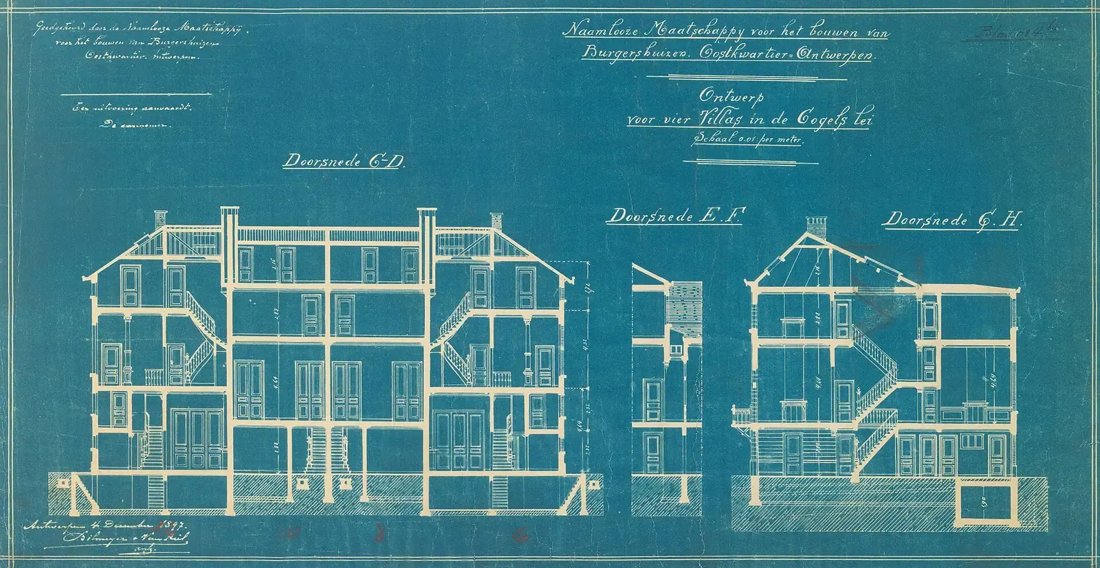
A section is a vertical slice through the house. It is not on every list for every job, but it becomes necessary when the roof, the floor levels or the ground levels change: a loft, a sunken kitchen extension, a raised terrace or a basement. Islington asks for cross and long sections for new and altered buildings where ground levels change, and asks for existing and proposed ground levels on every extension.
A roof plan joins the set when a roof is new or altered, such as a rear extension with a flat roof and roof lights, or a dormer. If your project is a loft, our post on the drawings a loft conversion needs covers the roof plan and section in more depth.
What London validation lists add beyond the national rule
Local lists differ from borough to borough, and the extras they add are the usual cause of an invalid application. Islington's list is a good example of the detail councils want: drawings to a recognised metric scale, a scale bar on every drawing, a unique number and title on each sheet, and no "do not scale" note. It also asks that neighbouring properties and neighbouring windows are shown on plans, elevations and sections, existing and proposed.
Other London councils word things differently, and some add their own design guides for extensions or roofs. Government guidance says a local list should be reviewed at least every 2 years, so a checklist downloaded for a project a few years ago may be out of date. We read the current list for your council before the drawings are finished, not after the council writes back.
Can I submit my own application with professionally drawn plans?
Yes. Many homeowners are the applicant on their own householder application and simply attach drawings someone else has prepared. The application form, the ownership certificate and the fee are yours; the drawings are ours. The guidance on making an application lists the ownership certificate alongside the plans as part of what every application must include, so if a neighbour or a freeholder owns any part of the site, notice has to be served on them.
If you would rather not deal with the form, we can prepare a fill sheet with every answer ready for you to enter, or submit on your behalf. Either way the drawings are the same. Once the council validates the application, it has 8 weeks to decide a non-major application under article 34 of the 2015 Order, unless you agree a longer period in writing. If you are unsure whether your drawings can be prepared remotely, our post on getting planning drawings online without a site visit explains when a survey is needed.
For how long each stage takes, from survey to decision, see how long planning drawings take to prepare.
What the drawings cost, and what the council charges
Our householder planning drawings start at £745, with the location and block plans included and free redraws until the council accepts the set. The council's application fee is a separate cost, paid to the council when you apply, and the chart below shows it beside our starting fee.
If the council later asks for a change, or refuses the scheme, the drawings can be revised rather than started again. Our post on who can redraw plans after a refusal covers that route, and building control drawings are a separate set, explained in what building control needs for an extension.
- Our householder planning drawings, from
- £745
- Council fee: householder planning application
- £548
- Total
- £1,293
Sources
Every figure in this article, where it comes from and a link to the original.
- plan identifying the land: DMPO 2015 article 7(1)(c)(i): (source wording: "a plan which identifies the land to which the application relates"). www.legislation.gov.uk
- other plans necessary to describe the development: DMPO 2015 article 7(1)(c)(ii): (source wording: "any other plans, drawings and information necessary to describe the development which is the subject of the application"). www.legislation.gov.uk
- 1:1250 or 1:2500: PPG Making an application, para 024: (source wording: "The scale should typically be 1:1250 or 1:2500"). www.gov.uk
- red line site; blue line other land owned: PPG Making an application, para 024: application site outlined in red; (source wording: "A blue line should be drawn around any other land owned by the applicant"). www.gov.uk
- formally adopted local list: PPG Making an application, para 039: requirements set on a formally adopted local list; (source wording: "Local information requirements have no bearing on whether a planning application is valid") unless on that list. www.gov.uk
- 2 years: PPG Making an application, para 043: (source wording: "A local list should be reviewed at least every 2 years"). www.gov.uk
- usually 1:50 or 1:100: Islington Local Validation Requirements (12 April 2024), Part 1: existing and proposed floor plans and elevations (source wording: "at an appropriate scale, usually 1:50 or 1:100"); location plan (1:1250) with site edged red; north point on all plans. www.islington.gov.uk
- scale bar required; no do-not-scale note: Islington Local Validation Requirements (12 April 2024), Part 1: (source wording: "A scale bar must always be included, and the wording "do not scale" should not be used"); drawings carry a unique number and title. www.islington.gov.uk
- neighbours and their windows shown: Islington Local Validation Requirements (12 April 2024), Part 1: (source wording: "The neighbouring properties and neighbouring windows, must always be shown on plans, elevations and sections (both existing and proposed)"); existing and proposed ground levels shown for extensions; sections for altered buildings where ground levels change. www.islington.gov.uk
- 8 weeks: DMPO 2015 article 34(2)(b): (source wording: "in relation to an application for development which is not major development, 8 weeks"), or a longer period agreed in writing (34(2)(c)). www.legislation.gov.uk
Questions people ask
What is the difference between a location plan and a block plan?
Do I need a section for a single-storey rear extension?
What scale should householder drawings be at?
Can I draw the plans myself?
Are building regulations drawings part of the planning set?
Photographs: Brett Jordan (Pexels License); Martin Sepion (Unsplash License); Jules Bilmeyer Joseph Van Riel (CC0); Derek Harper (CC BY-SA 2.0).


Planning Drawings: a fixed fee from £745
Read more on the planning drawings service page, or send your address below and we reply within one working day.
Planning Drawings
from £745
£545 drawings + £200 survey (£745 total)
Every price is the full fixed fee you pay. No VAT is charged. Council application fees are paid to the council separately.
What you get
- A measured survey of the house, garden and boundaries
- Site location plan and block plan from licensed Ordnance Survey mapping
- Existing and proposed floor plans and elevations at matching scales
- Sections and roof plans where the roof or levels change
- A check against your council's current local validation list
- Free redraws until the council accepts the drawings