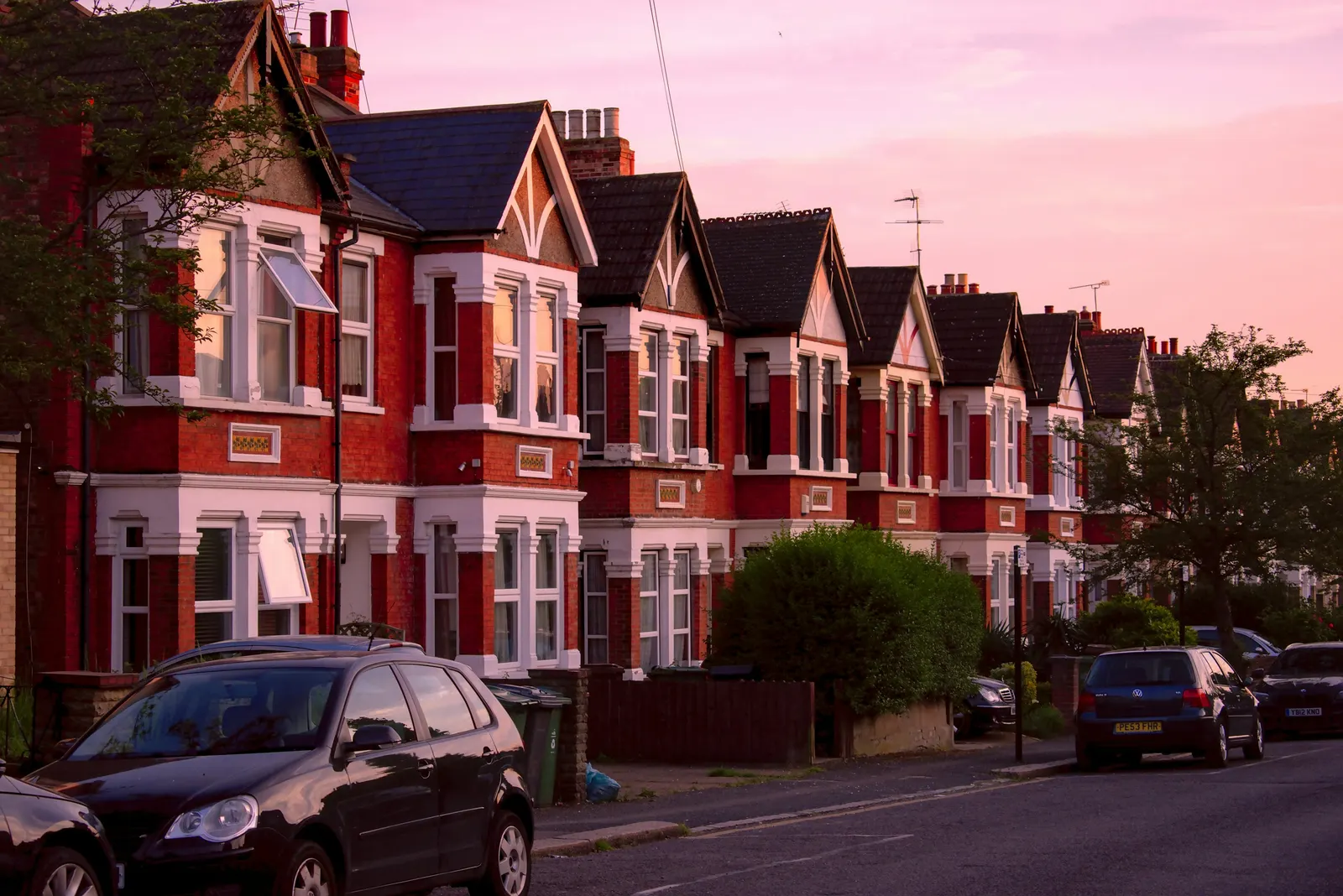
Topographical survey for a London plot: levels, boundaries and features
A topographical survey records the ground itself: how it rises and falls, where the boundaries run, and what stands on it. The fee is a fixed £200 for a typical London house plot, no VAT is charged, and our own team does the work. If your site is larger or unusual, we tell you in writing before you book whether it fits the fixed fee or needs a quote. It is a different job from a measured survey of the building, which is [priced on its own page](/london/measured-building-survey).
Fixed fee from £200 · all prices
Prefer to talk it through?
What a topographical survey shows, and what it is for
A topographical survey is a scaled drawing of the land and the things on it. Where a floor plan tells you about the inside of a house, this tells you about the plot around it: the height of the ground at many points, the line of fences and walls, the position of trees, the corners of neighbouring buildings and the covers of the drains.
Designers use it when the answer depends on the ground. That includes a new house, an extension on a sloping or tight site, a basement, a scheme that has to deal with drainage levels, and site and block plans drawn from real positions. It also feeds flood risk work, where floor levels are set against a flood level, and tree work, where the position of each tree decides what can be built near it.
Topographical Survey
from £200
Every price is the full fixed fee you pay. No VAT is charged. Council application fees are paid to the council separately.
What you get
- Levels and spot heights across the plot, stated against Ordnance Datum Newlyn
- Site boundaries and features as found on the ground
- Buildings on the plot drawn in outline
- Trees plotted by position, with the spread where it can be seen
- Drain and inspection chamber covers with their cover levels
- Tied to Ordnance Survey National Grid (OSGB36) coordinates and heights
- A CAD drawing (DWG) and a PDF of it
- Tell us the site
Send the address, what you plan to build and the approximate size of the plot, so we can confirm the fee in writing.
- Fee confirmed first
We say before booking whether your site is within the fixed fee or needs a quote. You decide then.
- Survey on site
We record levels, boundaries, buildings, trees and drain covers, tied to the Ordnance Survey grid and datum.
- CAD and PDF delivered
You receive the drawing as a DWG and a PDF, ready to design from or to send to your engineer.
What the £200 covers
The fee covers a topographical survey of a typical London house plot. The drawing records levels and spot heights, the site boundaries and features as found, the buildings on the plot, trees by position and by spread where it is visible, and drainage covers with their cover levels. It is delivered as a CAD drawing (DWG) and a PDF.
We have not set a size or point limit inside the fee, and we will not hide one in the small print. What we do instead is confirm in writing, before you book, whether your site is covered by the fixed fee or quoted. Tell us if the plot is larger than a usual house plot, if there is more than one building, or if there is heavy vegetation, and we answer first. A buried services survey, which traces utilities underground, is not part of this survey.
The Environment Agency's standing advice for flood risk assessments recommends that floor levels are set at least 600 millimetres above the estimated flood level, and says you should state all levels in relation to Ordnance Datum.
Tied to the national grid and to sea level
Every point is tied to Ordnance Survey National Grid (OSGB36) coordinates, and heights are given above Ordnance Datum Newlyn. This is done by satellite positioning against the Ordnance Survey's own network. OS Net is the Ordnance Survey's national network of satellite base stations across Great Britain. OSTN15 is the national transformation that links satellite positions to the OSGB36 National Grid, and OSGM15 is the national height model that gives access to Ordnance Datum Newlyn, the national height reference.
The reason this matters is practical. A survey on the national grid and datum lines up with the mapping used for location and block plans, and its heights can be compared with levels from other sources, such as a flood level, without anyone guessing a starting point.
When a council or the Environment Agency asks for one
Councils write their own requirements, so check yours. As one London example, Croydon's local validation list says: for new buildings, significant level changes, and/or basements, a topographical survey is required, with spot heights and contours, and it is cross-checked against sections through the site. If your borough has a similar line, the survey is what lets the sections be drawn from real levels.
Flood risk is the second place levels matter. The Environment Agency's standing advice for flood risk assessments recommends that floor levels are set at least 600 millimetres above the estimated flood level, and says you should state all levels in relation to Ordnance Datum. Where Ordnance Survey data is not enough, the advice is to get a land survey carried out by a qualified surveyor. If your site is in a flood zone, our flood risk assessment builds on the levels this survey records.

Trees, and the survey a tree report starts from
Where trees stand on or beside the site, their position matters before any design starts. A tree report to BS 5837 begins from a topographical survey: Malvern Hills District Council describes its tree constraints plan as a combination of the information gathered during a topographical survey and an accurate tree survey, and says the tree survey covers each tree with a stem diameter above 75mm, measured at 1.5m above ground.
Our survey plots the trees on your plot by position, with their spread where it can be seen. The tree survey itself, with species, condition and protection areas, is separate specialist work on our tree survey for planning page.
How it fits with the other surveys and plans
The measured building survey measures the building: rooms, walls, openings, floor-to-ceiling heights. The topographical survey measures what is around it. A basement, a new house, or an extension on a slope often needs both, because the building and the ground it sits in have to agree. For a basement the survey comes before the basement feasibility study, which weighs ground levels against what can be built below them.
For a new dwelling the levels feed straight into the design work on the new build drawings page. And if all you need for a householder application is the red line and the block plan, the location and block plans service may be enough, with a topographical survey added only when your site or your council asks for one.
Sources
Every figure on this page, where it comes from and a link to the original.
| Figure | Source | Link |
|---|---|---|
| £200 | DrawingsDirect fixed fee for a topographical survey of a typical London house plot | drawingsdirect.co.uk |
| OS Net | OS Net is the Ordnance Survey national GNSS network: (source wording: "highly accurate and resilient network of Global Navigation Satellite System (GNSS) base stations across Great Britain") | www.ordnancesurvey.co.uk |
| OSTN15 | OSTN15 is the national coordinate transformation that defines and provides access to OSGB36 via ETRS89: (source wording: "OSTN15 models the relation to/from OSGB36 British National Grid") | www.ordnancesurvey.co.uk |
| OSGM15 | OSGM15 is the national height model giving access to Ordnance Datum Newlyn: (source wording: "OSGM15 models the relationship to/from mean sea level-based heights") | www.ordnancesurvey.co.uk |
| spot heights and contours | Croydon local validation list May 2026, topographical drawings: (source wording: "For new buildings, significant level changes, and/or basements, a topographical survey is required, with spot heights and contours") | www.croydon.gov.uk |
| 600 millimetres | Environment Agency flood risk assessment standing advice, minor extensions: (source wording: "We recommend floor levels are set at least 600 millimetres (mm) above the estimated flood level.") | www.gov.uk |
| Ordnance Datum | Environment Agency flood risk assessment standing advice: (source wording: "You should state all levels in your assessment in relation to Ordnance Datum (the height above average sea level).") | www.gov.uk |
| land survey carried out by a qualified surveyor | Environment Agency flood risk assessment standing advice: (source wording: "you will need to get a land survey carried out by a qualified surveyor") | www.gov.uk |
| 75mm | Malvern Hills District Council on BS 5837 (2012) tree survey: each tree with a stem diameter above 75mm, measured at 1.5m above ground | www.malvernhills.gov.uk |
| tree constraints plan | Malvern Hills District Council on BS 5837 (2012): (source wording: "The Tree Constraints Plan should be a combination of the information gathered during a topographical survey") | www.malvernhills.gov.uk |