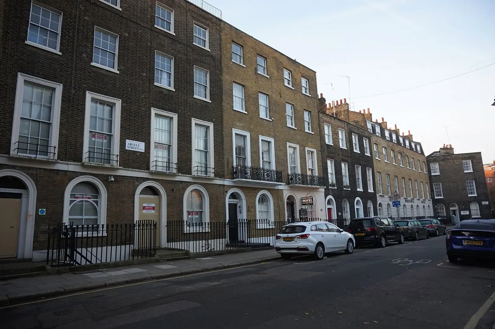
Planning DrawingsFrom £745
Do I need planning permission for a front wall, fence or gate in London?
Not if it stays at or below 1 m: a new front wall, fence or gate next to a road used by vehicles is permitted development up to 1 m above ground level, and a taller new one needs planning permission, though an old wall can be rebuilt to its former height. Our planning drawings for a front boundary start at £745, and the same measured survey shows whether a lawful development certificate is the simpler route.
Why the front boundary is held to 1 metre
Boundaries have their own part of the General Permitted Development Order 2015. Class A of Part 2 allows the erection, construction, maintenance, improvement or alteration of a gate, fence, wall or other means of enclosure, and paragraph A.1 then sets the heights. Next to a highway used by vehicular traffic the limit is 1 m above ground level; for any other boundary it is 2 m. Railings, a picket fence, a brick pier and the gate between them are all treated the same way.
On an ordinary London street the front wall sits behind the pavement, and the pavement is part of a road that carries cars, so the 1 m figure applies. Brick piers and gate posts count too: a pair of piers at 1.4 m either side of a low wall takes the whole boundary over the limit. Ground level is where disputes start, because many terraces have a front garden higher or lower than the pavement. We measure from both sides and show the heights on an elevation, so the council and your builder read the same figure.
Part 2 is not limited to houses. Unlike the porch and extension rights, which flats do not have, a ground-floor flat can usually put up a front wall to the same heights, subject to the lease and the freeholder. Our guide to whether a front porch needs planning permission covers the other job owners often plan for the same strip of garden.
- Check listing and Article 4
A listed house, or a direction covering your street, takes the boundary out of permitted development.
- Find the right limit
Next to a road used by vehicles the limit is 1 m; a boundary away from such a road has 2 m.
- Measure the existing height
Record the old wall, piers and gate first, because a rebuild may keep a former height above 1 m.
- Measure the new design
Draw the proposed elevation with every pier, cap, gate and railing finial, from ground level.
- Pick the route
Within the limits: build, or seek a lawful development certificate. Above them: a planning application.
Repairing, raising or rebuilding an old front wall
Many London front walls are already over 1 m: Victorian dwarf walls topped with railings, or later brick walls built before anyone measured them. Paragraph A.1(c) deals with these. Maintenance, improvement or alteration is permitted unless the result would exceed its former height or the height the Order allows for a new boundary in that position, whichever is the greater. So a 1.2 m wall that is crumbling can be rebuilt to 1.2 m, but not raised to 1.5 m.
The practical risk is evidence. Once the old wall is down, nobody can prove how tall it was. Before demolition, we photograph and measure the existing boundary and record it on an existing elevation, which also becomes part of a lawful development certificate if you want written confirmation. If you only want to add a trellis or a higher gate, the new top height is what counts, including posts and finials.
Listed houses, conservation areas and Article 4 directions
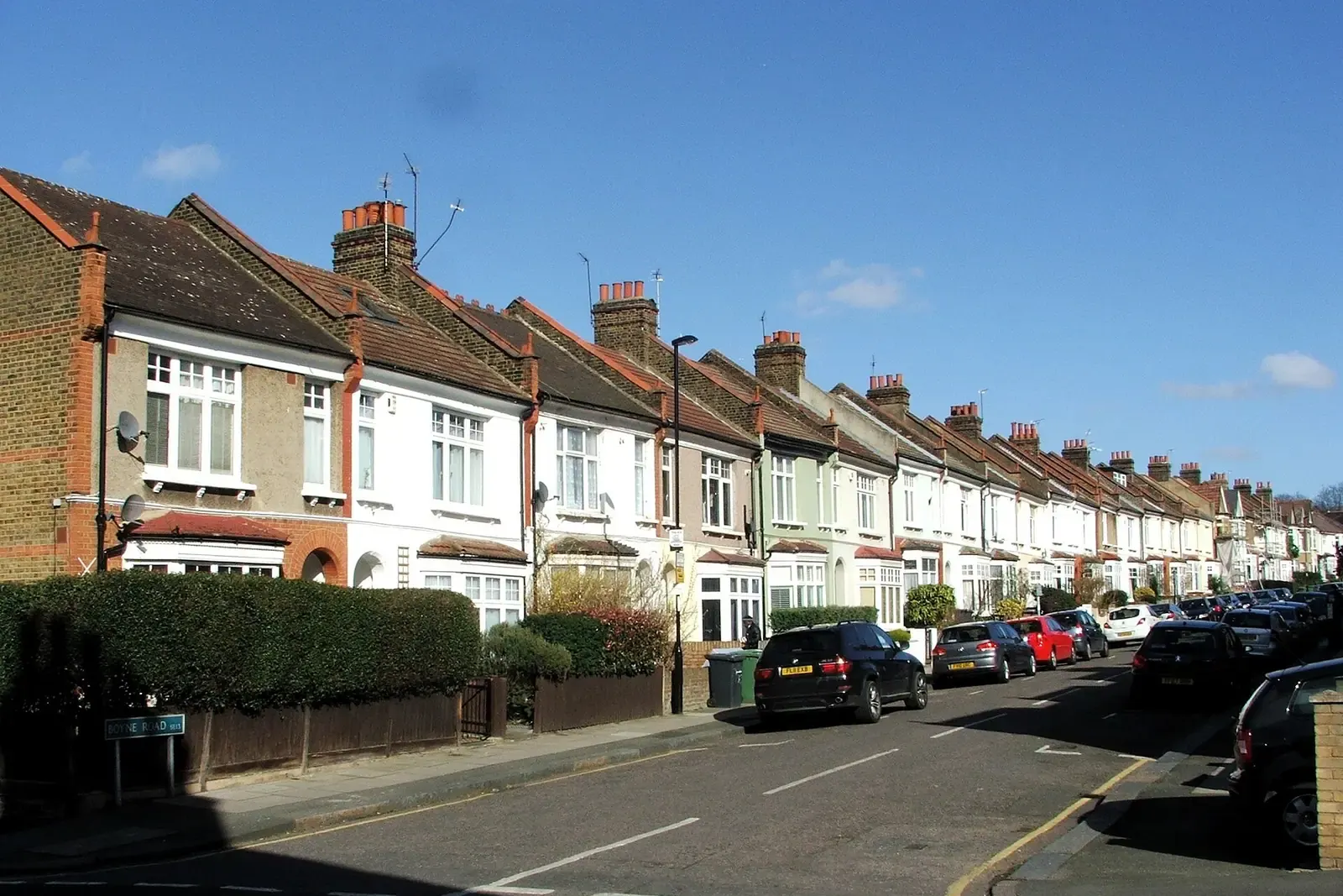
Paragraph A.1(d) removes the right altogether where the work would be within the curtilage of a listed building, or to a gate, fence, wall or other enclosure surrounding one. Listing also reaches further than the house itself: under section 1(5) of the Planning (Listed Buildings and Conservation Areas) Act 1990, a structure within the curtilage that has formed part of the land since before 1 July 1948 is treated as part of the listed building. An original front wall or set of railings can therefore need listed building consent for any change that affects its character, as well as planning permission. Our guide to what listed building consent drawings cost sets out that second application.
A conservation area does not by itself remove Class A, but councils can, and many London streets have them. The government's householder guidance explains that a council can remove permitted development rights by an Article 4 direction, or may have removed them on the original planning permission for the house, and that a planning application is then needed. Some London directions cover front boundaries for that reason: losing walls and railings to parking changes a street quickly. We read the direction text for your address, not just the conservation area map; our glossary note on Article 4 directions explains how they work.
Taking the front wall down to park a car
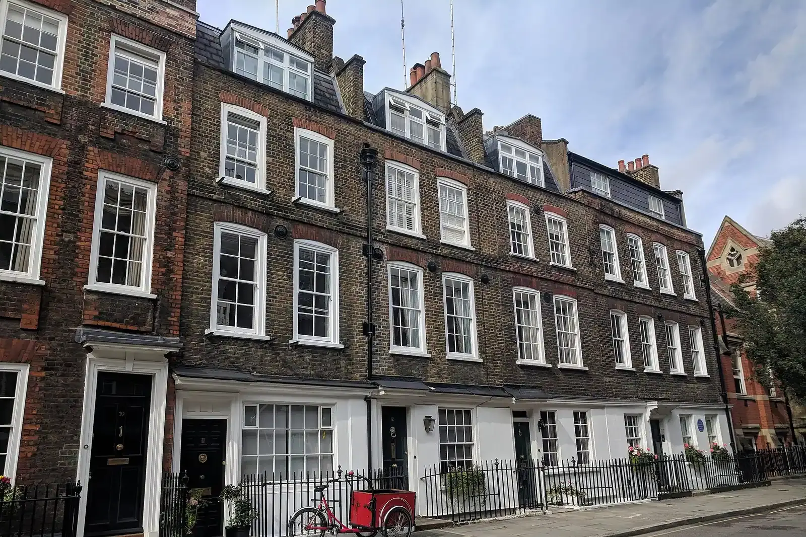
Removing a front wall is the step owners worry about least and councils watch most. Outside a conservation area, demolishing all or part of a gate, fence or wall is not development at all, according to the government's guidance on when permission is required for demolition. Inside a conservation area it is different. Only a gate, fence or wall less than 1 m high next to a highway, including a public footpath, waterway or open space, or less than 2 m elsewhere, can come down without an application. Anything taller is relevant demolition, and section 196D of the Town and Country Planning Act 1990 makes demolition without the permission it needs a criminal offence.
The parking area that replaces the wall has its own rule. Class F of Part 1 allows a hard surface in front of a house, but where it lies between the principal elevation and a highway and covers more than 5 m², it must be porous or drain to a permeable area within the plot. Class B of Part 2 then allows a new access to a road that is not a trunk or classified road, where that access serves other permitted development; a new access onto a classified road needs a planning application.
None of this gives you a crossing over the pavement. Driving over a kerbed footway is controlled by the highway authority under section 184 of the Highways Act 1980, which in London is usually the borough, and it is a separate application with its own drawing. Our dropped kerb application drawings start at £195 and can be drawn from the same survey as the boundary plan.
Garden walls shared with a neighbour
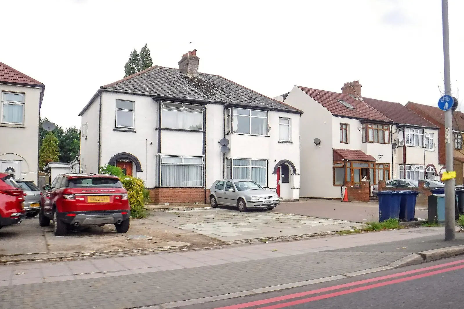
Planning is only one law that touches a boundary. A masonry wall standing astride the line between two properties is a party fence wall under section 20 of the Party Wall etc. Act 1996, defined as a wall, not part of a building, that stands on the lands of different owners and separates them. The government's guidance on party walls and building work gives a garden wall as an example and excludes wooden fences.
So rebuilding or raising a brick dividing wall between two front gardens can mean serving notice on your neighbour, even when it needs no planning permission. A timber fence on your own side of the line does not. Our guide to what party wall notices cost explains the notice and when a surveyor is involved.
Drawings for a front boundary application
A boundary is small, but the council still needs to see it in context. For a planning application we draw a location plan, a block plan with the boundary line and the road marked, existing and proposed elevations of the wall, piers and gate with heights from ground level on both sides, and a plan showing any change to the parking area. Where the boundary is in a conservation area or in front of a listed house, the elevations show materials, coping and railing details, because that is what the officer judges.
Where the design stays within the limits, a lawful development certificate gives you the council's written confirmation instead. See our planning drawings for a boundary that needs permission, and lawful development certificate drawings for one that does not. For the general rules on back and side fences, read our guide to planning permission for a fence or wall, and for the full set a householder application needs, the drawings for a householder planning application.
- Planning drawings for the boundary
- £745
- Council householder application fee
- £548
- Lawful development certificate drawings
- £645
- Dropped kerb application drawings
- £195
- Total
- £2,133
Sources
Every figure in this article, where it comes from and a link to the original.
- 1: GPDO 2015 Sch 2 Pt 2 Class A para A.1(a)(ii): gate, fence, wall or means of enclosure adjacent to a highway used by vehicular traffic not permitted above (source wording: "in any other case, 1 metre above ground level"). www.legislation.gov.uk
- 2: GPDO 2015 Sch 2 Pt 2 Class A para A.1(b): any other gate, fence, wall or means of enclosure not permitted above (source wording: "would exceed 2 metres above ground level"). www.legislation.gov.uk
- former height: GPDO 2015 Sch 2 Pt 2 Class A para A.1(c): a maintained, improved or altered enclosure may not exceed (source wording: "its former height or the height referred to in paragraph (a) or (b) ... whichever is the greater"). www.legislation.gov.uk
- listed building: GPDO 2015 Sch 2 Pt 2 Class A para A.1(d): not permitted if (source wording: "it would involve development within the curtilage of, or to a gate, fence, wall or other means of enclosure surrounding, a listed building"). www.legislation.gov.uk
- 1 July 1948: Planning (Listed Buildings and Conservation Areas) Act 1990 s1(5)(b): a curtilage structure treated as part of the listed building if it has formed part of the land (source wording: "since before 1st July 1948"). www.legislation.gov.uk
- 1: GOV.UK When is permission required: in a conservation area, demolition is permitted development for (source wording: "any gate, fence, wall or other means of enclosure less than 1 metre high where abutting a highway (including a public footpath or bridleway), waterway or open space; or less than 2 metres high in any other case"). www.gov.uk
- 196D: Town and Country Planning Act 1990 s196D(1) (source wording: "It is an offence for a person to carry out or cause or permit to be carried out relevant demolition without the required planning permission"). www.legislation.gov.uk
- 5: GPDO 2015 Sch 2 Pt 1 Class F para F.2: hard surface between principal elevation and highway must be porous or drain within the curtilage where it (source wording: "would exceed 5 square metres"). www.legislation.gov.uk
- Class B: GPDO 2015 Sch 2 Pt 2 Class B (source wording: "means of access to a highway which is not a trunk road or a classified road, where that access is required in connection with development permitted by any Class in this Schedule (other than by Class A of this Part)"). www.legislation.gov.uk
- party fence wall: Party Wall etc. Act 1996 s20 (source wording: "party fence wall" means a wall (not being part of a building) which stands on lands of different owners and is used or constructed to be used for separating such adjoining lands). www.legislation.gov.uk
Questions people ask
How high can a front garden wall be without planning permission?
Do gate piers and gates count towards the 1 m limit?
Can I rebuild my old front wall at the same height?
Do I need permission to remove my front wall for a driveway?
Does a flat have permitted development rights for a front wall or fence?
Photographs: Ian S (CC BY-SA 2.0); Chris Whippet (CC BY-SA 2.0); Richard Symonds (CC BY-SA 4.0); Lewis Clarke (CC BY-SA 2.0).


Planning Drawings: a fixed fee from £745
Read more on the planning drawings service page, or send your address below and we reply within one working day.
Planning Drawings
from £745
£545 drawings + £200 survey (£745 total)
Every price is the full fixed fee you pay. No VAT is charged. Council application fees are paid to the council separately.
What you get
- A check of your boundary against the 1 m and 2 m limits before you apply
- A check of listing, conservation area status and Article 4 directions for your address
- Existing and proposed elevations of the wall, piers and gate, heights from ground level
- Location and block plans with the boundary and the road marked
- Submission to the council and replies to the case officer
- Redraws at no charge if the council asks for changes to the boundary drawings