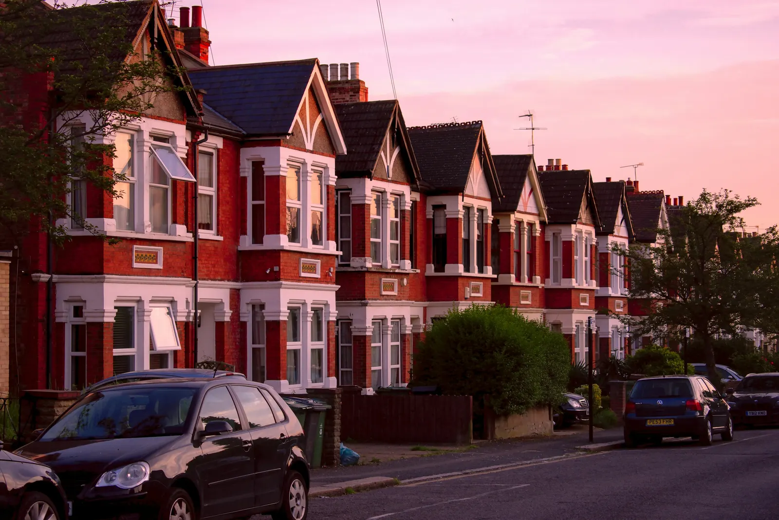
Planning constraints report for a London address
Before you plan an extension, a loft or a purchase, find out what restricts the address. A planning constraints report checks the property against government planning data for conservation areas, Article 4 directions, listed buildings, flood zones and more, and sets out in plain English what each result means. It costs £19.
Fixed fee from £19 · all prices
Prefer to talk it through?
What the report looks for
The first four checks cover most of what stops a London homeowner building what they had in mind. Is the building listed? Is it in a conservation area? Is there an article 4 direction that removes permitted development rights? And does the address sit in a flood zone? Other checks, such as trees, green belt, archaeological priority areas and air quality management areas, are run where the data exists.
Each result is marked as found or not found, with the source and the date the data was last updated. We do not guess. If a dataset has no coverage for your council, the report says so, rather than showing a blank that looks like an all-clear.
Planning Constraints Reports
from £19
Every price is the full fixed fee you pay. No VAT is charged. Council application fees are paid to the council separately.
What you get
- A one-page result for your address from the national planning datasets
- Conservation area, listed building and Article 4 results, each marked found or not found
- Flood zone and other environmental designations that apply
- A plain-English note of what each result means for extensions and lofts
- A clear statement of what the search cannot tell you
- A recommended next step for your project
- Fix the address
The exact property and its boundary, so the check is run on the right plot.
- Run the datasets
The address is checked against national planning data for each designation.
- Read the results
Each hit is checked, because data can be incomplete or out of date.
- Explain
What a conservation area, an Article 4 direction or a listing means for your project.
- Recommend
Whether to proceed, confirm with the council, or order a fuller feasibility study.
What each result means
A listed building means the listing covers the entire building, internal and external, unless the entry says otherwise, so alterations that affect its character need listed building consent. A conservation area means a higher bar for external changes, and removes the larger permitted development depths for extensions. An article 4 direction means the council has withdrawn some permitted development rights, so work that would normally need no application may now need one.
Government guidance confirms the mechanism: permitted development rights can be removed by the council, either by a condition on a planning permission or by an article 4 direction. A condition does not show up on a map, which is why a map-based report is a starting point and not the end of the checking.
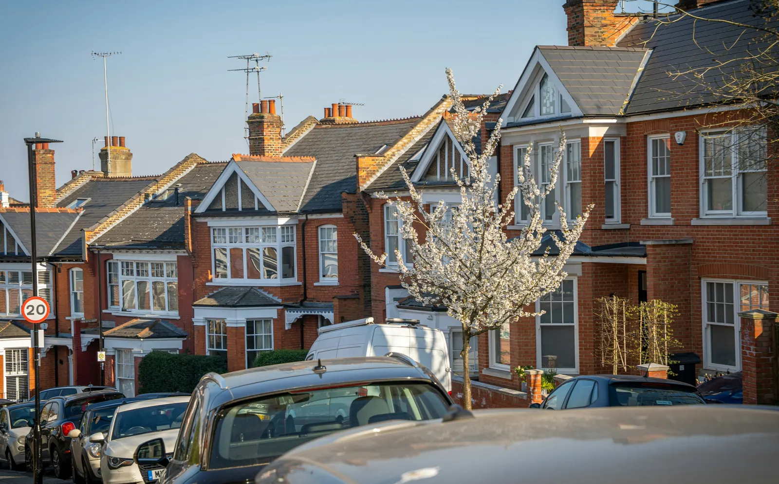
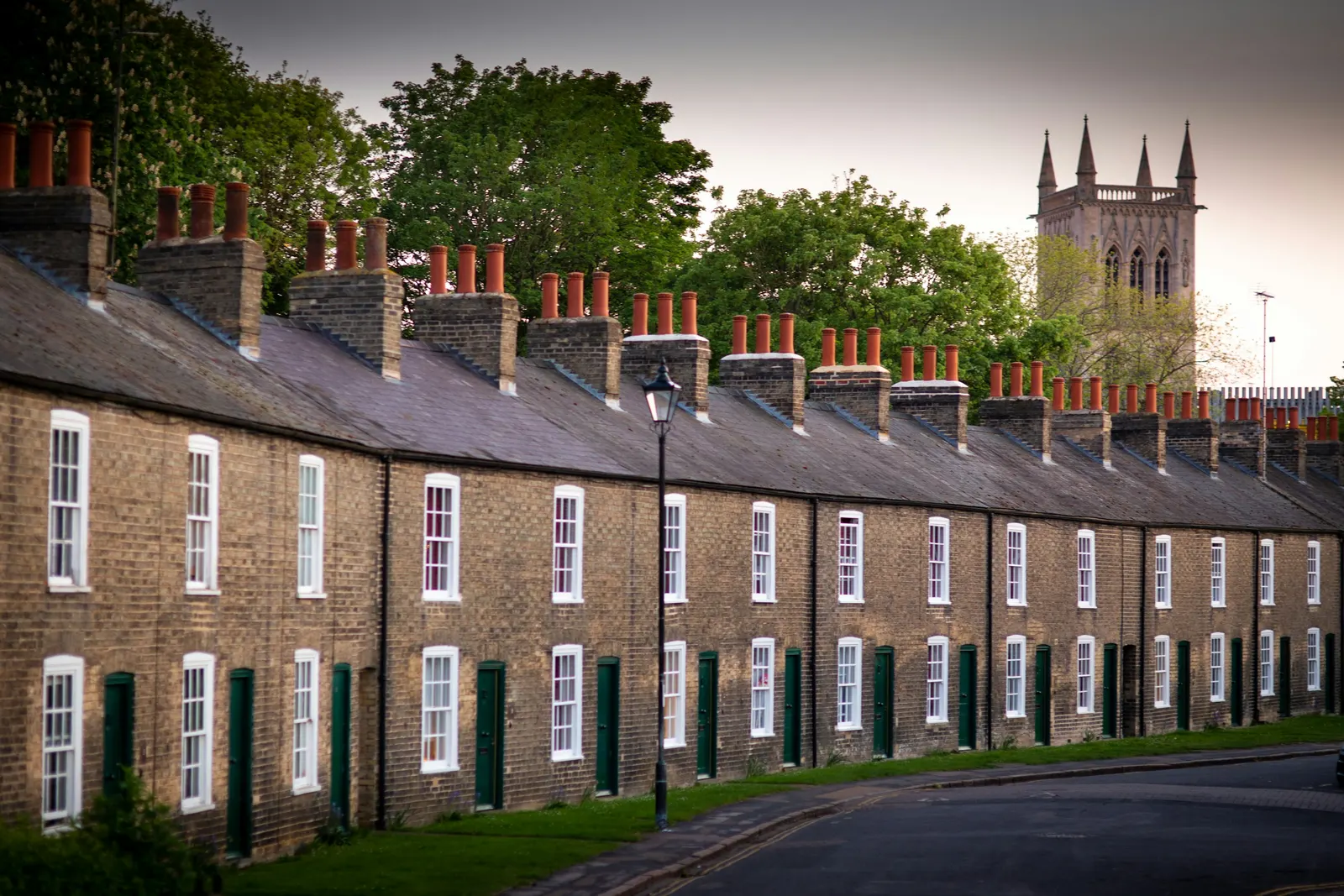
The national planning data platform collects planning and housing data from councils and publishes it as open datasets, under the Open Government Licence.
Trees, and a six week rule
If the address is in a conservation area, its trees are protected even where there is no tree preservation order. Section 211 of the Town and Country Planning Act requires six weeks' notice to the council before certain work, and the work may go ahead before the end of that period only if the council gives consent. A garden tree you thought you could trim on a Saturday may be covered.
The report flags the conservation area and the consequence for trees in one line. If a tree is close to your planned work, a tree survey is the next step.
Where the data comes from, and how far to trust it
The national planning data platform collects planning and housing data from councils and publishes it as open datasets, under the Open Government Licence. It lists 55 geography datasets, including conservation areas, Article 4 direction areas, listed buildings, flood risk zones and green belt. Its own warning is that the data may be incomplete and may not yet cover all of England.
That limit is why the report ends with a clear statement of what it cannot show. A council's own records can hold a designation that the national dataset has not yet picked up, and conditions on earlier permissions are not in the datasets at all. Before spending money on drawings, confirm anything that matters with the council. We tell you which results to confirm.

What to do with the result
If nothing is found, the likely next step is to check permitted development limits for your project; a feasibility study does that properly. If a designation is found, the report says what it changes, and you can decide whether the project still makes sense before you spend more.
Buying a house? The constraints report is the quick version of our pre-purchase planning report, which adds the planning history and a comparison of what is built with what was approved.
Fee, and what it is not
The fixed fee is £19, the total you pay, with no VAT charged. It is a desk check of open data, not a local authority search, a legal opinion or a guarantee that the address has no restrictions. It does not replace your solicitor's searches when you buy.
Send the full address, including the postcode, and a line on what you are planning. If you tell us about the project, the note on each result is written for it.
Sources
Every figure on this page, where it comes from and a link to the original.
| Figure | Source | Link |
|---|---|---|
| may be incomplete | Planning Data platform, Datasets page: (source wording: "The data may be incomplete and not yet cover all of England") | www.planning.data.gov.uk |
| Open Government Licence | Planning Data platform, Conservation area dataset (source wording: "Licensed under the Open Government Licence v.3.0") | www.planning.data.gov.uk |
| internal and external | Planning Practice Guidance, Historic environment, para 043: for all grades of listed building, unless the list entry indicates otherwise, the listing covers the entire building (source wording: "internal and external") | www.gov.uk |
| condition on a planning permission or by an article 4 direction | Planning Practice Guidance, When is permission required?, para 020: (source wording: "Permitted development rights can be removed by the local planning authority, either by means of a condition on a planning permission, or by means of an article 4 direction") | www.gov.uk |
| six weeks | Planning Practice Guidance, Tree Preservation Orders and trees in conservation areas, para 116: section 211 requires notice (source wording: "6 weeks before carrying out certain work on such trees") | www.gov.uk |
| 55 | Planning Data platform, Datasets page, Geography group (source wording: "There are 55 results in Geography", including Article 4 direction area, Conservation area, Flood risk zone, Listed building, Green belt) | www.planning.data.gov.uk |