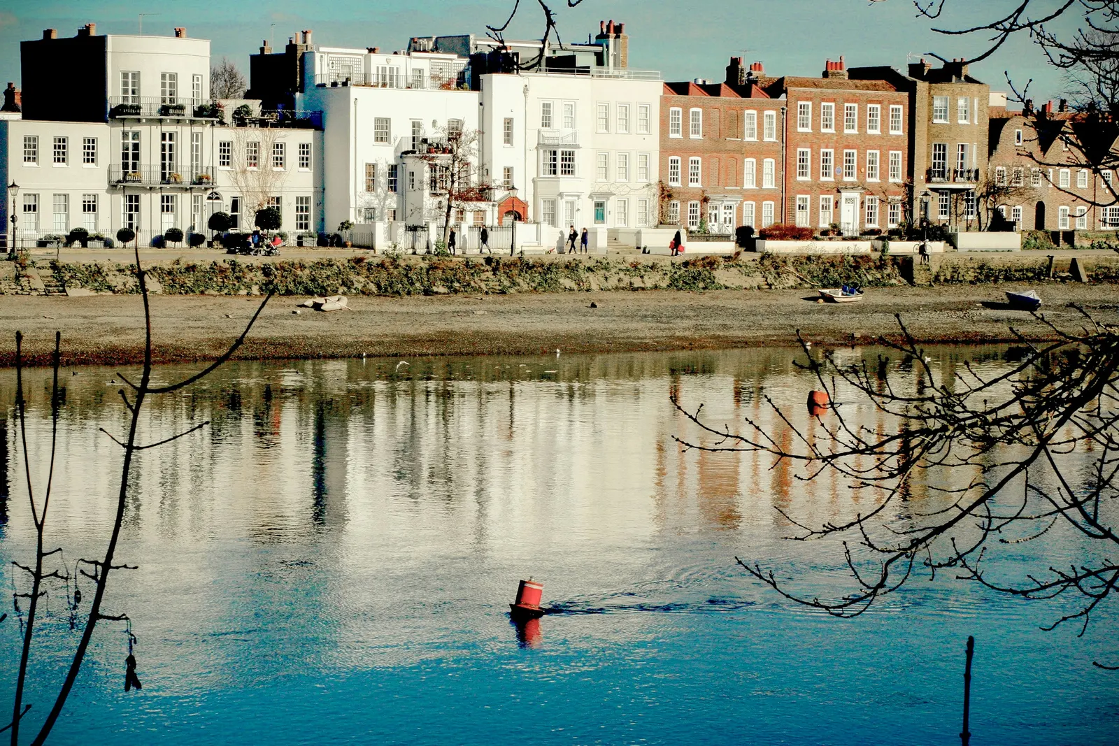
Flood risk assessments for London planning applications
If your site is in a flood zone, or at risk of surface water flooding, the council will not decide your planning application without a flood risk assessment. We check your site on the Environment Agency flood map, work out whether an assessment is required at all and, if it is, write it for a fixed £395.
Fixed fee from £395 · all prices
Prefer to talk it through?
When the council requires one
The Environment Agency's guidance for planning applicants says you should complete a flood risk assessment for all development, including minor development and changes of use, in Flood Zones 2 or 3. It is also needed in Flood Zone 1 for a site of 1 hectare or more, or where the flood map shows surface water flooding risk now or in future, and where the council's own strategic assessment shows increased risk.
That is why the first step is the address, not a quote. Plenty of London sites sit in Flood Zone 1 and need nothing. Others are in Zone 3 beside the Thames, the Lee or one of the smaller rivers, and a few are in Zone 1 but wet from surface water because of a low point in the road. We tell you which you are before you pay for anything.
Flood Risk Assessments
from £395
Every price is the full fixed fee you pay. No VAT is charged. Council application fees are paid to the council separately.
What you get
- A check of the site on the Environment Agency flood map for planning
- A flood zone and surface water risk result for the address
- The vulnerability classification of your proposed use, tested against the zone
- A written site-specific assessment in the structure councils expect
- A sustainable drainage note where the scheme could affect drainage
- The assessment as a PDF for the planning application
- Find the flood zone
The address on the Environment Agency flood map for planning, plus the council's strategic flood risk assessment.
- Check other sources
Surface water, groundwater, reservoirs and any main river or flood defence near the site.
- Classify the use
Is the proposal more or less vulnerable than what is there now, and does the zone allow it?
- Design the response
Floor levels, flood resilience, a safe route out, and surface water drainage.
- Write and submit
A concise assessment for the planning officer, tied to your drawings.
Small extensions, and doing it yourself
The same guidance makes an honest exception. It says you will usually need to pay a flood risk specialist, but that for a simple, low risk development, for example a house extension, you may be able to do the assessment yourself. A minor extension is defined as a household or non-domestic extension with a floor space of no more than 250 square metres.
If your project is a small rear extension in Flood Zone 2 and the council's standing advice covers it, we say so and you can skip the full assessment. If you want it done properly, or the site is in Zone 3 or near a river, we write it. Either way we would rather you spend nothing than pay for a report the council does not need.
It says you will usually need to pay a flood risk specialist, but that for a simple, low risk development, for example a house extension, you may be able to do the assessment yourself.
What the assessment contains
A site-specific assessment sets out where the site sits on the flood map, the source of any risk, the vulnerability of the proposed use and how the scheme responds: floor levels set above the flood level, flood-resilient construction below it, a safe way to leave the building and no increase in flood risk to neighbours. The guidance asks applicants to check whether the site is within 20 metres of a main river or flood defence, and we do that for every address.
Where a scheme could affect drainage on or around the site, or is in an area at risk from flooding or surface water, the planning guidance also expects a sustainable drainage strategy, designed to the national standards for sustainable drainage systems. It can sit inside the assessment, and we include a short one in the same document.
Basements and lower ground floors
Anything below ground in a flood-prone area needs the most careful treatment, because water can arrive from the surface, from a rising water table or from drains backing up. A basement conversion in a flood zone or at surface water risk falls squarely within the cases where an assessment is expected, and a council may ask for further basement studies as well.
If you are planning one, start with our basement conversion drawings, which are prepared with the flood assessment in mind. The two documents have to agree on levels, and the sooner they are designed together, the less redesign you pay for.

What the council and the Environment Agency do with it
The council reads the assessment against national planning policy, which tests whether the use is appropriate for the flood zone and whether it would increase flood risk elsewhere. In some cases the council must consult the Environment Agency, which is why the guidance asks you to find out whether you are in Flood Zone 3b, the functional floodplain, before anything else is designed.
A good assessment answers those two tests early, in plain terms. We do not claim a scheme is safe when the flood map says otherwise, and where an idea cannot be made acceptable in the zone, we say so before you have paid for drawings.
Fee, and when a specialist is brought in
The fixed fee is £395, the total you pay, with no VAT charged. It covers the flood map check, the vulnerability test and the written assessment with a drainage note for a house, extension or small conversion. For major development, functional floodplain or a site that needs bespoke river modelling, a specialist hydrologist is needed. We say so at the start and quote their work separately.
Send the address and a line on what you want to build. If the Environment Agency flood map puts you in Zone 1 with no surface water risk, we tell you so and you need pay nothing.
Sources
Every figure on this page, where it comes from and a link to the original.
| Figure | Source | Link |
|---|---|---|
| Flood Zones 2 or 3 | Environment Agency, Flood risk assessments: applying for planning permission: you should complete a FRA for all development (including minor development and changes of use) proposed (source wording: "in Flood Zones 2 or 3") | www.gov.uk |
| 1 hectare or more | Environment Agency, Flood risk assessments: applying for planning permission: (source wording: "within Flood Zone 1 with a site area of 1 hectare or more") | www.gov.uk |
| house extension | Environment Agency, Flood risk assessments: applying for planning permission: (source wording: "An exception to this may be if it is for a simple, low risk development, for example, a house extension. In this case you may be able to do it yourself") | www.gov.uk |
| 250 square metres | Environment Agency, Flood risk assessments: applying for planning permission: (source wording: "A minor extension is a household or non-domestic extension with a floor space of no more than 250 square metres") | www.gov.uk |
| 20 metres | Environment Agency, Flood risk assessments: applying for planning permission, research the development site: find if the development is (source wording: "within 20 metres of main river or flood defence") | www.gov.uk |
| sustainable drainage strategy | Environment Agency, Flood risk assessments: applying for planning permission: (source wording: "You need to include a sustainable drainage strategy if your application is for development: which could affect drainage on or around the site") | www.gov.uk |