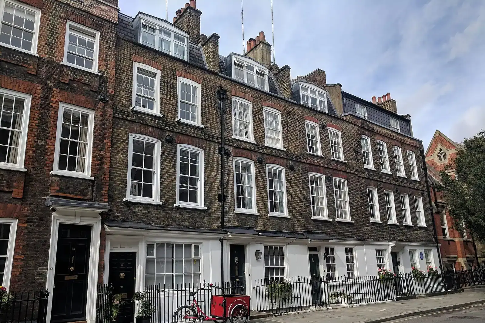
Westminster planning guide: what the council asks for, and which report answers it
Westminster published a new Local List of Planning Application Validation Requirements in July 2026, and its City Plan 2019-2040 was re-adopted in its current form on 21 January 2026. Much of the city is conservation area and a great deal of it is listed, so the list reads differently here from the outer boroughs: heritage statements, window details and basements come up before extensions do. This guide follows that order and names the report behind each row. Start with a planning constraints report, £19, to see which of them your address triggers.
Fixed fee from £19 · all prices
Prefer to talk it through?
Westminster's 2026 list: what changed and how it is organised
Westminster's validation requirements page links to the council's Local List of Planning Application Validation Requirements, which is dated July 2026. It has two parts: national requirements that are needed for any application to be valid, and local requirements, numbered with an L, that depend on the scheme and the site.
The local rows are the ones this guide follows. Each one states when it is required, the policy behind it, and the application types it covers.
Westminster Council Planning Guide
from £19
Every price is the full fixed fee you pay. No VAT is charged. Council application fees are paid to the council separately.
What you get
- The July 2026 Local List rows that apply to householder work, in plain words
- City Plan basement and heritage policies, quoted from the 2026 plan
- The window, demolition and photograph rules that matter in a conservation area
- The report that answers each row, linked with its fixed fee shown
- Links to Westminster's planning register, validation list, City Plan and building control
- A planning constraints report for your address from £19, no VAT
- Find the designation
Conservation area, listing or flood zone decides most of the extra documents.
- Detail the change
Windows, demolition and roof work each have their own drawing rule in the list.
- Answer the basement rows
A basement brings a structural statement, a flood assessment and a construction practice checklist.
- Submit a clean set
A set that meets the list can be checked as valid without a request for more information.
Drawings: demolition, windows and photographs
Row L1 sets the baseline. All plans and drawings must be drawn to an identified scale, plans must show north, and a linear scale bar goes on each drawing. Where there is demolition, the drawings must highlight the areas to be demolished “hatched in red” and show the footprint and elevations of what exists compared with what is proposed.
Windows get their own sentence, which matters in a city of sash windows. For replacement windows and doors the list asks for existing and proposed elevations identifying which are to be replaced, sections of both, and larger-scale details of glazing bars, beading or the spacing between panes. Where a proposal touches a listed building or conservation area, dated and numbered photographs cross-referenced to the plans are likely to be required.
These are the rows we check before a set goes in. Our planning drawings and house extension drawings follow them, and the Westminster planning permission page covers drawings for applications in the borough.
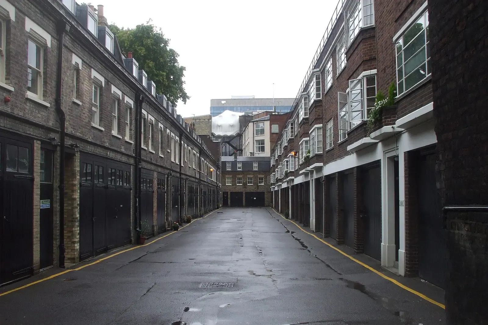
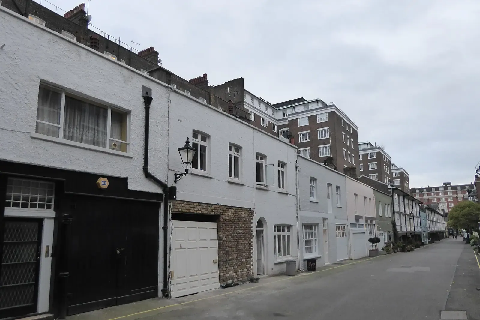
The national Planning Data register lists 56 conservation areas for Westminster.
Heritage: 56 conservation areas and the City Plan test
The national Planning Data register lists 56 conservation areas for Westminster. That is a record count, not a map of your street, so check your own address. Article 4 directions can also remove rights that would apply elsewhere.
Policy 44 of the City Plan sets the test. Among its conservation area rules: “Development will preserve or enhance the character and appearance of Westminster's conservation areas.” It also says there will be “a presumption that unlisted buildings that make a positive contribution to a conservation area will be conserved”. For a house in a conservation area, that sentence is why the heritage statement has to engage with the building and not only the extension.
Row L25 asks for a Heritage Statement where a proposal affects a heritage asset or its setting. It should be proportionate, and it can sit inside the Design and Access Statement as “a clearly identified separate section on heritage”. A design and access statement is itself required in a conservation area where a scheme creates one or more dwellings or 100 sq m or more of floorspace, and for all listed building consent applications. Our heritage statement, design and access statement and listed building consent drawings follow these rows, and the Westminster heritage statement page and Westminster listed building consent page cover the borough detail.
Basements: the City Plan limit and four documents
Policy 50 of the City Plan governs basements. Basement developments will be supported where they “do not extend beneath more than 50% of the garden land”, and on small sites where the garden is 8 m or less at its longest point they may extend up to 4 m from the original building. The policy also asks for a margin of undeveloped garden and sets limits where a basement runs under the highway.
The supporting text sets out what a Westminster basement application is expected to carry. Applications “should be accompanied by a structural methodology statement and appropriate self-certification from a suitably qualified engineer”. A site-specific flood risk assessment and a structural statement are required for basements in flood zone 2 or 3 or in surface water flood risk hotspots, and a signed Appendix A checklist from the council's Code of Construction Practice should accompany a basement application.
In the Local List, the structural methodology statement (row L39) is required for all basement development, and a basement application also brings a soil investigation, a geo-hydrology assessment and a SuDS statement. A basement feasibility visit comes first, to test whether the dig fits the 50% limit before any of these documents are commissioned.

Flood risk: what triggers an assessment
Row L23 requires a flood risk assessment for all basement development, all development in Flood Zones 2 and 3 as the Environment Agency defines them, and development within a Surface Water Flood Risk Management Zone. The list also says that for extensions of less than 250 square metres in Flood Zones 2 and 3 a simple flood risk assessment is enough, and it offers a template.
That makes the address the first question again. A planning constraints report shows the zone, and the flood risk assessment page explains what is in the assessment when you need one.
Daylight and sunlight
Row L18 asks for a daylight and sunlight assessment where a proposal is likely to have an adverse effect on levels of light to adjoining sensitive land uses. The method is the Building Research Establishment guide, “Site layout planning for daylight and sunlight: a guide to good practice”.
In dense central streets a rear addition or an extra storey can matter to a neighbour's windows. A specialist we coordinate prepares the daylight and sunlight report from your drawings.
Building control, construction practice and trees
Westminster's building control applications page takes full plans, building notice and regularisation applications online. Which of our reports fits depends on where your project stands. The building regulations reports guide sorts them, and the building regulations drawings page covers the set that goes to building control.
Row L15 asks for a signed Appendix A checklist from the Code of Construction Practice with all development involving basement excavation (Checklist B) and other Level 1 and Level 2 development (Checklist A). Row L44 asks for a tree survey where trees on the site or on adjacent land, including street trees, are likely to be affected; see our tree survey for planning. Row L7 asks for a Community Infrastructure Levy additional information form with every application, which our CIL form preparation covers.
Party wall
Most central London houses share walls, and the Party Wall etc. Act 1996 applies to work on or near them and to excavation beside a neighbour, whatever the planning position. It is national law, separate from planning. Our party wall services guide explains the notices and what a neighbour can do.
Sources
Every figure on this page, where it comes from and a link to the original.
| Figure | Source | Link |
|---|---|---|
| July 2026 | Westminster City Council, Local List of Planning Application Validation Requirements: the document cover is dated (source wording: "July 2026"); the validation requirements web page calls it (source wording: "WCC Local List of Validation Requirements 2026") | www.westminster.gov.uk |
| 21 January 2026 | Westminster City Council, Westminster's planning policies page: the City Plan 2019-2040 was (source wording: "first adopted by full council on 21 April 2021") and (source wording: "the current version of the Plan was adopted by full council on 21 January 2026") | www.westminster.gov.uk |
| 50% | Westminster City Plan 2019-2040 (2026 edition), Policy 50 B1: basement developments will be supported where they (source wording: "Do not extend beneath more than 50% of the garden land"); on small sites where the garden is 8m or less at its longest point basements may extend up to 4m from the original building | www.westminster.gov.uk |
| all basement development | Westminster Local List July 2026, L39 Structural Methodology Statement: required for all basement development, with self-certification by a suitably qualified engineer; City Plan paragraph 50.2 (source wording: "should be accompanied by a structural methodology statement and appropriate self-certification from a suitably qualified engineer") | www.westminster.gov.uk |
| 250 square metres | Westminster Local List July 2026, L23 Flood Risk Assessment: required for all basement development, all development in Flood Zones 2 and 3 and development within a Surface Water Flood Risk Management Zone; (source wording: "For extensions of less than 250 square metres in Flood Risk Zones 2 and 3, a simple flood risk assessment is sufficient") | www.westminster.gov.uk |
| 56 | Our analysis of MHCLG Planning Data Platform conservation-area and article-4-direction datasets (extracted 19 Oct 2026) | www.planning.data.gov.uk |
| Appendix A | Westminster Local List July 2026, L15 Code of Construction Practice: (source wording: "A signed Appendix A checklist from the Code of Construction Practice should be submitted") for all development involving basement excavation (Checklist B) and other Level 1 and Level 2 development (Checklist A) | www.westminster.gov.uk |
| hatched in red | Westminster Local List July 2026, L1 Plans and drawings: all drawings must be drawn to an identified scale and (source wording: "a linear scale bar included on each drawing"); where demolition is proposed the areas to be demolished are (source wording: "hatched in red") | www.westminster.gov.uk |
| BRE guide | Westminster Local List July 2026, L18 Daylight and Sunlight Assessment: required if the proposal is likely to have an adverse effect upon levels of light to adjoining sensitive land uses, following the BRE document (source wording: "Site layout planning for daylight and sunlight: a guide to good practice") | www.westminster.gov.uk |
Every report on this page, with its fixed fee
| Report | Fixed fee | What it is |
|---|---|---|
| Planning constraints report | £19 | Conservation area, listing, Article 4 and flood zone checked for your address Written up on fixedfeeplans.co.uk. |
| Heritage statements | £595 | The significance and impact statement the list asks for on heritage assets Written up on fixedfeeplans.co.uk. |
| Listed building consent drawings | £1,695 drawings + £200 survey (£1,895 total) | Drawings, photographs and schedule of works for a listed property |
| Basement conversion feasibility | £495 drawings + £200 survey (£695 total) | A visit and report before you commit to a basement under City Plan Policy 50 |
| Flood risk assessments | £395 | For basements, Flood Zones 2 and 3 and surface water management zones Written up on fixedfeeplans.co.uk. |
| Daylight and sunlight reports | £895 | The BRE assessment where light to neighbouring land uses may fall Written up on www.propertyarchitecture.co.uk. |
| Tree surveys for planning | £445 | For trees on the site or next door, street trees included Written up on www.propertyarchitecture.co.uk. |
| Design and access statements | £245 | Needed in a conservation area where a scheme adds a dwelling or 100 sq m Written up on fixedfeeplans.co.uk. |
| Building regulations reports | £225 | Which building regulations report fits your project |
| Party wall services | £45 | Notices under the Party Wall etc. Act 1996 for terraces and basements |
Questions people ask
How big a basement can I build in Westminster?
What does Westminster want for a basement application?
Do I need a heritage statement to replace windows in Westminster?
Do I need a flood risk assessment for a small extension?
Will the list change before I apply?
Photographs: Richard Symonds (CC BY-SA 4.0); John Lord (CC BY-SA 2.0); Marathon (CC BY-SA 2.0); John Lord (CC BY-SA 2.0).


