Newham Council planning guide: what the council asks for, and which report answers it
Newham calls its local validation list the Planning Application Requirements, and the edition we read is dated December 2024. It is stricter on file format than most councils, and its flood rules turn on a map layer many owners have never heard of, the Critical Drainage Area. This guide walks through it for household projects, with the report that answers each requirement. Start with a planning constraints report for your address, £19.
Fixed fee from £19 · all prices
Prefer to talk it through?
What Newham's Local Plan says about heritage and gardens
Newham's development plan starts with the Local Plan 2018, which the council formally adopted at Full Council on 10 December 2018. It replaced the Core Strategy and the Detailed Sites and Policies document. A review of the plan is under way, so the 2018 plan is what officers apply today. Our Newham planning permission page covers drawings for applications here.
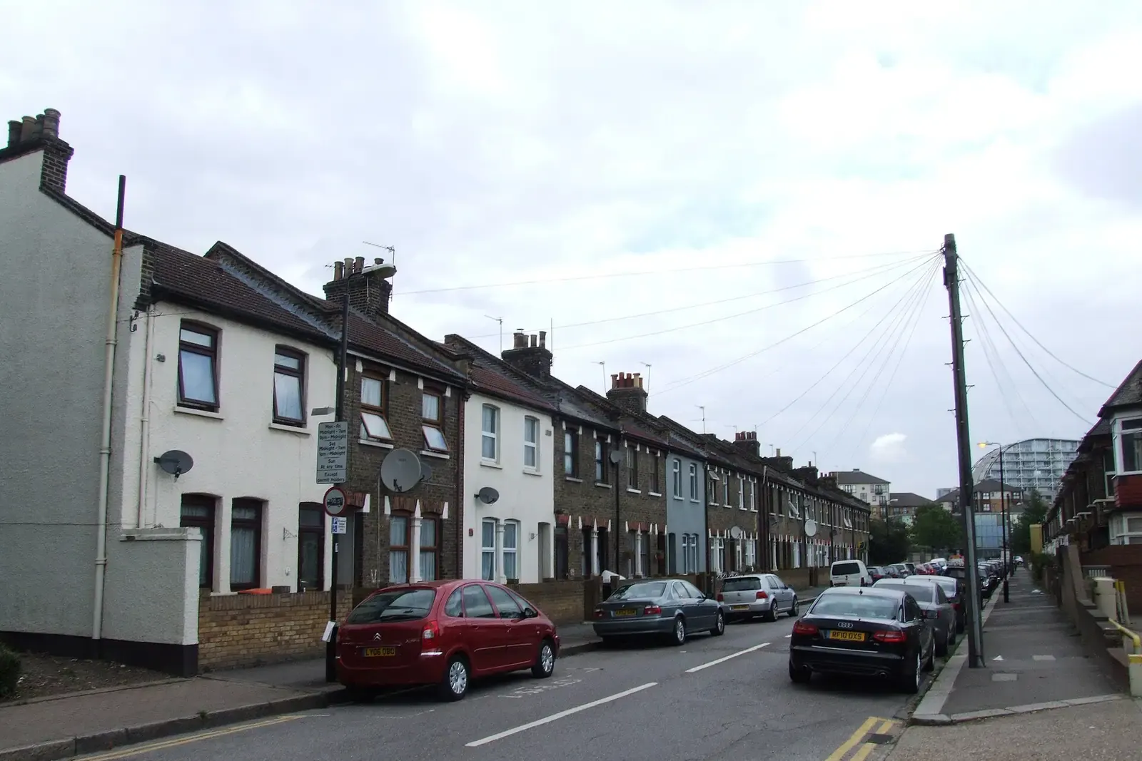
Two policies bite on household work. Policy SP5 asks that proposals “should refer to and draw on the borough's Character Study (which includes details of Areas of Townscape Value)”, and the plan lists nine such areas, including Forest Gate, Manor Park, Canning Town and Wanstead Flats. An Area of Townscape Value is not a conservation area, but it is a reason for the drawings to show how the new work sits in the street.
Policy SC3 is the one that surprises owners with a back garden. It states “there is a presumption against impermeable hard-standing on domestic gardens and public open space”. A rear extension or an outbuilding that covers more garden with a hard surface has to be explained against that sentence.
Newham Council Planning Guide
from £19
Every price is the full fixed fee you pay. No VAT is charged. Council application fees are paid to the council separately.
What you get
- A plain reading of Newham's December 2024 Planning Application Requirements
- The Local Plan 2018 policies on heritage and drainage, quoted from the plan
- Which reports your project triggers, each linked to its own fixed-fee page
- Links to Newham's planning register, validation list, Local Plan and building control
- A planning constraints report for your address from £19
- Fixed fees shown before you ask, and no VAT charged
- Check the address
Flood zone, Critical Drainage Area and conservation area all change what Newham asks for.
- Prepare the drawings
PDF only, drawn to scale, with no 'do not scale' note, at the scales the list sets.
- Add what is triggered
Flood, heritage and daylight documents follow from the address and the scheme.
- Complete the checklist
Newham asks you to fill in its submission checklist so each document can be found.
What a drawings review checks for Newham
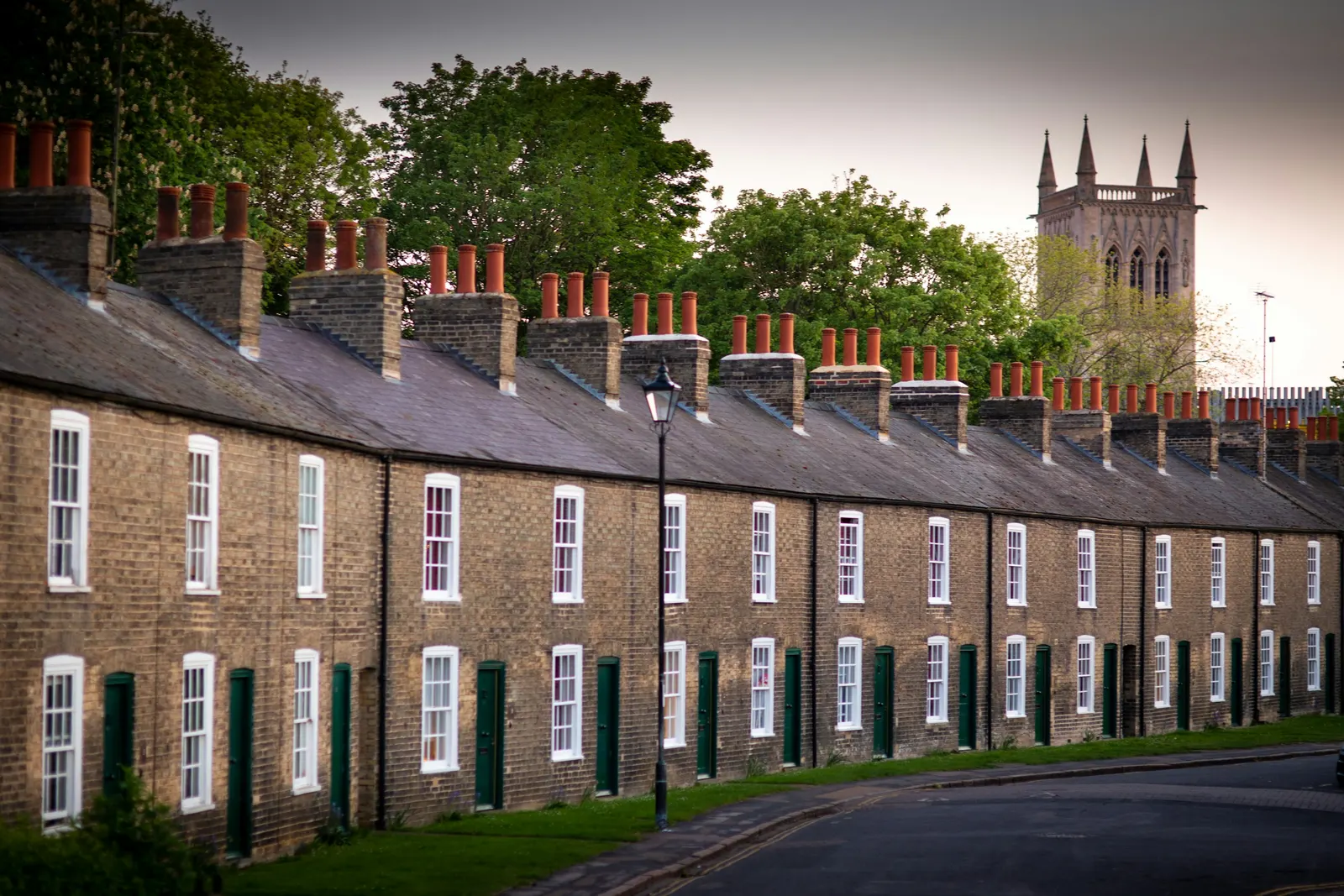
The Planning Application Requirements set the format before the content. Drawings must be PDF, not JPEG, TIF, Word, Excel or CAD files, and they must be scalable: a note such as ‘Do not scale’ on a drawing means it will not be accepted. That single line catches sets exported from drawing software with a default disclaimer in the title block.
The scales are set out by drawing type. The location plan is 1:1250 or 1:2500 with the site outlined in red and at least two named roads where possible. The block plan is 1:100, 1:200 or 1:500, floor plans and elevations are 1:50 or 1:100, and roof plans 1:100. Where a new elevation adjoins another building, the drawings must show the relationship and the position of openings on both properties. Sections are not needed for a small householder scheme with no change to floor levels.
For retrospective applications, the list asks for pre-existing plans, elevations and sections, so photographs of the building as it was matter. We check these rows before a set goes in. Our planning drawings and house extension drawings are set out to them.
It must follow the Building Research Establishment's BR209 (2022) guide and include diagrams and calculations of Vertical Sky Component and Average Daylight Factor where relevant.
Flood zones, Critical Drainage Areas and the documents they trigger
Newham's list requires a flood risk assessment for development in Flood Zone 2 or 3 “unless the development is a householder”, or does not increase the size of buildings, or is a non-residential extension under 250 sq m. It also requires one for Flood Zone 1 development that is in a Critical Drainage Area, and the householder exception is not written against that line. The council's map of Critical Drainage Areas is linked from the list.
So for a house in Flood Zone 1 the question is whether the street sits in a Critical Drainage Area. Where it does, the list also asks for a surface water drainage strategy, and Policy SC3 says development in a Critical Drainage Area “should achieve Greenfield Run-off”. Near the Thames, finished floor levels in Flood Zone 2 or 3 for the more vulnerable uses must be no less than 300mm above the 1% annual probability flood level plus climate change allowance.
Our Newham flood risk assessment page reads these rules in detail, and a planning constraints report shows the flood zone for your address. The SuDS drainage statement is the document for the surface water side.
Heritage: conservation areas, Areas of Townscape Value and Article 4
The council's conservation areas page names nine conservation areas, among them Durham Road in Manor Park, East Ham, Forest Gate Town Centre, Romford Road, Stratford St John's and the Woodgrange Estate. It adds that in a conservation area you may need planning permission for work that would not normally need it, such as dormer windows or changing windows or doors.
Newham's Article 4 page lists a direction removing permitted development rights for homes in multiple occupation, and says Article 4 Directions also apply in the Durham Road, Romford Road and Woodgrange Road conservation areas. The list asks for a heritage, character and place-making asset statement for applications affecting listed or locally listed assets and for applications in or adjacent to a conservation area, where an assessment of the impact on character may be required.
Our heritage statement covers that document. If your project is a conversion for several tenants, the HMO licence plans page covers the licensing side in Newham.

Daylight and sunlight
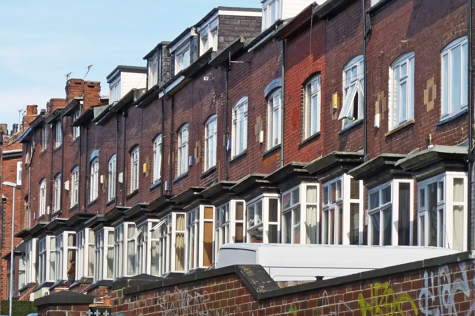
The list asks for a daylight and sunlight assessment for any proposal that may affect the sunlight or daylight enjoyed by adjoining properties, including gardens and amenity spaces. It must follow the Building Research Establishment's BR209 (2022) guide and include diagrams and calculations of Vertical Sky Component and Average Daylight Factor where relevant.
The list adds that planning consent does not give immunity from the Rights of Light Act 1959, which is a separate legal question for your neighbour's solicitor. Where a scheme could cut light to a neighbour, a daylight and sunlight report is prepared from your drawings by our own team.
Building regulations and Newham's building control
Newham's building control service says its approval is different from planning permission. It covers building and construction, energy efficiency and accessibility, and starting without approval can mean costly alterations or problems at sale.
Our building regulations reports guide sorts the drawings, a drawing check, comments answered and regularisation by where your project stands, and the building regulations drawings page covers the set that goes to building control.
Party wall and builder's reports
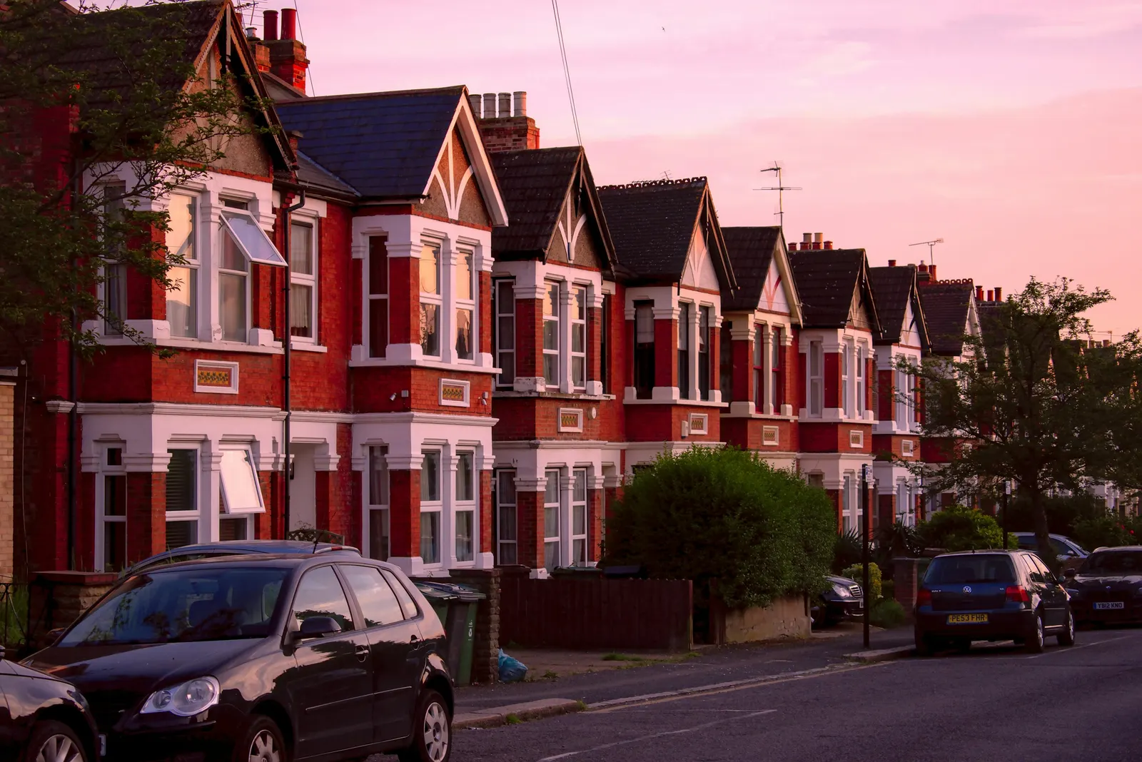
A great deal of Newham's housing is terraced, so work near a shared wall is common. The Party Wall etc. Act 1996 is national law and runs alongside planning. Our party wall services guide explains the notices and what a neighbour can do after receiving one.
On construction, Newham's list asks for a Construction Logistics Plan where significant construction forms part of the proposal. It says this is predominately major development, but smaller schemes on a case-by-case basis where construction impacts are significant. For most household projects that means no separate plan, though a tight street may change that.
Other reports Newham's list can ask for
A planning statement is needed for all full, outline, reserved matters and change of use applications, and for minor developments it can be covered in the Design and Access Statement. The Design and Access Statement itself is required for applications in a designated area that create one or more dwellings or 100 sq m or more of non-residential floor space. Our design and access statement page covers it.
Newham also asks applicants to complete a submission checklist saying which document from the list is where in the application. That checklist is a small task that saves the validation team a search, and we complete it with the set.
Sources
Every figure on this page, where it comes from and a link to the original.
| Figure | Source | Link |
|---|---|---|
| December 2024 | Newham Council, Planning Application Requirements: What to submit with your planning application, cover dated December 2024 | www.newham.gov.uk |
| 10 December 2018 | Newham Council, Local Plan Adoption Statement: the London Borough of Newham (source wording: "formally adopted the Local Plan 2018, at Full Council on 10th December 2018"); the planning policy page also refers to a Local Plan Review | www.newham.gov.uk |
| nine such areas | Newham Local Plan 2018, Policy SP5: Table 1 lists Areas of Townscape Value ATV1 to ATV9 (Wanstead Flats, Sebert Road, Manor Park, Forest Gate, All Saints Church, Cheltenham Gardens, Canning Town, Winsor Terrace, Bargehouse Road); proposals (source wording: "should refer to and draw on the borough's Character Study (which includes details of Areas of Townscape Value)") | www.newham.gov.uk |
| presumption against impermeable hard-standing on domestic gardens | Newham Local Plan 2018, Policy SC3 Flood Risk and Drainage, strategic principles 1d: (source wording: "There is a presumption against impermeable hard-standing on domestic gardens and public open space."); 3b requires finished floor levels for more vulnerable uses (source wording: "no less than 300mm above the 1% annual probability flood level + allowance for climate change") | www.newham.gov.uk |
| Do not scale | Newham Planning Application Requirements December 2024, Plans: drawings (source wording: "should be PDF not jpeg, TIF, doc, xls, or CAD files") and drawings annotated as not to be scaled (source wording: "Do not scale") will not be accepted | www.newham.gov.uk |
| 1:1250 or 1:2500 | Newham Planning Application Requirements December 2024, Plans: location plan at 1:1250 or 1:2500 unless otherwise agreed; block plan 1:100/200/500; floor plans and elevations 1:50/100; roof plans 1:100 | www.newham.gov.uk |
| Critical Drainage Area | Newham Planning Application Requirements December 2024, Flood Risk Assessment: required for all development in Flood Zone 2 or 3 (source wording: "unless the development is a householder") and for (source wording: "Development in Flood Zone 1 which is also within a Critical Drainage Area") | www.newham.gov.uk |
| nine conservation areas | Newham Council, Conservation areas and listed buildings in Newham: (source wording: "There are nine conservation areas in Newham"), and in a conservation area you may need planning permission for work such as dormer windows, changing windows or doors | www.newham.gov.uk |
| Durham Road, Romford Road and Woodgrange Road | Newham Council, Article 4 Directions: a direction for homes in multiple occupation; Article 4 Directions also apply in the Durham Road, Romford Road and Woodgrange Road conservation areas | www.newham.gov.uk |
| BR209 (2022) | Newham Planning Application Requirements December 2024, Daylight / Sunlight Assessment: guidance is the BRE's Site layout planning for daylight and sunlight (source wording: "BR209 2022"), with Vertical Sky Component and Average Daylight Factor calculations where relevant | www.newham.gov.uk |
Every report on this page, with its fixed fee
| Report | Fixed fee | What it is |
|---|---|---|
| Planning constraints report | £19 | Flood zone, conservation area, listing and Article 4 checked for your address Written up on fixedfeeplans.co.uk. |
| Flood risk assessments | £395 | For Flood Zone 2 or 3, and Flood Zone 1 sites in a Critical Drainage Area Written up on fixedfeeplans.co.uk. |
| SuDS drainage statements | £315 | The surface water strategy Newham's Policy SC3 asks for in Critical Drainage Areas Written up on fixedfeeplans.co.uk. |
| Heritage statements | £595 | For listed buildings, conservation areas and Areas of Townscape Value Written up on fixedfeeplans.co.uk. |
| Daylight and sunlight reports | £895 | The BRE assessment when a scheme may reduce light to adjoining properties Written up on www.propertyarchitecture.co.uk. |
| Design and access statements | £245 | Needed for new homes in a designated area and some larger schemes Written up on fixedfeeplans.co.uk. |
| HMO licence plans | £495 | Floor plans for a licence application, and Newham has an HMO Article 4 Direction Written up on fixedfeeplans.co.uk. |
| Building regulations reports | £225 | Which building regulations report fits your project |
| Party wall services | £45 | Notices under the Party Wall etc. Act 1996 for terraces and semis |
Questions people ask
Does a householder extension in Newham need a flood risk assessment?
Why would Newham refuse drawings that are otherwise correct?
Does my house need a heritage statement?
Can I use my garden for a patio or outbuilding in Newham?
Do I need to tell my neighbour about a loft or rear extension?
Photographs: Chris Whippet (CC BY-SA 2.0); Tim Green from Bradford (CC BY 2.0).

