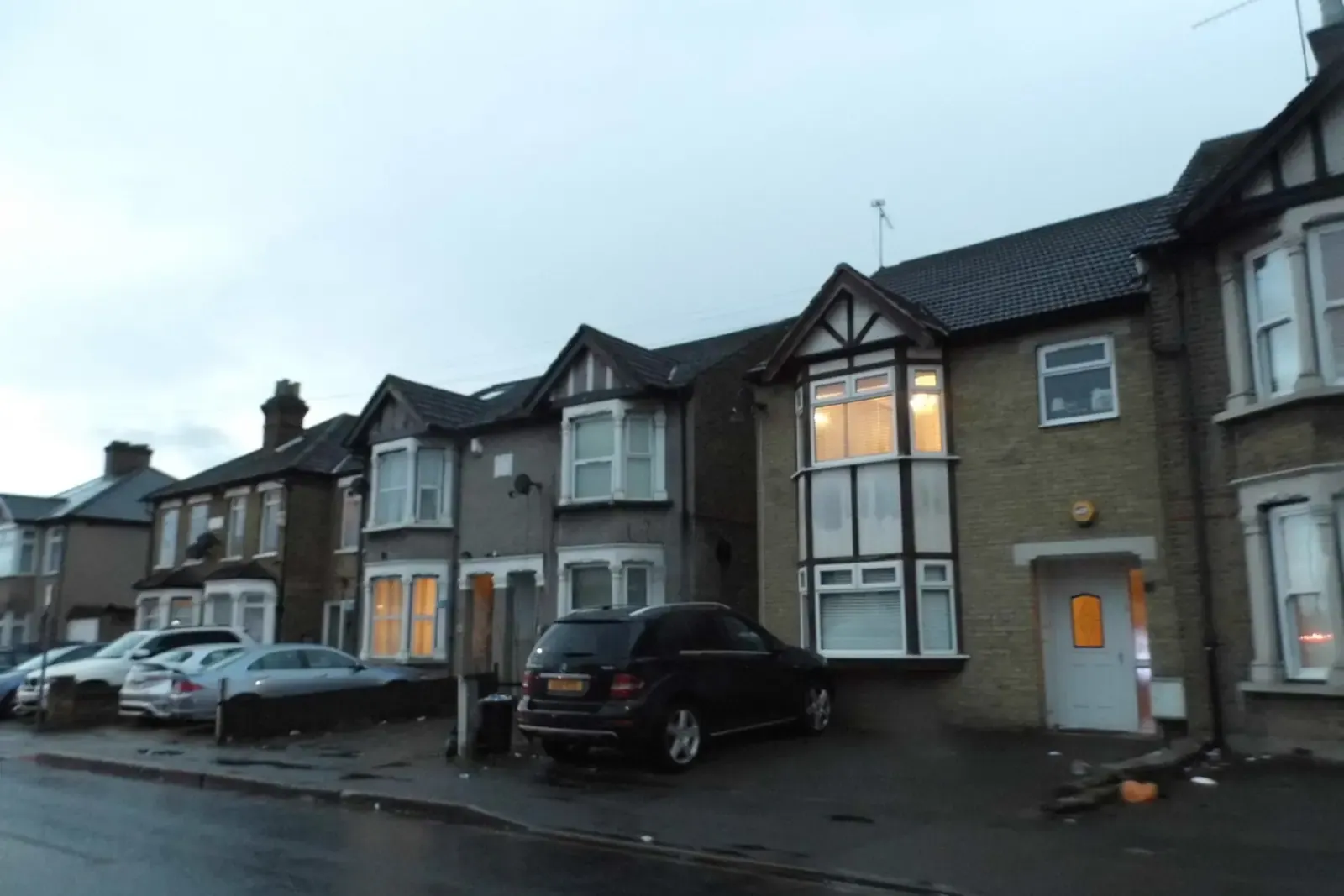
Where to find a floor plan of a Havering house
To find a floor plan of a Havering house, check your purchase papers and sales particulars, then ask Havering council whether an earlier planning application left plans on its file. If nothing usable turns up, DrawingsDirect measures the house and draws one, with fees from £275.
Fixed fee from £275 · all prices
Prefer to talk it through?
Places to look before you pay for a new plan
Start with the paperwork from your purchase and the sales particulars, which often include a layout sketch. Then ask Havering council about the planning history of the address: if the house or an extension was the subject of an earlier application, the drawings submitted with it may be on the council's file. Building control records for past works can hold plans too.
Treat anything you find as a lead. A sketch in sales particulars shows the layout but is not a survey, and a plan from an old application shows what was proposed, which may differ from what was built.
When a found plan is not enough
A new application needs existing plans that match the house today. National guidance on gov.uk says plans must be drawn to an identified scale and show north, which a loose sketch does not do.
That is where a measured building survey comes in. We measure every room on site and draw the plan from the results. Our pricing page lists the fixed fees for the survey and for the drawings that follow.
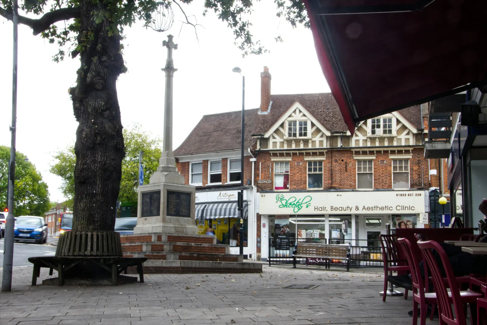
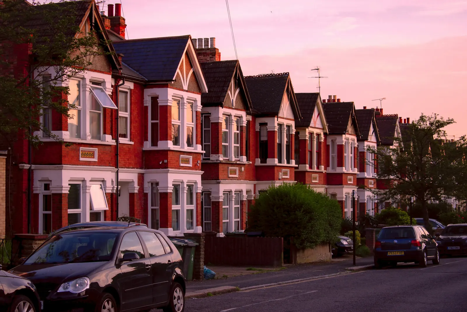
Our analysis of the MHCLG Planning Data Platform conservation-area dataset (snapshot retrieved 14 August 2026) finds 11 conservation-area entries for Havering on the national register.
How Havering council handles householder applications
Our analysis of MHCLG planning application statistics, table PS2, shows Havering council made 985 householder decisions, including prior approvals, over the four quarters from 2025 Q3 to 2026 Q2. It granted 846 of them. Leaving out prior approvals, 98% of its householder decisions were made within 8 weeks.
Our analysis of table PS1 shows Havering council decided 1,102 certificates of lawful development over the eight quarters from 2024 Q3 to 2026 Q2 and determined 109 larger home extension prior approvals. Each of these routes needs accurate existing plans.
Conservation areas in Havering
Our analysis of the MHCLG Planning Data Platform conservation-area dataset (snapshot retrieved 14 August 2026) finds 11 conservation-area entries for Havering on the national register. The designation dates that the register records run from 1968 to 2010. Look at Havering's conservation area map, or ask the council, to see whether your road sits inside one before you plan external changes.

Next step for a Havering home
Our measured building survey in Havering gives you an accurate plan to work from, and our planning permission service for Havering takes the project further. The floor plans service explains how both fit together.
Sources
Every figure on this page, where it comes from and a link to the original.
| Figure | Source | Link |
|---|---|---|
| £275 | DrawingsDirect starting fixed fee for floor plans measured on site | drawingsdirect.co.uk |
| 985 | Our analysis of MHCLG planning application statistics, table PS2 (district open data table) (released 24 Sep 2026, quarters to 2026 Q2) | www.gov.uk |
| 846 | Our analysis of MHCLG planning application statistics, table PS2 (district open data table) (released 24 Sep 2026, quarters to 2026 Q2) | www.gov.uk |
| 98% | Our analysis of MHCLG planning application statistics, table PS2 (district open data table) (released 24 Sep 2026, quarters to 2026 Q2) | www.gov.uk |
| 1,102 | Our analysis of MHCLG planning application statistics, table PS1 (district open data table) (released 24 Sep 2026, quarters to 2026 Q2) | www.gov.uk |
| 109 | Our analysis of MHCLG planning application statistics, table PS1 (district open data table) (released 24 Sep 2026, quarters to 2026 Q2) | www.gov.uk |
| 11 | Our analysis of MHCLG Planning Data Platform conservation-area and article-4-direction datasets (bulk snapshot retrieved 14 Aug 2026) | www.planning.data.gov.uk |
| 1968 | Our analysis of MHCLG Planning Data Platform conservation-area and article-4-direction datasets (bulk snapshot retrieved 14 Aug 2026) | www.planning.data.gov.uk |
| 2010 | Our analysis of MHCLG Planning Data Platform conservation-area and article-4-direction datasets (bulk snapshot retrieved 14 Aug 2026) | www.planning.data.gov.uk |
| identified scale | Planning practice guidance, Making an application (paragraph 023): any plans or drawings must be drawn to an identified scale and, in the case of plans, must show the direction of north | www.gov.uk |
Questions people ask
Where can I find a floor plan of my house?
Can I use an estate agent's floor plan for a planning application?
Photographs: David Howard (CC BY-SA 2.0).
