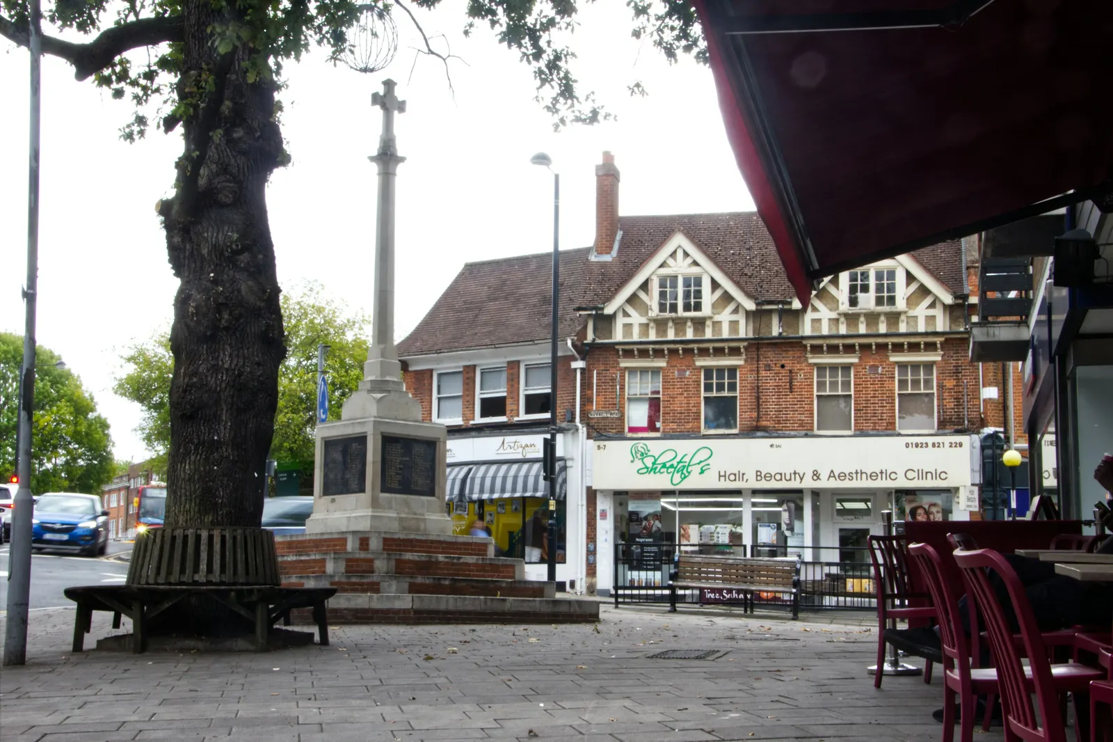
Measured building surveyors in Havering-atte-Bower and across Havering
DrawingsDirect measures homes in Havering-atte-Bower, Romford and Hornchurch from £200 and returns plans drawn to scale. Havering Council decided 985 householder applications in the year to June 2026, prior approvals included, and a survey gives you plans to start from.
Fixed fee from £200 · all prices
Prefer to talk it through?
Surveys from Havering-atte-Bower to Upminster
Our surveyor measures walls, rooms, openings and levels on site, then we draw the house to scale. Every proposed drawing is made over the existing plans, so the survey comes before an extension, loft or refurbishment design.
Survey fees begin at £200. What a survey records, and what it does not, is set out on the measured building survey page.
Havering Council's decisions
In the four quarters to June 2026, Havering Council issued 985 householder decisions, prior approvals counted (our analysis of MHCLG planning application statistics, table PS2).
Of the householder decisions that were not prior approvals, 98% were made within eight weeks over the same four quarters (our analysis of the same table).
In the four quarters to June 2026, Havering Council issued 985 householder decisions, prior approvals counted (our analysis of MHCLG planning application statistics, table PS2).
11 Havering records on the national register
Havering is listed with 11 conservation-area entries on the national register held by the planning data platform (our analysis of MHCLG Planning Data Platform conservation-area datasets, retrieved 14 August 2026). That is council-wide and the register can be incomplete, so check your own address on Havering's conservation area map.
Town-centre households can read the Romford survey page and the Hornchurch survey page.
Plans drawn to a stated scale
GOV.UK planning practice guidance on making an application says plans and drawings must be drawn to an identified scale and must show north. Location plans, it says, are typically drawn at 1:1250 or 1:2500.
Our planning drawings are built from the survey, so scale and north are right from the first sheet.

Sources
Every figure on this page, where it comes from and a link to the original.
| Figure | Source | Link |
|---|---|---|
| 985 | Our analysis of MHCLG planning application statistics, table PS2 (district open data table) (released 24 Sep 2026, quarters to 2026 Q2) | www.gov.uk |
| 98% | Our analysis of MHCLG planning application statistics, table PS2 (district open data table) (released 24 Sep 2026, quarters to 2026 Q2) | www.gov.uk |
| 11 | Our analysis of MHCLG Planning Data Platform conservation-area and article-4-direction datasets (bulk snapshot retrieved 14 Aug 2026) | www.planning.data.gov.uk |
| identified scale | Planning practice guidance, Making an application, paragraph 023 (ID 14-023-20140306): any plans or drawings must be drawn to an identified scale and plans must show the direction of north | www.gov.uk |
| 1:1250 | Planning practice guidance, Making an application, paragraph 024 (ID 14-024-20140306): location plan scale should typically be 1:1250 or 1:2500 | www.gov.uk |
| £200 | DrawingsDirect starting fixed fee for a measured building survey, from the published price list | drawingsdirect.co.uk |
Questions people ask
Do you survey in Hornchurch and Romford as well?
Is a homebuyer's survey the same thing?
Photographs: David Howard (CC BY-SA 2.0).
