Floor Plans in Emerson Park RM11
Fixed-fee, MCIAT-chartered floor plans for Emerson Park (RM11) homeowners — London Borough of Havering validation and local constraints handled from the start.
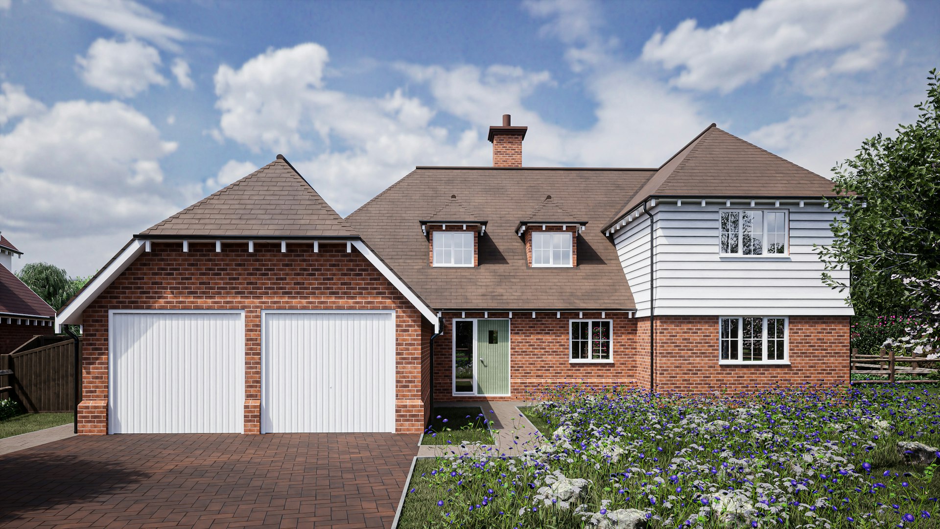
Emerson Park in RM11 is Havering's most affluent suburb, characterised by large detached interwar houses on wide, tree-lined plots. Work here skews toward ambitious schemes: two-storey and wrap-around extensions, outbuildings, annexes and occasionally full replacement dwellings where the plot supports it.
The spacious, green character means London Borough of Havering scrutinises massing, spacing between houses and tree protection closely, and the Langtons and St Andrew's conservation areas nearby reinforce that heritage backdrop, so we design larger schemes to sit convincingly within the established grain.
Planning in Emerson Park (RM11): what to know before you apply
No published householder Article 4 direction applies in Emerson Park; the practical constraints are protected trees, generous building lines and the low-density character, with the Langtons and St Andrew's Hornchurch conservation areas nearby. Larger plots often support extensions beyond permitted development via full applications.
Typical Emerson Park housing stock
Emerson Park is a leafy, affluent interwar suburb of large detached houses on wide, deep plots between Hornchurch and Upminster. Generous frontages and spacious gardens make it a hotspot for substantial two-storey and wrap-around extensions, garages, outbuildings and full replacement dwellings.
Streets we regularly draw for in Emerson Park
Hazel Rise · Great Gardens Road · Warrington Gardens · Maybrick Road
What RM11 is actually built of
Measured from 318 classified residential buildings in RM11, not from a description of the area.
Emerson Park RM11 housing mix
Residential building form across the RM11 postcode district, from 318 classified buildings.
| Attached on more than one side | 20% |
|---|---|
| Attached on one side | 57% |
| Detached | 23% |
| Median building footprint | 75 m² |
| Addresses per buildingAbove about 2 means flats and maisonettes dominate | 1.13 |
| Buildings classified | 318 |
Source: Ordnance Survey National Geographic Database (derived statistics). Contains OS data © Crown copyright and database right 2026. Contains Royal Mail data © Royal Mail copyright and database right 2026. Extracted 2026-08-17.
Floor Plans for Emerson Park (RM11) homes: the package and the process
A floor plan is only as good as the survey behind it. Room dimensions taken from a laser survey rather than an estate agent's sketch, wall thicknesses drawn as they actually are, and structural walls distinguished from partitions — those are what make a plan usable for design work rather than just for marketing.
We issue plans at a stated scale with a scale bar, so they stay measurable when printed or resized, and supply them in formats that work for the next stage: a PDF to share, and CAD where an architect, engineer or kitchen designer needs to draw on top of it.
The plan itself carries the building's history. Chimney breasts, blocked openings, changes in floor level and an outrigger that has been extended more than once all show up in a measured plan, and they are precisely the things a sketched plan leaves out.
What are floor plans used for?
Floor plans serve several distinct purposes in London property: estate agents use them to market a sale or letting alongside photographs, giving buyers and tenants an accurate sense of layout and scale that a floor plan on its own can convey better than photos; solicitors and lenders often require a lease plan showing the demise of a flat within a building, particularly for leasehold sales or re-mortgages; landlords use them to document a property's layout for reference, insurance or portfolio management; and homeowners use them simply to have an accurate record of their existing layout, whether for their own reference or as the first step before considering any building work.
How accurate are laser-measured floor plans?
We measure every floor plan on site using a laser distance meter rather than a tape measure or estimation from photographs, which keeps room dimensions, wall thicknesses and door and window positions accurate to within a few millimetres. This matters more than it might seem: an estate agent's marketing plan that overstates a room's size can mislead a buyer and cause problems at survey stage, while a lease plan used for legal purposes needs to accurately reflect what a leaseholder actually owns. A laser-measured plan also means that if you later want to use it as the existing-layout drawing for a planning application, it is already accurate enough to build proposed drawings on top of, rather than needing to be re-measured.
How much do floor plans cost in London?
A single floor-plan set starts from £450, which covers a laser-measured site visit and scaled, dimensioned drawings of each floor of the property. The exact fee depends on the number of floors, the overall size of the property, and whether you need elevations or a site plan in addition to the floor plans themselves — for example, for a lease plan or as the base for a future planning application. This is a fixed fee agreed upfront, with no hourly billing.
| Floor plans | Full planning drawing set | |
|---|---|---|
| Purpose | Record of existing layout | Existing layout plus a designed proposal |
| Includes a proposed design | No | Yes |
| Submitted to the council | No | Yes, via the Planning Portal |
| Typical turnaround | A few days | Around 7 days from survey |
| Fee guide | From £450 | From £1,600 |

Floor Plans in Emerson Park RM11 — FAQs
How much do floor plans cost in London?+
How long does it take to get floor plans?+
Can floor plans be used for a lease or mortgage application?+
Can I reuse my floor plans if I later want to extend or convert my loft?+
Do you provide floor plans for estate agents?+
Do I need planning permission for an extension in Havering?+
How does green-belt land affect my Havering project?+
Can I build a bigger extension because Havering plots are larger?+
How long does Havering Council take to decide?+
How much do planning drawings cost in Havering?+
Get your free Emerson Park planning assessment
Tell us your Emerson Park (RM11) address and ambition — we'll confirm feasibility, local constraints and a fixed fee within one working day.