Planning Drawings in Southfields SW18
Fixed-fee, MCIAT-chartered planning drawings for Southfields (SW18) homeowners — London Borough of Wandsworth validation and local constraints handled from the start.
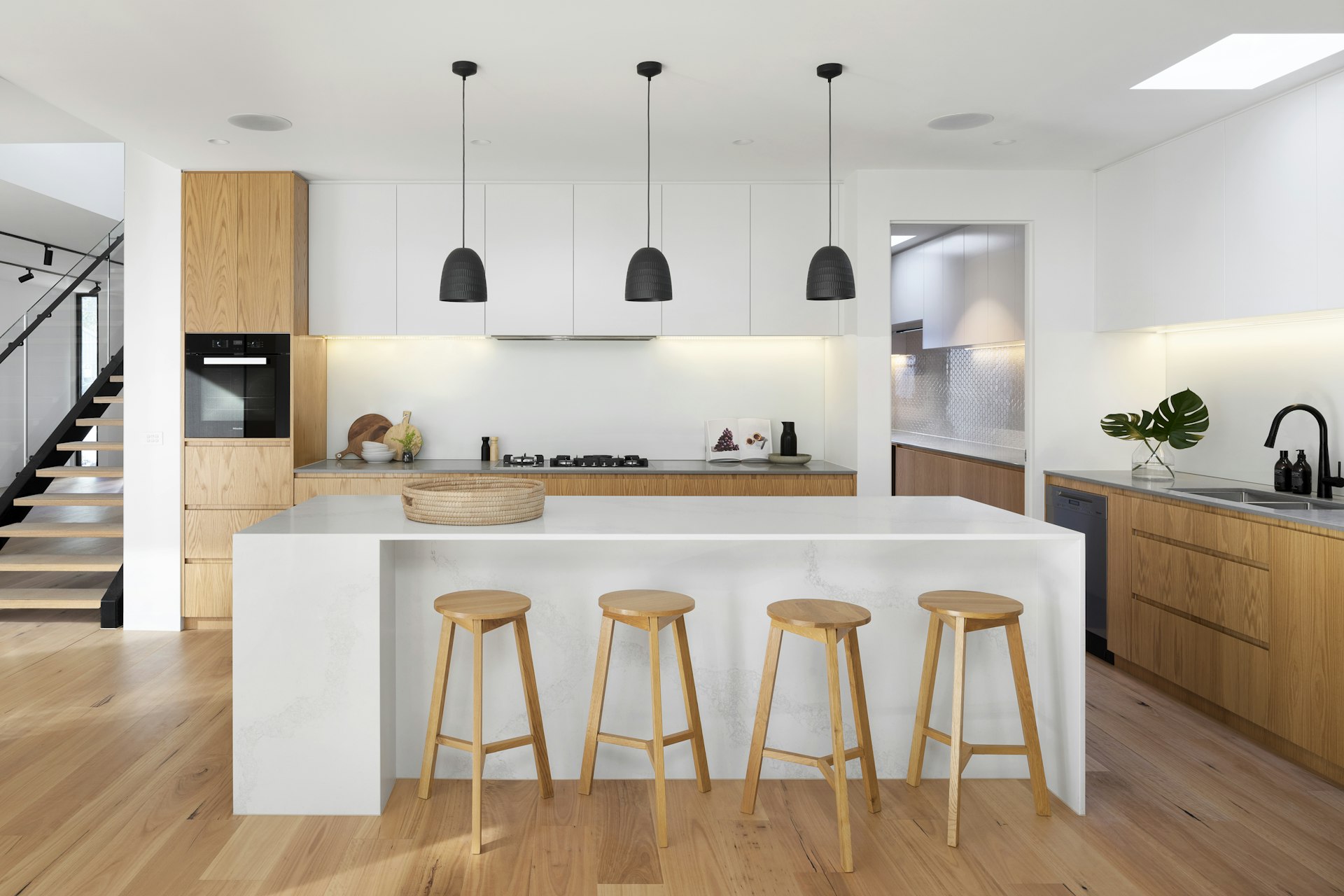
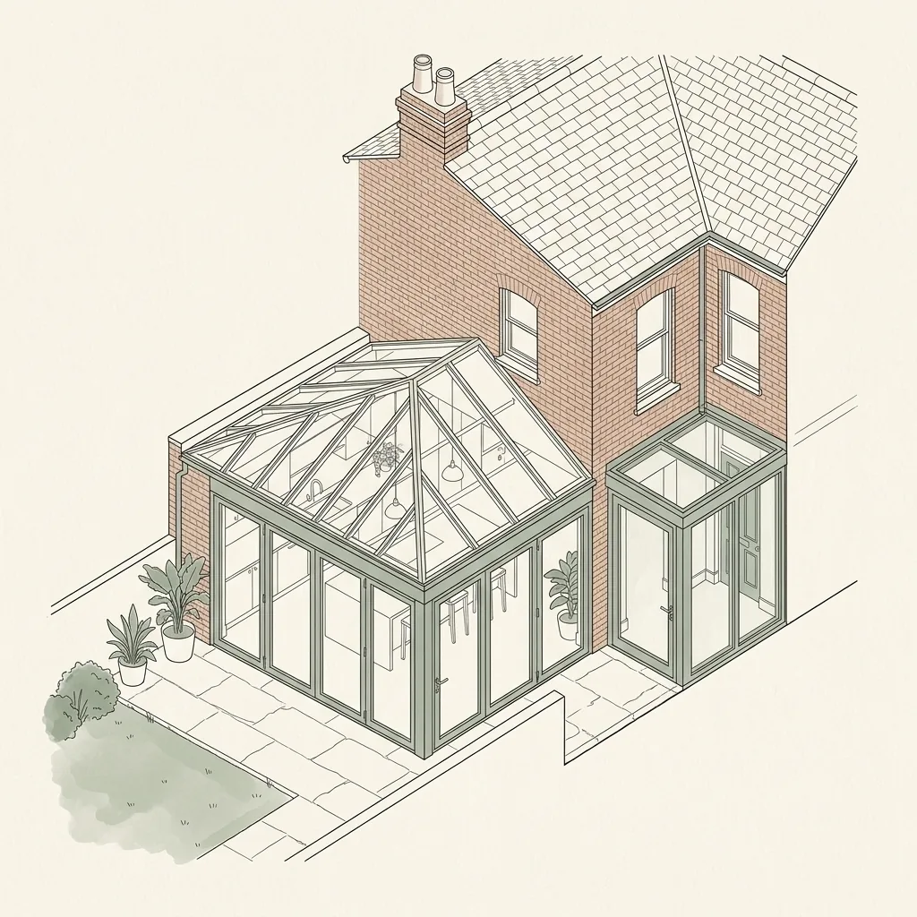
Southfields (SW18) is the celebrated 'Grid' of late-Victorian terraces packed between Southfields station and Wimbledon Park, a stone's throw from the All England Club. The typical projects are glazed side-return kitchen extensions, full-width rear extensions and L-shaped loft conversions with rear dormers — all within Wandsworth's well-trodden householder framework.
Because much of the Grid lies within conservation areas such as Rusholme Road, Sutherland Grove and Wimbledon Park Road, front elevations, roof forms and materials are closely controlled and permitted-development rights are often reduced. We produce drawings that keep the terrace rhythm, front bays and valley-roof lines intact to the standard Wandsworth conservation officers expect, and coordinate party-wall matters across the shared boundaries.
Planning in Southfields (SW18): what to know before you apply
No published householder Article 4 direction in Southfields, but the numerous conservation areas across the Grid remove some permitted-development rights and tighten control on roof alterations, front changes and materials. Rear extension depth on the long narrow plots is assessed for daylight, outlook and the neighbouring building line.
Typical Southfields housing stock
Southfields is defined by 'The Grid' — dense, uniform two- and three-storey late-Victorian terraces with bay fronts, valley roofs and long narrow gardens, many split into flats. The regularity of the terraces makes rear side-returns, full-width rear extensions and roof conversions the staple projects.
Streets we regularly draw for in Southfields
Keswick Road · Merton Road · Southfields Road · Haldon Road
What SW18 is actually built of
Measured from 440 classified residential buildings in SW18, not from a description of the area.
Southfields SW18 housing mix
Residential building form across the SW18 postcode district, from 440 classified buildings.
| Attached on more than one side | 70% |
|---|---|
| Attached on one side | 25% |
| Detached | 5% |
| Median building footprint | 71 m² |
| Addresses per buildingAbove about 2 means flats and maisonettes dominate | 1.99 |
| Buildings classified | 440 |
Source: Ordnance Survey National Geographic Database (derived statistics). Contains OS data © Crown copyright and database right 2026. Contains Royal Mail data © Royal Mail copyright and database right 2026. Extracted 2026-09-22.
Planning Drawings for Southfields (SW18) homes: the package and the process
A planning set is judged as a set, not as individual sheets. Every existing drawing needs its proposed counterpart at the same scale and orientation so the officer can read the change at a glance, each sheet needs its own number, title, scale bar and north point, and the whole package needs to survive being printed at A3 without a dimension becoming illegible.
We draw to the conventions validation teams expect: plans and elevations at 1:100 or 1:50, a location plan at 1:1250 with the site edged red, a block plan at 1:500, and sections cut where the change in level or roof form actually happens rather than where they are easiest to draw.
The drawing list itself changes with the building. A detached house needs four elevations; a mid-terrace needs two plus a section through the party walls to show what is not visible from outside. Getting that list right at the start is what stops a validation officer asking for a sheet three weeks in.
What is included in a planning drawing set?
A council will only validate an application that contains the right drawings at the right scale. Our standard planning set covers everything a London validation team expects.
- Site location plan (1:1250) and block plan (1:500)
- Existing floor plans, elevations and sections
- Proposed floor plans, elevations and sections
- Roof plans where relevant, with heights and materials annotated
- A design and access or heritage statement where the borough requires one
How are planning drawings different from building regulations drawings?
Planning drawings show what the building will look like and how it sits in its context. Building regulations drawings show how it will be built safely — structure, insulation, fire escape and drainage. Most projects need both. Our all-inclusive package covers the two together, with structural calculations from a named, insured engineer drawn onto the same set.
How quickly can you produce planning drawings in London?
After a laser survey, a standard householder set is typically ready within 7 days. We review every drawing against your borough's validation checklist before it reaches a planner's desk, so it arrives validated rather than bouncing back on a technicality.
| Drawing | Typical scale | What it shows |
|---|---|---|
| Site location plan | 1:1250 | The property in its street context, site edged red |
| Block plan | 1:500 | The building's footprint and position in the plot |
| Floor plans (existing & proposed) | 1:100 / 1:50 | Room layout, walls, openings and the proposed changes |
| Elevations (existing & proposed) | 1:100 / 1:50 | Each face of the building and how it changes |
| Sections | 1:100 / 1:50 | A cut through showing heights, levels and roof form |

Planning Drawings in Southfields SW18 — FAQs
What scale should London planning drawings be?+
Do I need an architect to produce planning drawings?+
How many revisions are included in the fee?+
Can you draw from my existing plans?+
Do planning drawings guarantee approval?+
Do I need planning permission for a side-return extension in Wandsworth?+
What does Wandsworth's basement Article 4 direction mean for me?+
How long will Wandsworth take to decide my application?+
Can you design an extension for a converted flat near the commons?+
How much do Wandsworth planning drawings cost?+
Get your free Southfields planning assessment
Tell us your Southfields (SW18) address and ambition — we'll confirm feasibility, local constraints and a fixed fee within one working day.