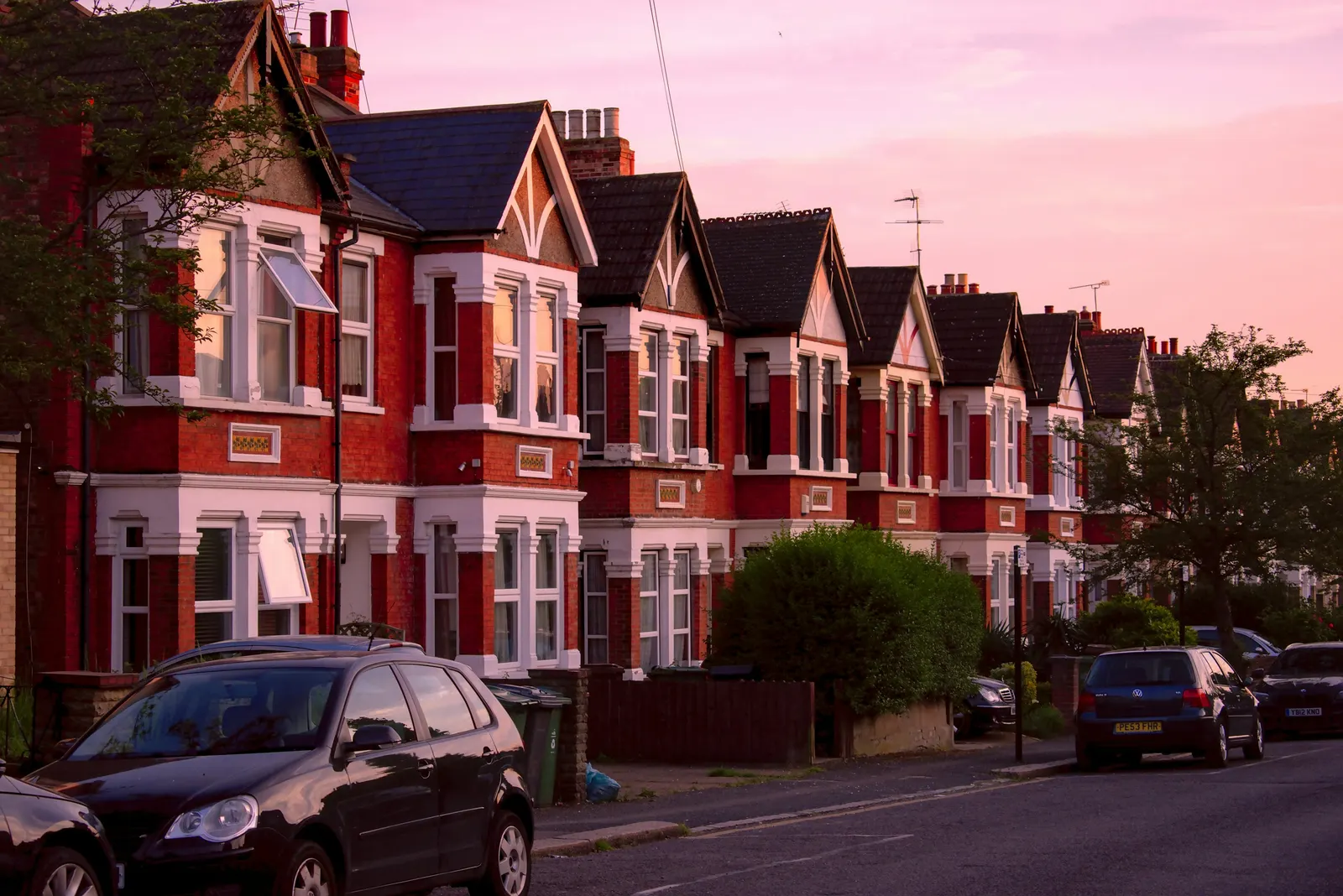
Measured building survey in Worcester Park (KT4)
A measured building survey in Worcester Park gives you accurate, scaled drawings of your home as it stands today, and the base that architectural drawings for an extension, loft or conversion are drawn on. Our fixed fee starts from £200 with no VAT to add for a laser-measured survey with existing plans, and the price is published on our pricing page.
Fixed fee from £200 · all prices
Prefer to talk it through?
What the survey gives you before any design starts
A measured building survey records what is actually there: room sizes, wall thicknesses, window and door positions, floor-to-ceiling heights, roof pitch and the outline of the building on its plot. We measure with a laser and turn the results into existing floor plans, elevations and sections.
Everything you design afterwards is drawn on top of that record. If the base is a few centimetres out, every proposed wall, beam and opening inherits the error, and it tends to surface at the worst moment, when a builder is on site. Measuring first costs less than correcting later.
Why a Worcester Park homeowner books one
Most people searching for a measured building survey in KT4 are about to apply for something: a rear extension, a loft conversion, a garage conversion or a change to the internal layout. Others are buying and want the true floor area, or have lost the original plans and need new ones.
The survey is the first drawing stage of each of those jobs. If you already know you want planning or Building Regulations drawings, tell us when you enquire. The measuring visit is the same, and the existing plans carry straight into the proposal set.
In the latest four quarters of government statistics, Kingston decided 742 householder applications, and 83% of those decisions were grants.
What the fixed fee covers
Our starting fee is £200 with no VAT to add for a laser-measured building survey with existing plans, taken from our own published price list. You can see the price before you get in touch.
The fee is for the survey and the drawings produced from it. Any council application fee is separate from our fee.
How the drawings need to be set out for an application
National planning practice guidance says plans and drawings must be drawn to an identified scale, and that plans must show the direction of north. A location plan should typically be at a scale of 1:1250 on the government's own guidance wording.
We set every existing drawing out to those basics from the start: stated scale, north point, labelled rooms and levels. That means the survey can be reused as the existing drawings in a planning submission without being redrawn.

What the Kingston figures say about householder applications
Worcester Park sits on the Sutton and Kingston boundary, so check which council your own address falls under before you apply. Our sourced figures for this page are Kingston's, from government planning statistics and the Planning Inspectorate appeals database.
In the latest four quarters of government statistics, Kingston decided 742 householder applications, and 83% of those decisions were grants. Of the householder applications decided excluding prior approvals, 93% were decided within eight weeks.
On appeal, the Planning Inspectorate database records 169 householder-development appeals decided for Kingston, and 44% of them were allowed. These are published statistics about past decisions. They do not predict what will happen to your application, and we do not use them to promise an outcome.
Conservation areas, Article 4 directions and lawful development certificates
Kingston has 28 live conservation-area entries on the government's Planning Data Platform. Whether your street is inside one changes what you can build without applying, so a survey is often the first step before we check your site against the register.
For the KT4 postcode area, the Article 4 direction register returns 2 live rows near the area centre. The register is incomplete, so treat that as a lower bound and not as proof that your road is free of one.
Kingston decided 593 certificates of lawful development across the last eight quarters of statistics. A certificate is a way to confirm that existing or proposed work is lawful, and it needs accurate existing drawings. A measured survey provides them.
From survey to the drawings you actually need
Once the existing plans are done, the next stage depends on your project. A simple extension may need planning drawings and then Building Regulations drawings; a lawful development certificate needs a tighter set. The survey can stand alone if all you need is the existing plans.
To start, send us your address, the type of project and, if you have them, any old plans or photographs. We will confirm the fee and arrange the measuring visit.
Sources
Every figure on this page, where it comes from and a link to the original.
| Figure | Source | Link |
|---|---|---|
| £200 | DrawingsDirect starting fixed fee for a laser-measured building survey with existing plans, with no VAT to add, from the published price list | drawingsdirect.co.uk |
| identified scale | Planning practice guidance, Making an application, paragraph 023: plans and drawings must be drawn to an identified scale and plans must show the direction of north (source wording: "must be drawn to an identified scale") | www.gov.uk |
| 1:1250 | Planning practice guidance, Making an application, paragraph 024: a location plan should typically be at a scale of 1:1250 or 1:2500 (source wording: "The scale should typically be 1:1250 or 1:2500") | www.gov.uk |
| 742 | Our analysis of MHCLG planning application statistics, table PS2 (district open data table) (released 24 Sep 2026, quarters to 2026 Q2) | www.gov.uk |
| 83% | Our analysis of MHCLG planning application statistics, table PS2 (district open data table) (released 24 Sep 2026, quarters to 2026 Q2) | www.gov.uk |
| 93% | Our analysis of MHCLG planning application statistics, table PS2 (district open data table) (released 24 Sep 2026, quarters to 2026 Q2) | www.gov.uk |
| 169 | Our analysis of Planning Inspectorate Casework Database (released 1 Oct 2026 (Casework Database 2609)) | www.gov.uk |
| 44% | Our analysis of Planning Inspectorate Casework Database (released 1 Oct 2026 (Casework Database 2609)) | www.gov.uk |
| 28 | Our analysis of MHCLG Planning Data Platform conservation-area and article-4-direction datasets (bulk snapshot retrieved 14 Aug 2026) | www.planning.data.gov.uk |
| 593 | Our analysis of MHCLG planning application statistics, table PS1 (district open data table) (released 24 Sep 2026, quarters to 2026 Q2) | www.gov.uk |
| 2 | Our analysis of MHCLG Planning Data Platform article-4-direction-area dataset (entity API, retrieved 15 Oct 2026) | www.planning.data.gov.uk |