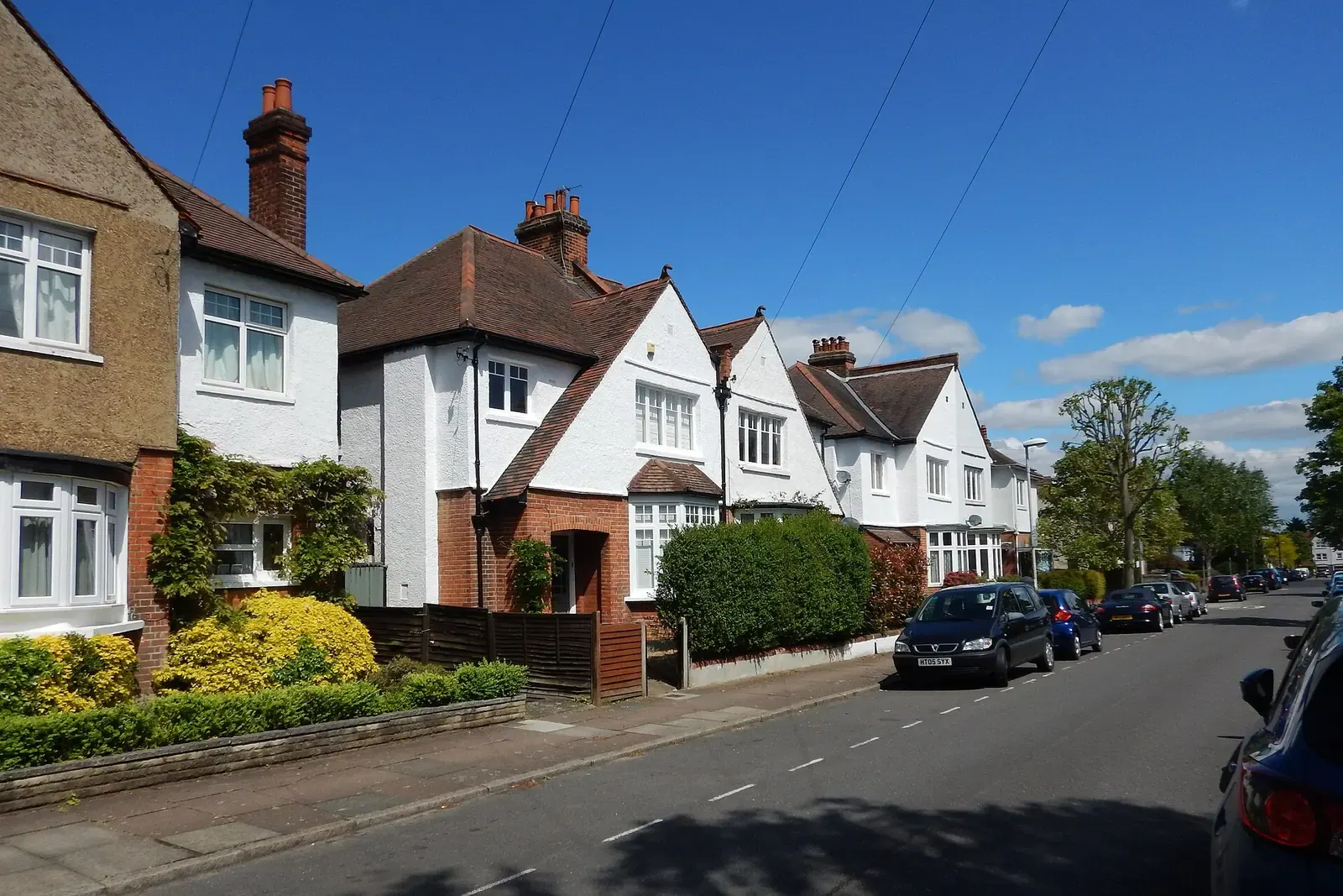
Measured building survey in Kingston
A measured building survey in Kingston costs from £200 and gives you laser-measured plans of your home. Kingston Council made 742 householder decisions in the four quarters to June 2026. With prior approvals excluded, 93% of householder cases were decided within eight weeks. Commission the survey before any design work.
Fixed fee from £200 · all prices
Prefer to talk it through?
What the visit covers
We measure room sizes, wall thicknesses and openings throughout the property and draw them up as plans. The output is a dimensional record, so it will not say whether the roof or damp-proofing is sound.
Our measured building survey service page has the detail, and the pricing page shows fixed fees for the next stages.
Kingston's planning workload
Our analysis of MHCLG planning application statistics, table PS2 (released 24 September 2026), counts 742 householder decisions across the four quarters to June 2026, prior approvals included.
It also shows 93% of householder decisions made within eight weeks when prior approvals are excluded. Speed is the council's side of the process. Your side is a valid, accurate application, which starts with the survey.
Our analysis of MHCLG planning application statistics, table PS2 (released 24 September 2026), counts 742 householder decisions across the four quarters to June 2026, prior approvals included.
Conservation areas in the borough
There are 28 Kingston entries on the national conservation-area register (our analysis of MHCLG Planning Data Platform datasets, bulk snapshot retrieved 14 August 2026). Use the council's own conservation area map to see whether your road is among them before agreeing a design.
Where an extension is likely, house extension drawings are the usual next step.
What a council will check on your plans
Planning practice guidance states that drawings must have an identified scale and plans must show north. A location plan is typically 1:1250 or 1:2500.
For layouts alone, without proposals, try our floor plans service.

Sources
Every figure on this page, where it comes from and a link to the original.
| Figure | Source | Link |
|---|---|---|
| 742 | Our analysis of MHCLG planning application statistics, table PS2 (district open data table) (released 24 Sep 2026, quarters to 2026 Q2) | www.gov.uk |
| 93% | Our analysis of MHCLG planning application statistics, table PS2 (district open data table) (released 24 Sep 2026, quarters to 2026 Q2) | www.gov.uk |
| 28 | Our analysis of MHCLG Planning Data Platform conservation-area and article-4-direction datasets (bulk snapshot retrieved 14 Aug 2026) | www.planning.data.gov.uk |
| identified scale | Planning practice guidance, Making an application, paragraph 023 (ID 14-023-20140306): any plans or drawings must be drawn to an identified scale and plans must show the direction of north | www.gov.uk |
| 1:1250 | Planning practice guidance, Making an application, paragraph 024 (ID 14-024-20140306): location plan scale should typically be 1:1250 or 1:2500 | www.gov.uk |
| £200 | DrawingsDirect starting fixed fee for a measured building survey, from the published price list | drawingsdirect.co.uk |
Questions people ask
Do you work in Surbiton, New Malden and the rest of Kingston?
How is a measured survey different from a building survey?
Photographs: James Emmans (CC BY-SA 2.0).
