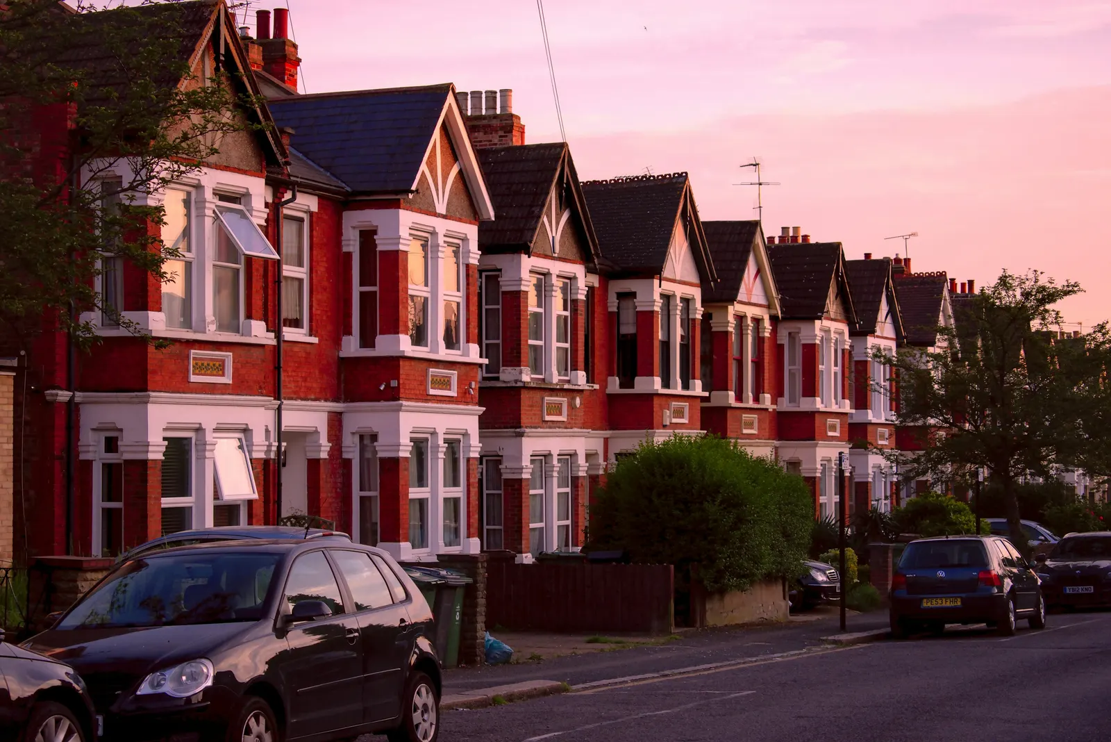
Measured building survey in Wood Green, N22
If you own a home in Wood Green and want to alter or extend it, a measured building survey is the first job: someone measures what stands there and draws it to scale. With DrawingsDirect that survey, drawn up as floor plans, is a fixed fee from £200.
Fixed fee from £200 · all prices
Prefer to talk it through?
What the survey records, and what it leaves out
On site we measure rooms, wall thicknesses, window and door openings, ceiling heights, stairs and the outline of the building. Back at the desk those numbers become floor plans, and where the project needs them, sections and elevations. Every later drawing for the job is traced over that base, so it is worth getting right.
A measured survey does not tell you whether the roof is sound or the damp is rising. That is a condition survey and belongs to a chartered building surveyor. Our guide to what a measured building survey involves draws the line in more detail.
Is this the same as a right to light or topographic survey?
No. A right to light survey assesses how much daylight a neighbouring window receives and how a new building might reduce it. A topographic survey records ground levels, boundaries and features across a site. Both are specialist reports with their own methods.
For a house extension in N22 you will almost always need the measured building survey first. If a neighbour raises daylight or boundary concerns later, you will then have accurate drawings to hand to whichever specialist is appointed. Where a boundary wall is shared, read our note on party wall agreements early.
It made 689 householder decisions in the four quarters to 2026 Q2 (our analysis of MHCLG planning application statistics, table PS2).
Haringey figures worth knowing before you plan
Wood Green is in the London Borough of Haringey, so Haringey Council decides applications there. It made 689 householder decisions in the four quarters to 2026 Q2 (our analysis of MHCLG planning application statistics, table PS2).
Of those, 41% were prior approvals (our analysis of MHCLG planning application statistics, table PS2), the route used for certain permitted development extensions. Our glossary entry on prior approval explains how that route works.
Among householder decisions that were not prior approvals, 90% were made within eight weeks (our analysis of MHCLG planning application statistics, table PS2).
Over the eight quarters to 2026 Q2 Haringey granted or refused 60 larger home extension prior approvals, and 30% of those were granted (our analysis of MHCLG planning application statistics, table PS1). Notifications where the council said prior approval was not required are recorded as a separate outcome, so they sit outside both figures.
Haringey's figures on the national register are 33 conservation-area entries and 25 article 4 direction entries, and the register may be incomplete (our analysis of the MHCLG Planning Data Platform conservation-area and article-4-direction datasets). An article 4 direction removes some permitted development rights, so check your street against the article 4 direction explanation and Haringey's conservation area and article 4 maps before you assume a project needs no application.
Cost and how to start
Measured survey and floor plans start from £200, with the full range on the pricing page. Send us your address and what you want to build through the form on this page.
To see the figures behind the decisions above, the government publishes the planning application statistics that we analysed.

Sources
Every figure on this page, where it comes from and a link to the original.
| Figure | Source | Link |
|---|---|---|
| £200 | DrawingsDirect starting fixed fee for a measured survey or floor plans | drawingsdirect.co.uk |
| 689 | Our analysis of MHCLG planning application statistics, table PS2 (district open data table) (released 24 Sep 2026, quarters to 2026 Q2) | www.gov.uk |
| 41% | Our analysis of MHCLG planning application statistics, table PS2 (district open data table) (released 24 Sep 2026, quarters to 2026 Q2) | www.gov.uk |
| 90% | Our analysis of MHCLG planning application statistics, table PS2 (district open data table) (released 24 Sep 2026, quarters to 2026 Q2) | www.gov.uk |
| 60 | Our analysis of MHCLG planning application statistics, table PS1 (district open data table) (released 24 Sep 2026, quarters to 2026 Q2) | www.gov.uk |
| 30% | Our analysis of MHCLG planning application statistics, table PS1 (district open data table) (released 24 Sep 2026, quarters to 2026 Q2) | www.gov.uk |
| 33 | Our analysis of MHCLG Planning Data Platform conservation-area and article-4-direction datasets (bulk snapshot retrieved 14 Aug 2026) | www.planning.data.gov.uk |
| 25 | Our analysis of MHCLG Planning Data Platform conservation-area and article-4-direction datasets (bulk snapshot retrieved 14 Aug 2026) | www.planning.data.gov.uk |