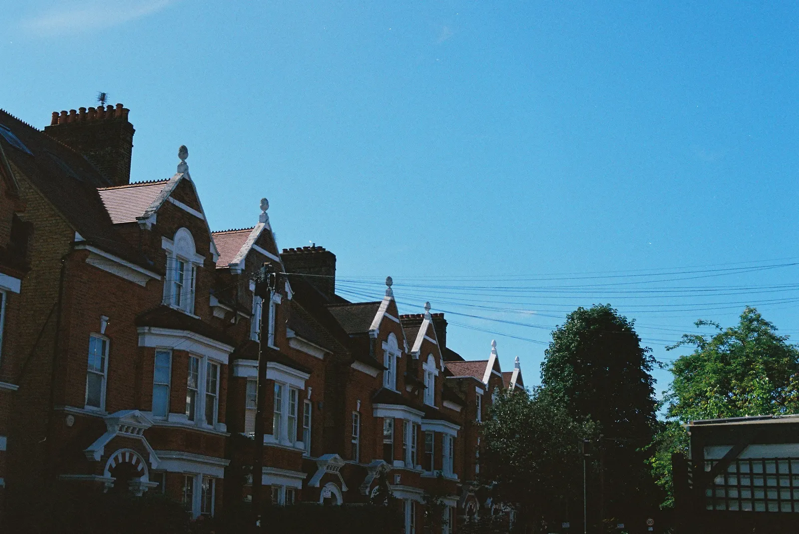
Measured building surveyors in Nunhead
Need accurate plans of a Nunhead house? DrawingsDirect provides laser-measured existing plans in SE15 from £200, drawn to scale for design and applications. They are not a topographic survey, a dilapidation schedule or a condition report. Southwark Council decided 97% of householder applications within eight weeks in the year to June 2026, excluding prior approvals.
Fixed fee from £200 · all prices
Prefer to talk it through?
What a measured survey is, and what it is not
Nunhead searches pull in several survey types. Ours records the dimensions of the building and returns scaled plans. A topographic survey maps land levels. A dilapidation schedule lists defects at the end of a lease. A condition survey judges repair needs. We do none of those three.
The fee from £200 buys the existing plans. Our service page shows how they are used in the design stages.
How quickly Southwark decides
Our analysis of MHCLG planning application statistics (table PS2, released 24 September 2026) counts 558 Southwark householder decisions from July 2025 to June 2026, prior approvals included.
Excluding prior approvals, 97% of them were made within eight weeks (our analysis of the same table). Speed at the council is no help if an application is returned as invalid, so the drawings need accurate dimensions underneath.
Our Southwark measured building survey page covers the whole borough.
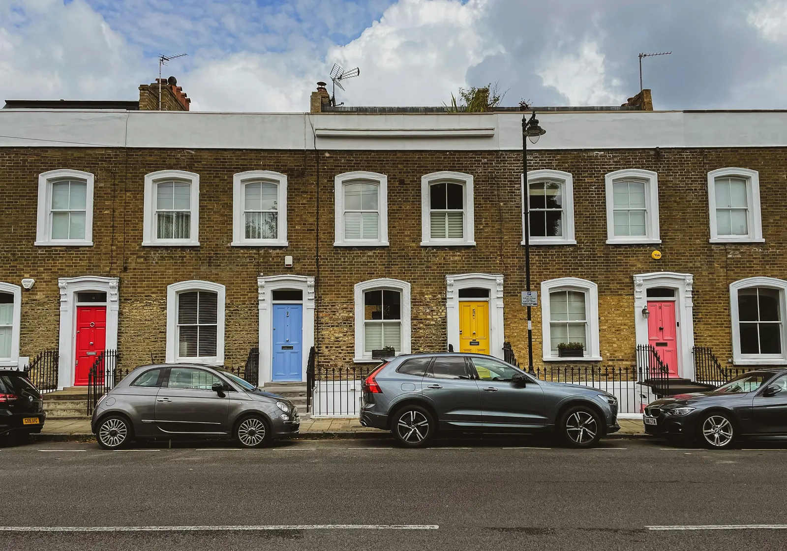
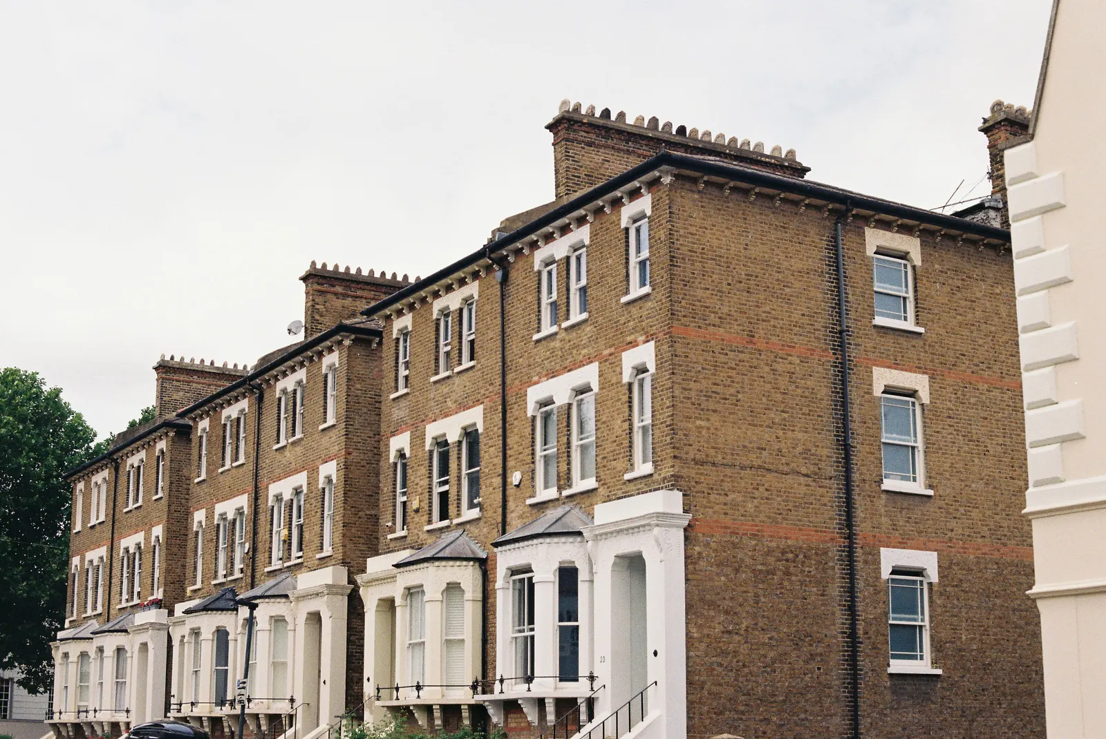
Our analysis of MHCLG planning application statistics (table PS2, released 24 September 2026) counts 558 Southwark householder decisions from July 2025 to June 2026, prior approvals included.
Designations to ask about
For Southwark, the national register lists 56 conservation-area entries (our analysis of MHCLG Planning Data Platform datasets, snapshot retrieved 14 August 2026). The count says nothing about your street in particular; Southwark's conservation area map can tell you. Our guide to extension rules in conservation areas explains why it matters.
Scale and north, stated by government
Two basics come from GOV.UK planning practice guidance: every plan needs an identified scale and a north point, and a location plan is normally at 1:1250 or 1:2500. Measured plans start you off correctly; see pricing for what comes next.

Sources
Every figure on this page, where it comes from and a link to the original.
| Figure | Source | Link |
|---|---|---|
| 558 | Our analysis of MHCLG planning application statistics, table PS2 (district open data table) (released 24 Sep 2026, quarters to 2026 Q2) | www.gov.uk |
| 97% | Our analysis of MHCLG planning application statistics, table PS2 (district open data table) (released 24 Sep 2026, quarters to 2026 Q2) | www.gov.uk |
| 56 | Our analysis of MHCLG Planning Data Platform conservation-area and article-4-direction datasets (bulk snapshot retrieved 14 Aug 2026) | www.planning.data.gov.uk |
| identified scale | Planning practice guidance, Making an application, paragraph 023 (ID 14-023-20140306): any plans or drawings must be drawn to an identified scale and plans must show the direction of north | www.gov.uk |
| 1:1250 | Planning practice guidance, Making an application, paragraph 024 (ID 14-024-20140306): location plan scale should typically be 1:1250 or 1:2500 | www.gov.uk |
| £200 | DrawingsDirect starting fixed fee for a measured building survey, from the published price list | drawingsdirect.co.uk |