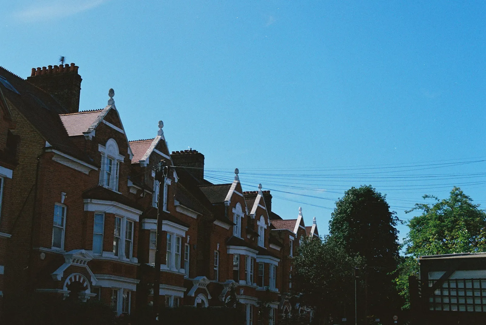
Measured building surveys in Herne Hill and Tulse Hill
DrawingsDirect carries out measured building surveys in Herne Hill and Tulse Hill from £200, returning scaled plans of the house as it stands. Lambeth Council decided 595 householder applications in the year to June 2026, prior approvals included, and 94% of the non-prior-approval ones were made within eight weeks.
Fixed fee from £200 · all prices
Prefer to talk it through?
A measured survey for SE24 homes
Searches for this page ask for measured building surveys in Tulse Hill and Herne Hill. We measure the walls, rooms, openings and levels on site and draw them to scale, so the design work after it starts from facts.
An SE24 survey costs from £200. The measured building survey page explains the service, and the Brixton survey page covers the neighbouring SW9 area.
Lambeth's householder figures
Lambeth's count of householder decisions for the year to June 2026 is 595, prior approvals included (our analysis of MHCLG planning application statistics, table PS2).
Excluding prior approvals, 94% of householder decisions were made within eight weeks over the same four quarters (our analysis of the same table). SE24 may not sit wholly inside Lambeth, so confirm the council for your address.
Lambeth's count of householder decisions for the year to June 2026 is 595, prior approvals included (our analysis of MHCLG planning application statistics, table PS2).
Conservation areas and article 4 directions
Lambeth appears with 65 conservation-area entries on the national register (our analysis of MHCLG Planning Data Platform conservation-area datasets, retrieved 14 August 2026). For a Herne Hill or Tulse Hill street, Lambeth's own conservation area map is the reliable check.
Our analysis of the article 4 direction dataset, retrieved 15 October 2026, finds 41 live register rows around the SE24 postcode centroid. The register is incomplete, so 41 is a lower bound and not proof of coverage. An article 4 direction can remove permitted development rights, so ask the council before assuming you can build without applying.
Drawn to scale, with north shown
GOV.UK planning practice guidance on making an application says drawings must be drawn to an identified scale and plans must show north. Location plans should typically use 1:1250 or 1:2500.
Our lawful development certificate drawings and planning drawings are produced from the survey to that standard.

Sources
Every figure on this page, where it comes from and a link to the original.
| Figure | Source | Link |
|---|---|---|
| 595 | Our analysis of MHCLG planning application statistics, table PS2 (district open data table) (released 24 Sep 2026, quarters to 2026 Q2) | www.gov.uk |
| 94% | Our analysis of MHCLG planning application statistics, table PS2 (district open data table) (released 24 Sep 2026, quarters to 2026 Q2) | www.gov.uk |
| 65 | Our analysis of MHCLG Planning Data Platform conservation-area and article-4-direction datasets (bulk snapshot retrieved 14 Aug 2026) | www.planning.data.gov.uk |
| 41 | Our analysis of MHCLG Planning Data Platform article-4-direction-area dataset (entity API, retrieved 15 Oct 2026) | www.planning.data.gov.uk |
| identified scale | Planning practice guidance, Making an application, paragraph 023 (ID 14-023-20140306): any plans or drawings must be drawn to an identified scale and plans must show the direction of north | www.gov.uk |
| 1:1250 | Planning practice guidance, Making an application, paragraph 024 (ID 14-024-20140306): location plan scale should typically be 1:1250 or 1:2500 | www.gov.uk |
| £200 | DrawingsDirect starting fixed fee for a measured building survey, from the published price list | drawingsdirect.co.uk |