Measured building survey in Bedford Park W4, and what BIM means for a house
Asking for a BIM survey in Bedford Park? For a planning application the council needs scaled plans, and a measured building survey produces them from the house's true dimensions. A 3D or BIM model is a different deliverable, which we confirm before any fee is agreed. DrawingsDirect's measured survey starts from £200.
Fixed fee from £200 · all prices
Prefer to talk it through?
Do you need a BIM model or scaled plans?
BIM survey searches usually come from people who have heard that a 3D model is better than flat drawings. For a householder planning application, the council needs scaled floor plans, elevations and sections, and a 2D set does that job.
If you want a 3D model for your own design work, say so on the enquiry form. We state what we can supply for your building before you pay, and we do not assume it. The groundwork is explained in our guide to what a measured building survey involves.
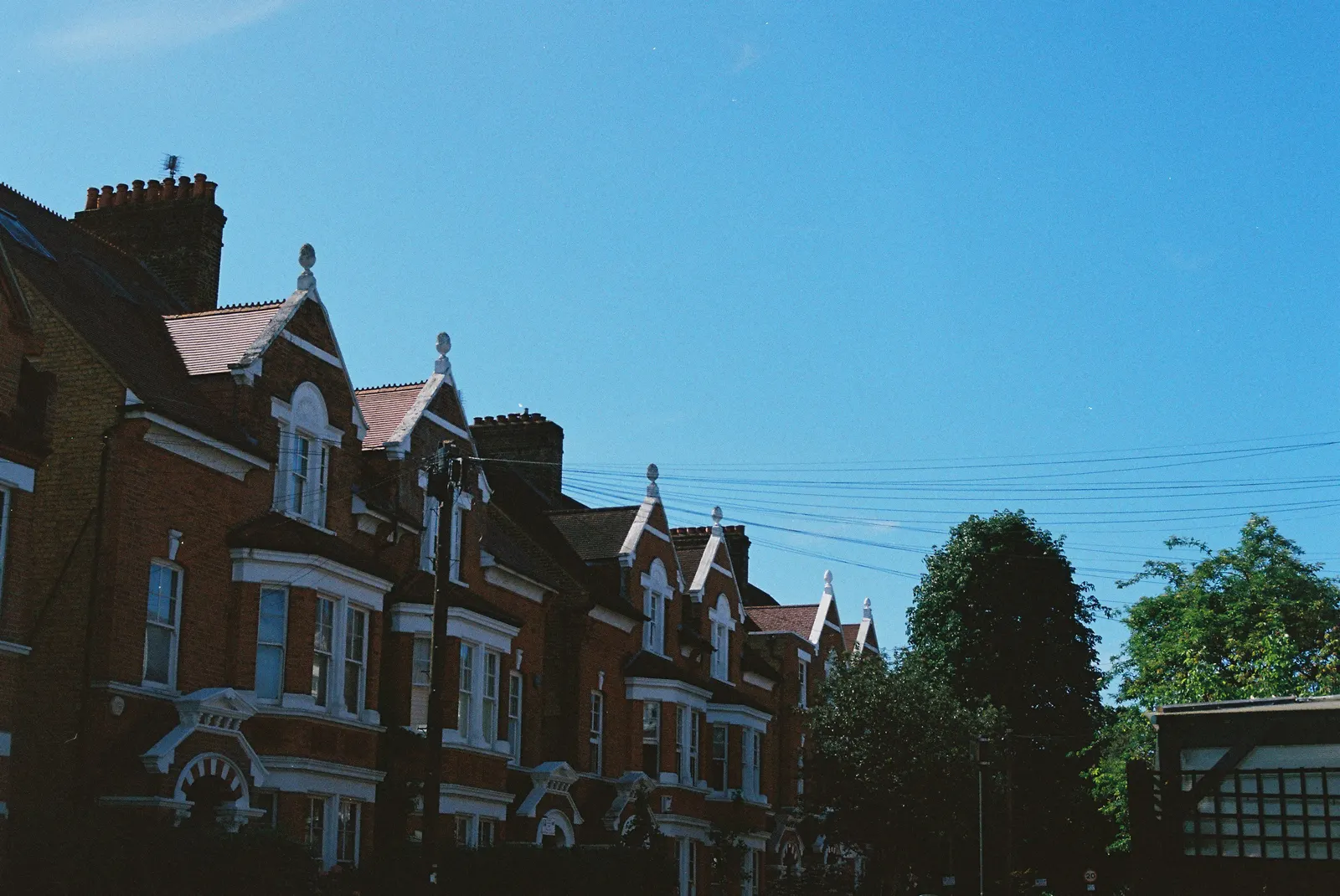
Measuring an older W4 house for drawings
A house that has been altered over the decades often no longer matches its old plans. A fresh survey shows what is there now, so a design for an extension or loft starts on solid ground.
The survey then feeds planning drawings, and where building control is involved, building regulations drawings. Where the work meets a neighbour's wall, the party wall guide explains the notices.
The figures here are Hounslow's: 689 householder decisions in the four quarters 2025 Q3 to 2026 Q2, including prior approvals (our analysis of MHCLG planning application statistics, table PS2).
Hounslow's planning record and drawing standards
Bedford Park sits on the boundary between Hounslow and Ealing, so confirm which council covers your street. The figures here are Hounslow's: 689 householder decisions in the four quarters 2025 Q3 to 2026 Q2, including prior approvals (our analysis of MHCLG planning application statistics, table PS2).
Excluding prior approvals, Hounslow turned round 97% of householder decisions within 8 weeks (our analysis of MHCLG planning application statistics, table PS2).
Entries on the national register for Hounslow conservation areas number 43 (our analysis of the MHCLG Planning Data Platform conservation-area and article-4-direction datasets). Check your W4 street on Hounslow's own conservation area map and read the conservation area glossary entry.
Government guidance says drawings must be drawn to an identified scale and plans must show north, and that a location plan should typically be at 1:1250 or 1:2500.
Price and how to begin
The survey with floor plans is priced from £200, and the pricing page has the full list.
Send the address and your plans through the quote form. If your street is on the Ealing side, our Ealing measured building survey page covers that council. The primary national source is the government's guidance on making an application.

Sources
Every figure on this page, where it comes from and a link to the original.
| Figure | Source | Link |
|---|---|---|
| £200 | DrawingsDirect starting fixed fee for a measured building survey, from the published price list | drawingsdirect.co.uk |
| identified scale | Planning practice guidance, Making an application, paragraph 023 (ID 14-023-20140306): any plans or drawings must be drawn to an identified scale and plans must show the direction of north | www.gov.uk |
| 1:1250 | Planning practice guidance, Making an application, paragraph 024 (ID 14-024-20140306): location plan scale should typically be 1:1250 or 1:2500 | www.gov.uk |
| 689 | Our analysis of MHCLG planning application statistics, table PS2 (district open data table) (released 24 Sep 2026, quarters to 2026 Q2) | www.gov.uk |
| 97% | Our analysis of MHCLG planning application statistics, table PS2 (district open data table) (released 24 Sep 2026, quarters to 2026 Q2) | www.gov.uk |
| 43 | Our analysis of MHCLG Planning Data Platform conservation-area and article-4-direction datasets (bulk snapshot retrieved 14 Aug 2026) | www.planning.data.gov.uk |