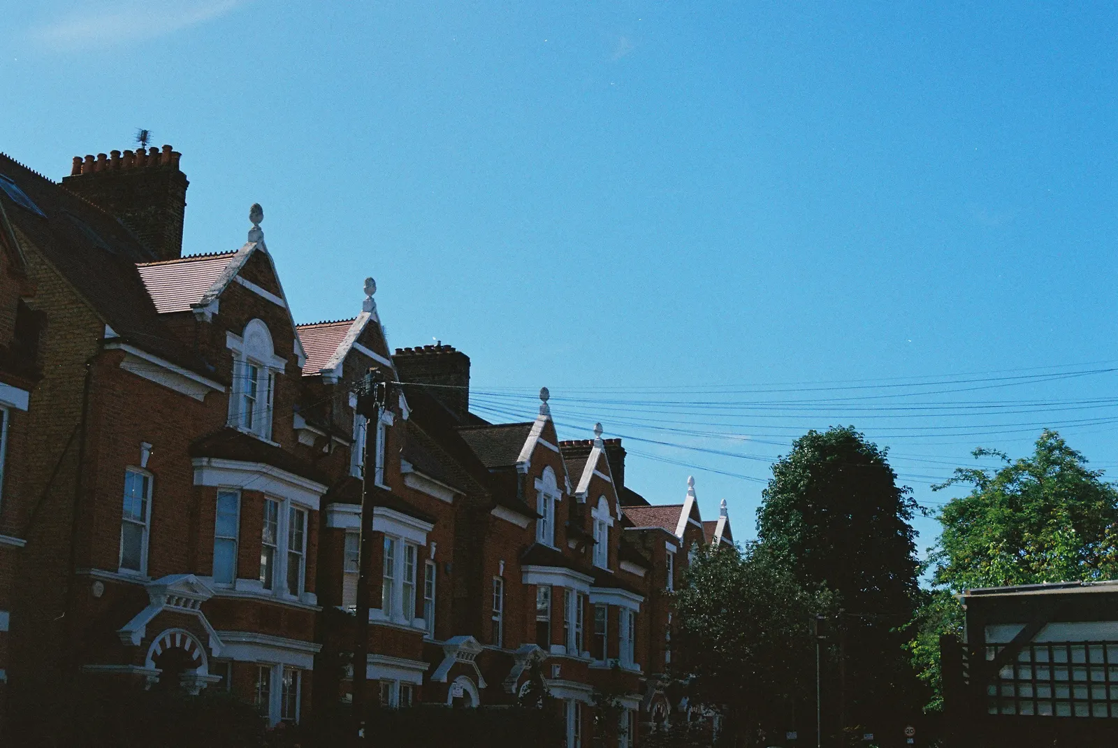
Measured building surveys in Walthamstow Village
DrawingsDirect measures homes in Walthamstow Village and across Waltham Forest from £200, returning laser-measured existing plans. Over its latest four quarters the council made 771 householder decisions, and with prior approvals left out it decided 90% of householder applications within eight weeks.
Fixed fee from £200 · all prices
Prefer to talk it through?
A survey that suits small period houses
In a compact period house a few centimetres matter when you fit in a rear extension or loft stairs. We measure each floor with a laser and draw the existing plans to scale, so later drawings start from true sizes.
The measured building survey service page sets out what you receive.
Conservation areas in Waltham Forest
The national planning data platform lists 15 Waltham Forest entries on its national conservation-area register (our analysis of MHCLG Planning Data Platform conservation-area and article-4-direction datasets, bulk snapshot retrieved 14 August 2026). The count reflects what the council has published, so confirm your own street on Waltham Forest's conservation area map. A designation affects which alterations the drawings can propose.
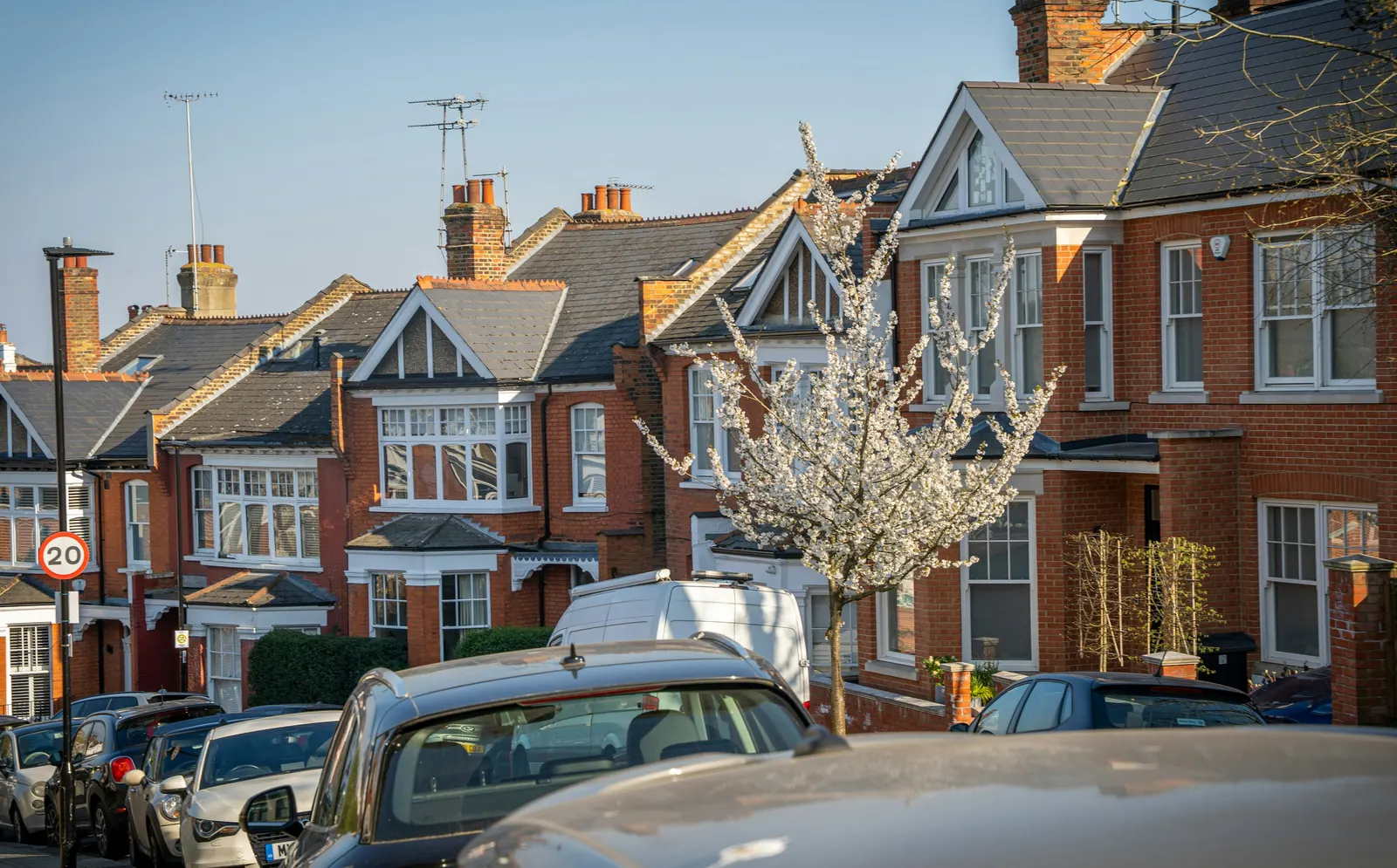
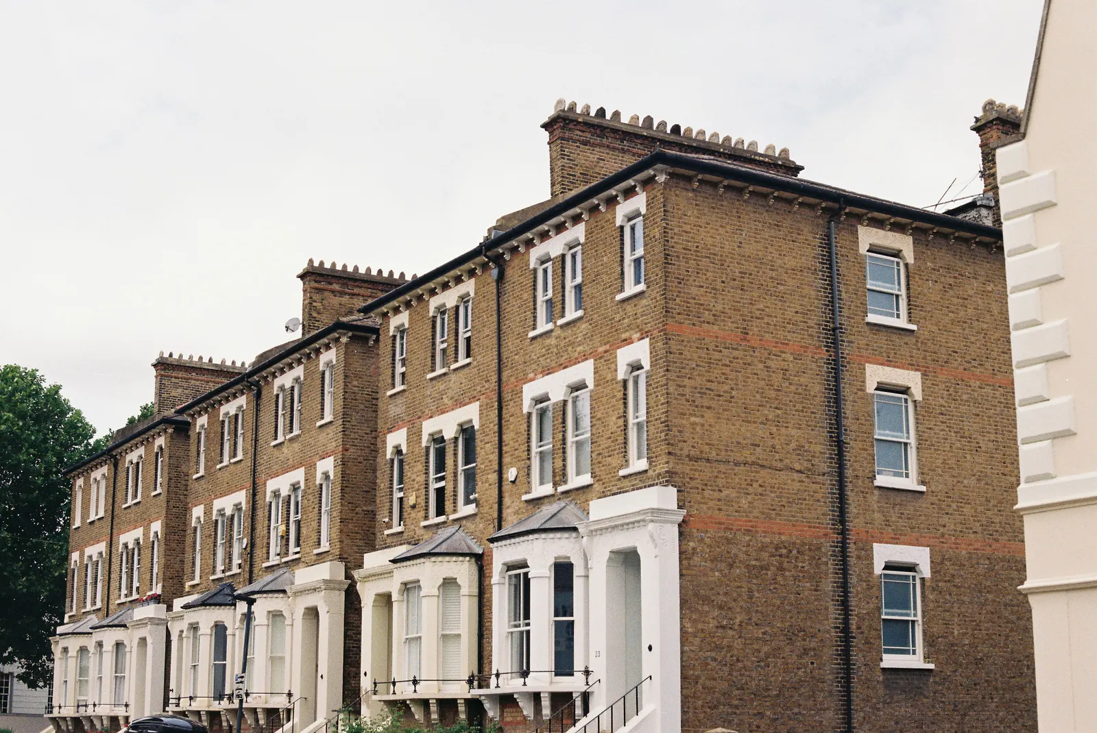
Waltham Forest made 771 householder decisions across the four quarters to June 2026, prior approvals included (our analysis of MHCLG planning application statistics, table PS2).
How the council handles householder applications
Waltham Forest made 771 householder decisions across the four quarters to June 2026, prior approvals included (our analysis of MHCLG planning application statistics, table PS2). Excluding prior approvals, 90% of householder applications were decided within eight weeks (our analysis of the same table).
Applicants who also search for dilapidation or BIM surveys should note those are different specialist services, not part of a measured survey for a house.
Fee and next stage
From £200, fixed. Our pricing shows what a set of loft conversion drawings or extension drawings adds once the survey is done.

Guidance on plan scale
GOV.UK planning practice guidance on making an application says plans must be drawn to an identified scale and show north, and gives 1:1250 as one typical location plan scale. A measured survey gives your drawings true dimensions to meet it.
Sources
Every figure on this page, where it comes from and a link to the original.
| Figure | Source | Link |
|---|---|---|
| 771 | Our analysis of MHCLG planning application statistics, table PS2 (district open data table) (released 24 Sep 2026, quarters to 2026 Q2) | www.gov.uk |
| 90% | Our analysis of MHCLG planning application statistics, table PS2 (district open data table) (released 24 Sep 2026, quarters to 2026 Q2) | www.gov.uk |
| 15 | Our analysis of MHCLG Planning Data Platform conservation-area and article-4-direction datasets (bulk snapshot retrieved 14 Aug 2026) | www.planning.data.gov.uk |
| identified scale | Planning practice guidance, Making an application, paragraph 023 (ID 14-023-20140306): any plans or drawings must be drawn to an identified scale and plans must show the direction of north | www.gov.uk |
| 1:1250 | Planning practice guidance, Making an application, paragraph 024 (ID 14-024-20140306): location plan scale should typically be 1:1250 or 1:2500 | www.gov.uk |
| £200 | DrawingsDirect starting fixed fee for a measured building survey, from the published price list | drawingsdirect.co.uk |