Measured Building Survey in Tower Hamlets
Fixed-fee, MCIAT-chartered measured building survey for Tower Hamlets homeowners — London Borough of Tower Hamlets validation and local constraints handled from the start.
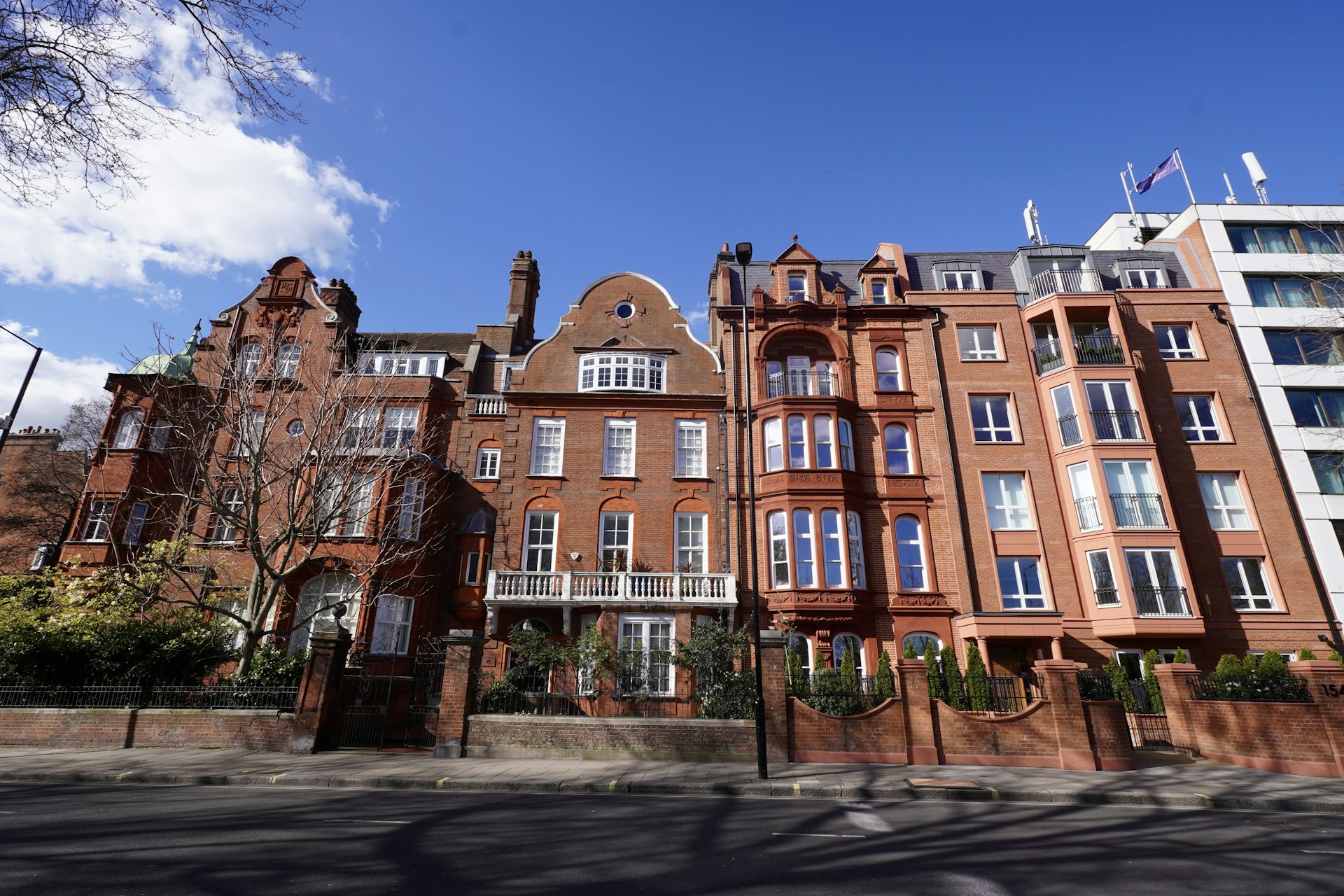
Tower Hamlets runs from the listed Georgian terraces of Spitalfields and the warehouse and wharf conversions of Wapping and Limehouse through the Victorian streets of Bow and Mile End to the dense purpose-built and estate housing of Bethnal Green, Poplar and Whitechapel and the towers of the Isle of Dogs. It is one of London's most heritage-dense and design-scrutinised boroughs, so the right route for an alteration or extension depends heavily on the building type and its conservation or listing status.
A high proportion of streets fall within conservation areas — Fournier Street and Elder Street in Spitalfields, Wapping Pierhead, Narrow Street in Limehouse, Victoria Park, Tredegar Square in Bow and Whitechapel Market — where permitted development is removed and even some changes of use are controlled. Spitalfields in particular carries a high density of listed Georgian terraces, where listed-building consent is usually required for many alterations, internal as well as external. Tower Hamlets also applies Article 4 directions removing permitted development for HMO conversions in parts of the borough, Thames-side flood-zone considerations run along the Wapping and Limehouse riverside, and tall-building and townscape context near the City fringe and Canary Wharf adds further design scrutiny.
We prepare Tower Hamlets planning and, where needed, listed-building submissions to the council's validation and design standards, screening conservation-area and listing constraints for your exact address before recommending a route to consent. Because the borough determines most householder applications within the statutory eight-week period once validated, we work validation-first to avoid the queries that cause most delays. The fee is fixed and agreed up front, drawings typically follow within about seven days, and we offer free redraws until the council approves — the same council-accepted drawings an architect would produce, usually at around 30% less.
Planning in Tower Hamlets: what to know before you apply
Tower Hamlets applies Article 4 directions to HMO conversions in parts of the borough and removes permitted development across its many conservation areas — Spitalfields, Wapping Pierhead and Tredegar Square among them. Spitalfields in particular carries a high density of listed Georgian terraces where listed-building consent is usually required. Thames flood-zone considerations apply along the riverside. We confirm the constraints for your address before drawing.
Typical Tower Hamlets housing stock
Georgian terraces around Spitalfields, warehouse and wharf conversions along the Wapping and Limehouse riverside, Victorian terraces across Bow and Mile End, and dense purpose-built and estate housing throughout the borough.
Areas we regularly draw for in Tower Hamlets
Bethnal Green · Bow · Poplar · Whitechapel · Wapping · Limehouse · Mile End · Isle of Dogs
What Tower Hamlets is actually built of
Building form decides the survey scope. Attached housing means party-wall lines and neighbouring returns have to be picked up accurately because they constrain everything after; a detached plot usually needs the boundary and levels instead. These are measured counts from Ordnance Survey building data, not a description of the borough.
Tower Hamlets building stock
Residential building form across 5 of Tower Hamlets's 5 postcode districts, from 1,441 classified buildings. Connectivity is topology: a semi extended into its garage reads as attached on more than one side.
| Attached on more than one side | 74% |
|---|---|
| Attached on one side | 19% |
| Detached | 7% |
| Buildings attached on more than one side | 1,067 |
| Detached buildings | 94 |
| Buildings classified | 1,441 |
| Postcode districts measured | 5 |
Source: Ordnance Survey National Geographic Database (derived statistics). Contains OS data © Crown copyright and database right 2026. Contains Royal Mail data © Royal Mail copyright and database right 2026. Extracted 2026-08-17.
Measured Building Survey for Tower Hamlets homes: the package and the process
A measured survey is the foundation every later drawing is checked against. We record the building as found — floor plans, elevations, sections, levels and, where needed, the position of structure and services — to a stated tolerance, so nothing downstream rests on an assumption about what is there.
The deliverable is chosen for what happens next. A conversion or extension design wants a layered CAD file that a designer can build on; a party wall or dilapidations matter wants dimensioned PDFs that stand on their own as a record. We agree that before the survey, because it changes what we capture.
Survey effort follows the building, not the floor area. A regular detached house measures quickly; a terrace with a rear outrigger, split levels, and a century of alterations takes longer because the survey has to record what was actually built rather than what the plan form implies.
Why does a planning or building regulations application need a measured survey?
A planning or building regulations application needs to show the existing building accurately alongside the proposed changes, so the council or Building Control can judge the impact of the work against what is actually there. Existing plans, elevations and sections drawn from an accurate measured survey give the borough confidence that the proposal has been designed against real dimensions, and give your builder a reliable set of drawings to price and build from — an application based on inaccurate or assumed dimensions risks queries, delays, or a design that does not translate cleanly on site.
What does a measured building survey capture?
The survey records everything needed to produce accurate existing drawings: internal room dimensions and floor-to-ceiling heights on every level, the position, width and height of every door and window, wall thicknesses, staircase dimensions and headroom, roof shape and pitch, chimney breasts and structural features, and the external footprint and boundary relationship of the property. Where relevant to the project, we also record ground levels, existing drainage runs and neighbouring boundary conditions.
This is captured with a laser distance meter rather than a tape measure, which keeps the survey accurate to within a few millimetres across a whole property and removes the cumulative measuring error that can creep into a hand-measured survey of a larger or more complex building.
Can I reuse an old survey or estate agent floor plan instead?
Generally, no — estate agent floor plans are produced for marketing purposes and are not dimensionally accurate enough to design an extension or loft conversion against, and a previous owner's drawings may not reflect alterations made since, or may simply be inaccurate to begin with. A fresh measured survey is a modest cost relative to the overall project and is the single best way to avoid a redesign once a builder is on site and finds the real dimensions differ from the drawings.
| Output drawing | Relies on the measured survey for |
|---|---|
| Floor plans | Accurate room dimensions and layout for sale, letting or lease use |
| Planning drawings | Existing plans, elevations and sections to compare against the proposal |
| Building regulations drawings | Accurate existing structure to design technical compliance against |
| Structural calculations | True spans, floor-to-ceiling heights and existing structural elements |

Measured Building Survey across Tower Hamlets
Measured Building Survey in Tower Hamlets — FAQs
How much does a measured building survey cost?+
How long does a measured survey take?+
Is a measured survey the same as a floor plan?+
Do I need a measured survey if I am only doing internal work?+
Can the survey be used for more than one purpose?+
Do I need planning permission for an extension in Tower Hamlets?+
My Tower Hamlets property is listed — what consent do I need?+
Can you handle a warehouse or riverside conversion in Wapping or Limehouse?+
How long does Tower Hamlets Council take to decide?+
How much do planning drawings cost in Tower Hamlets?+
Get your free Tower Hamlets planning assessment
Tell us your Tower Hamlets address and ambition — we'll confirm feasibility, local constraints and a fixed fee within one working day.