Measured building surveys in South Tottenham
Measured building surveys in South Tottenham start at £200 with DrawingsDirect, and the result is a set of laser-measured existing plans for your house or flat. Haringey decided 90% of its householder applications within eight weeks, prior approvals excluded, across its latest four quarters.
Fixed fee from £200 · all prices
Prefer to talk it through?
Tottenham Green, Seven Sisters and the streets between
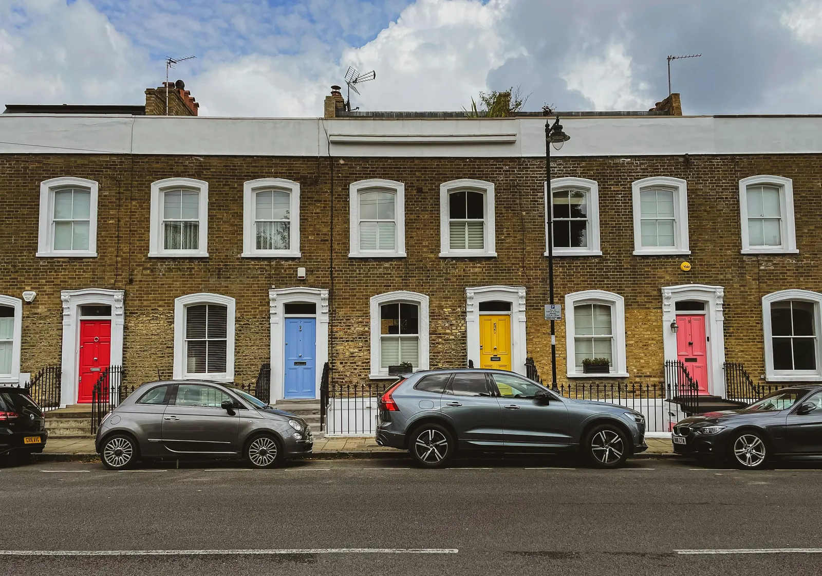
Terraces and converted houses around N15 are rarely square. Walls lean, chimney breasts intrude and extensions added decades ago do not line up with the original. A laser-measured survey records what is actually there, so the drawings for your project start from fact.
Cost and deliverable
The fixed fee is from £200. You receive existing plans drawn to scale. The measured building survey service page covers the detail and our pricing covers the stages after it.
The national register holds 33 conservation-area entries under Haringey (our analysis of MHCLG Planning Data Platform conservation-area and article-4-direction datasets, bulk snapshot retrieved 14 August 2026).
What Haringey's figures say
Haringey made 689 householder decisions in the four quarters to June 2026, prior approvals included (our analysis of MHCLG planning application statistics, table PS2). With prior approvals excluded, 90% of its householder applications were decided within eight weeks (our analysis of the same table).
The Haringey borough page shows the wider borough.
Conservation areas in Haringey
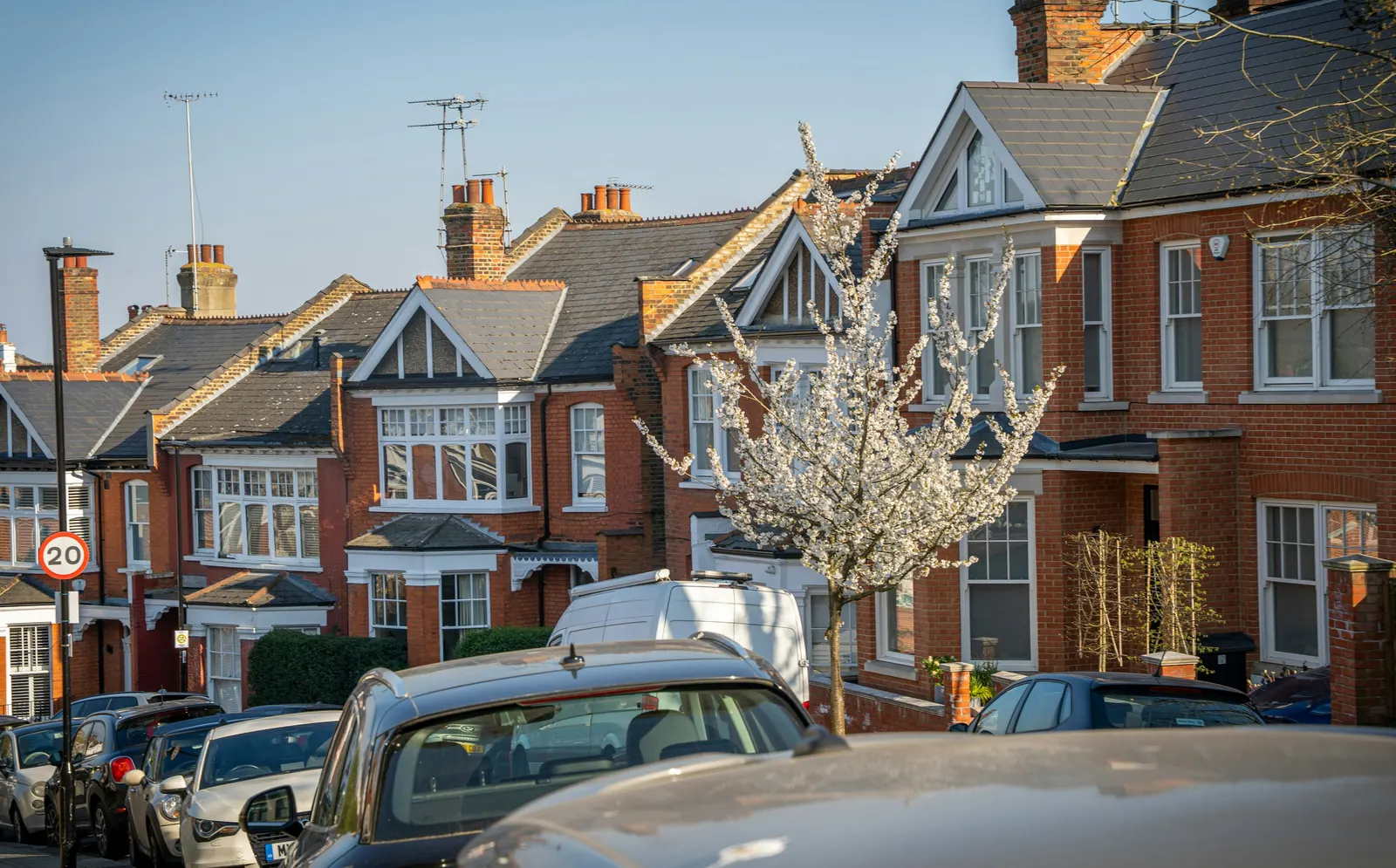
The national register holds 33 conservation-area entries under Haringey (our analysis of MHCLG Planning Data Platform conservation-area and article-4-direction datasets, bulk snapshot retrieved 14 August 2026). The count reflects what the council has published, so check Haringey Council's map for your N15 street. If your home is in one, windows, roofs and front boundaries get closer scrutiny, so it is worth knowing before drawing starts.

Plans that follow the national guidance
GOV.UK planning practice guidance on making an application asks for drawings to an identified scale with north marked, and gives 1:1250 as one typical location plan scale. If you are planning a rear or loft project, house extension drawings and loft conversion drawings are the usual next pages.
Sources
Every figure on this page, where it comes from and a link to the original.
| Figure | Source | Link |
|---|---|---|
| 689 | Our analysis of MHCLG planning application statistics, table PS2 (district open data table) (released 24 Sep 2026, quarters to 2026 Q2) | www.gov.uk |
| 90% | Our analysis of MHCLG planning application statistics, table PS2 (district open data table) (released 24 Sep 2026, quarters to 2026 Q2) | www.gov.uk |
| 33 | Our analysis of MHCLG Planning Data Platform conservation-area and article-4-direction datasets (bulk snapshot retrieved 14 Aug 2026) | www.planning.data.gov.uk |
| identified scale | Planning practice guidance, Making an application, paragraph 023 (ID 14-023-20140306): any plans or drawings must be drawn to an identified scale and plans must show the direction of north | www.gov.uk |
| 1:1250 | Planning practice guidance, Making an application, paragraph 024 (ID 14-024-20140306): location plan scale should typically be 1:1250 or 1:2500 | www.gov.uk |
| £200 | DrawingsDirect starting fixed fee for a measured building survey, from the published price list | drawingsdirect.co.uk |