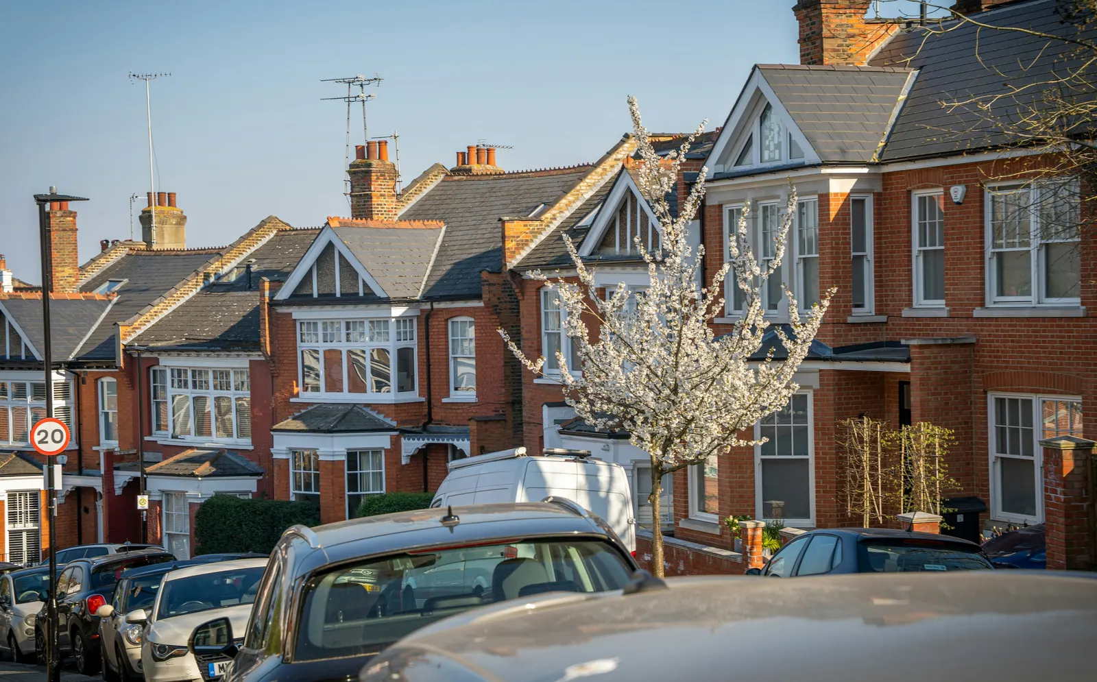
Measured building survey in Snaresbrook, E11
A laser-measured building survey of a Snaresbrook home, with existing plans drawn from it, starts at £200 with no VAT to add on our published price list. The survey is the base for every later drawing, so it is worth having right before you plan an extension, loft or conversion.
Fixed fee from £200 · all prices
Prefer to talk it through?
What a measured survey gives you in E11
A measured building survey records your house as it stands today: wall positions, openings, floor levels and the shape of the roof. From that record we draw existing plans, which become the starting point for anything you want to change.
If you searched for a measured building surveyor in Snaresbrook, the practical question is what you receive at the end. Ours is a laser-measured survey with existing plans, at a fixed fee that starts at £200 with no VAT to add.
Why start with the survey rather than the design
Planning guidance says plans and drawings must be drawn to an identified scale, and that plans must show the direction of north. A drawing built on guessed dimensions cannot meet that honestly, because the scale only means something if the measurements underneath it are sound.
Surveying first means the extension or loft design is drawn over what is really there, not over an old estate agent floor plan.
The Planning Inspectorate has decided 271 householder appeals in Redbridge in its casework database, and 40% were allowed.
Existing plans and the location plan
The existing plans from your survey sit alongside the location plan that most applications need. Planning guidance says a location plan should typically be at a scale of 1:1250, and the survey drawings carry the detail of the house itself.
Keeping the two consistent matters because the application shows both together: the site in its surroundings, and the building as it is.
What Redbridge decides on householder applications
Snaresbrook sits in the London Borough of Redbridge. Over the latest four quarters of government planning statistics, the council made 991 householder decisions, and 83% of them were granted.
Of the householder decisions excluding prior approvals, 96% were decided within eight weeks. Those figures are for the borough as a whole, not for any one street, and they describe past decisions rather than promise how yours will go.

Appeals and conservation areas in Redbridge
The Planning Inspectorate has decided 271 householder appeals in Redbridge in its casework database, and 40% were allowed.
The borough also has 19 live conservation areas. Whether your Snaresbrook address falls inside one is worth confirming early.
Surveying before a lawful development certificate
If you are weighing permitted development, a certificate of lawful development is one route to written confirmation. Redbridge decided 1,556 of them across the last eight quarters of published statistics, so the route is well used locally.
A certificate application rests on drawings of the existing house and the proposed work. A survey gives you the first half of that pair on solid measurements.
Sources
Every figure on this page, where it comes from and a link to the original.
| Figure | Source | Link |
|---|---|---|
| £200 | DrawingsDirect starting fixed fee for a laser-measured building survey with existing plans, with no VAT to add, from the published price list | drawingsdirect.co.uk |
| identified scale | Planning practice guidance, Making an application, paragraph 023: plans and drawings must be drawn to an identified scale and plans must show the direction of north (source wording: "must be drawn to an identified scale") | www.gov.uk |
| 1:1250 | Planning practice guidance, Making an application, paragraph 024: a location plan should typically be at a scale of 1:1250 or 1:2500 (source wording: "The scale should typically be 1:1250 or 1:2500") | www.gov.uk |
| 991 | Our analysis of MHCLG planning application statistics, table PS2 (district open data table) (released 24 Sep 2026, quarters to 2026 Q2) | www.gov.uk |
| 83% | Our analysis of MHCLG planning application statistics, table PS2 (district open data table) (released 24 Sep 2026, quarters to 2026 Q2) | www.gov.uk |
| 96% | Our analysis of MHCLG planning application statistics, table PS2 (district open data table) (released 24 Sep 2026, quarters to 2026 Q2) | www.gov.uk |
| 271 | Our analysis of Planning Inspectorate Casework Database (released 1 Oct 2026 (Casework Database 2609)) | www.gov.uk |
| 40% | Our analysis of Planning Inspectorate Casework Database (released 1 Oct 2026 (Casework Database 2609)) | www.gov.uk |
| 19 | Our analysis of MHCLG Planning Data Platform conservation-area and article-4-direction datasets (bulk snapshot retrieved 14 Aug 2026) | www.planning.data.gov.uk |
| 1,556 | Our analysis of MHCLG planning application statistics, table PS1 (district open data table) (released 24 Sep 2026, quarters to 2026 Q2) | www.gov.uk |