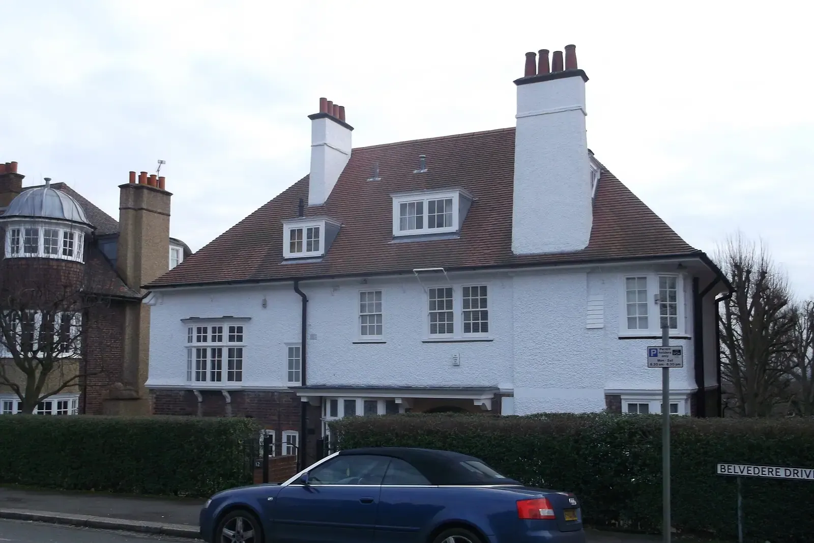
Measured building surveys in Merton
A measured building survey records a home's dimensions so drawings can be made from it, and DrawingsDirect does one anywhere in Merton from £200. A Level 3 building survey is a different product: it reports on condition. Merton Council made 759 householder decisions in the year to June 2026.
Fixed fee from £200 · all prices
Prefer to talk it through?
Level 3 survey or measured survey: which one do you need?
Searches in Merton often mix the two. A Level 3 building survey is a detailed condition report, usually bought before a purchase. A measured building survey gives you scaled plans of the building as it stands. We provide the second, and we do not report on defects.
If you plan to extend, convert a loft or apply for a certificate, the measured survey is the one that feeds the drawings. Read the measured building survey service page for how it works.
Merton Council's householder caseload
Merton Council made 759 householder decisions across the four quarters from July 2025 to June 2026, prior approvals included (our analysis of MHCLG planning application statistics, table PS2, released 24 September 2026).
Excluding prior approvals, 75% of its householder decisions were made within eight weeks (our analysis of the same table). That is a council-wide figure, not one for a single ward.
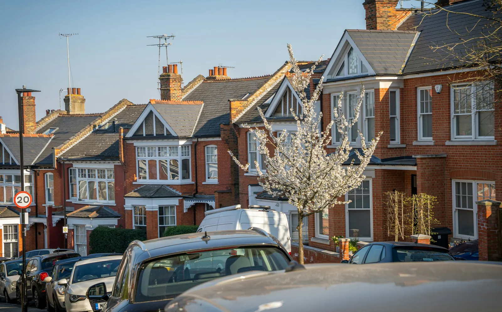
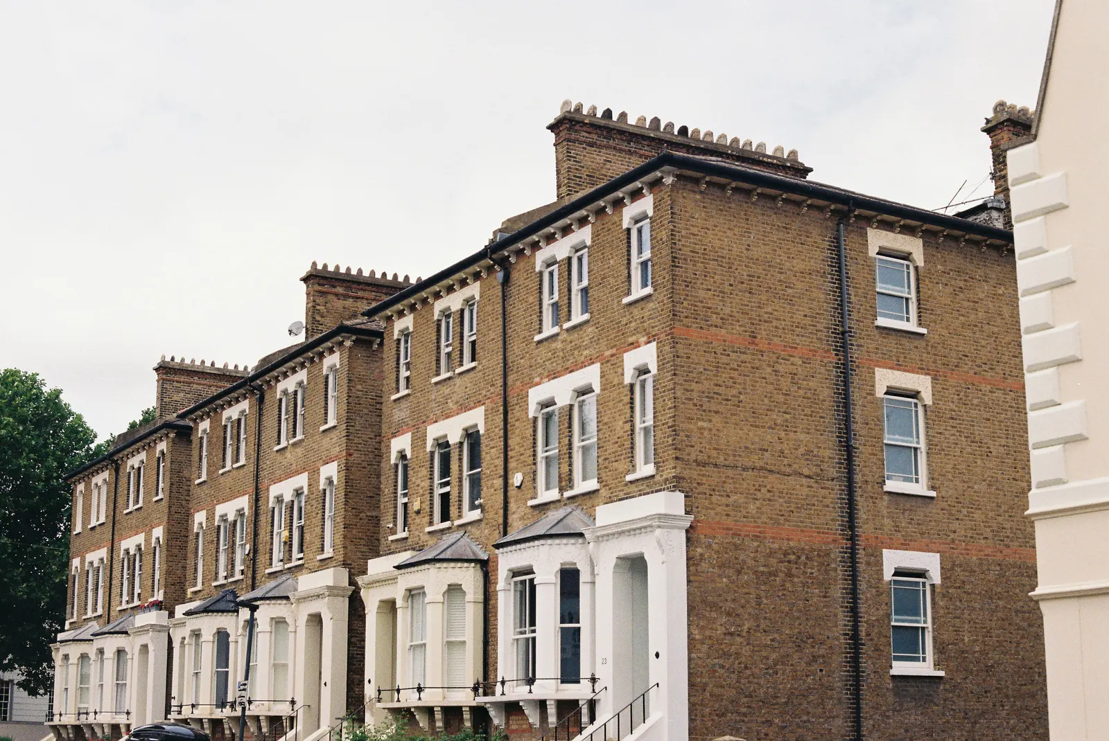
Merton Council made 759 householder decisions across the four quarters from July 2025 to June 2026, prior approvals included (our analysis of MHCLG planning application statistics, table PS2, released 24 September 2026).
Morden Park, Mitcham, Raynes Park and South Wimbledon
The survey fee is the same across the borough, Morden Park included: from £200, with the address checked when you send the form. We have a separate page for Morden, and one for Carshalton over the Sutton border.
Our analysis of MHCLG Planning Data Platform datasets (snapshot retrieved 14 August 2026) finds 28 conservation-area entries for Merton on the national register. Merton's conservation area map, or a call to the council, will tell you whether your road is in one.
What an application needs from the drawings
GOV.UK planning practice guidance says plans must be drawn to an identified scale and show north, and that a location plan should typically be 1:1250 or 1:2500. Our planning drawings are built on the measured base, and pricing sets out each stage.

Sources
Every figure on this page, where it comes from and a link to the original.
| Figure | Source | Link |
|---|---|---|
| 759 | Our analysis of MHCLG planning application statistics, table PS2 (district open data table) (released 24 Sep 2026, quarters to 2026 Q2) | www.gov.uk |
| 75% | Our analysis of MHCLG planning application statistics, table PS2 (district open data table) (released 24 Sep 2026, quarters to 2026 Q2) | www.gov.uk |
| 28 | Our analysis of MHCLG Planning Data Platform conservation-area and article-4-direction datasets (bulk snapshot retrieved 14 Aug 2026) | www.planning.data.gov.uk |
| identified scale | Planning practice guidance, Making an application, paragraph 023 (ID 14-023-20140306): any plans or drawings must be drawn to an identified scale and plans must show the direction of north | www.gov.uk |
| 1:1250 | Planning practice guidance, Making an application, paragraph 024 (ID 14-024-20140306): location plan scale should typically be 1:1250 or 1:2500 | www.gov.uk |
| £200 | DrawingsDirect starting fixed fee for a measured building survey, from the published price list | drawingsdirect.co.uk |
Questions people ask
Does a measured survey replace a Level 3 building survey?
Do you survey in Mitcham and Raynes Park?
Photographs: David Anstiss (CC BY-SA 2.0).
