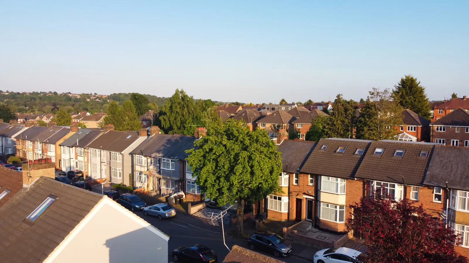
Measured building survey in Lee, SE12
For a house or flat in Lee SE12, our measured building survey costs from £200, and you get laser-measured plans of the property. Lee is part of Lewisham, where the council made 578 householder decisions in the four quarters to June 2026. Excluding prior approvals, it decided 95% of householder cases within eight weeks.
Fixed fee from £200 · all prices
Prefer to talk it through?
Who orders a survey in Lee, and when
Order one when a loft, rear extension or conversion is on the table, before any designer is paid to draw. It also helps when the plans you hold do not match the walls as built.
The service is described on our measured building survey page, and the lawful development certificate drawings page covers a common route that depends on exact existing plans.
Lewisham in the planning statistics
Our analysis of MHCLG planning application statistics, table PS2 (released 24 September 2026), counts 578 householder decisions across the four quarters to June 2026, prior approvals included.
With prior approvals excluded, 95% of householder decisions were made within eight weeks (same analysis).
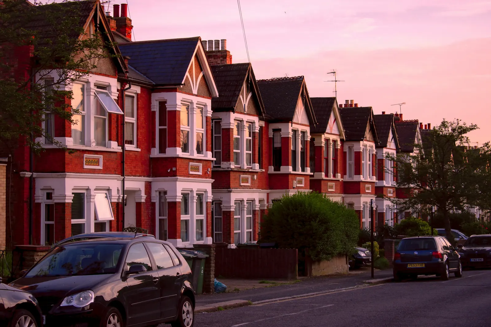
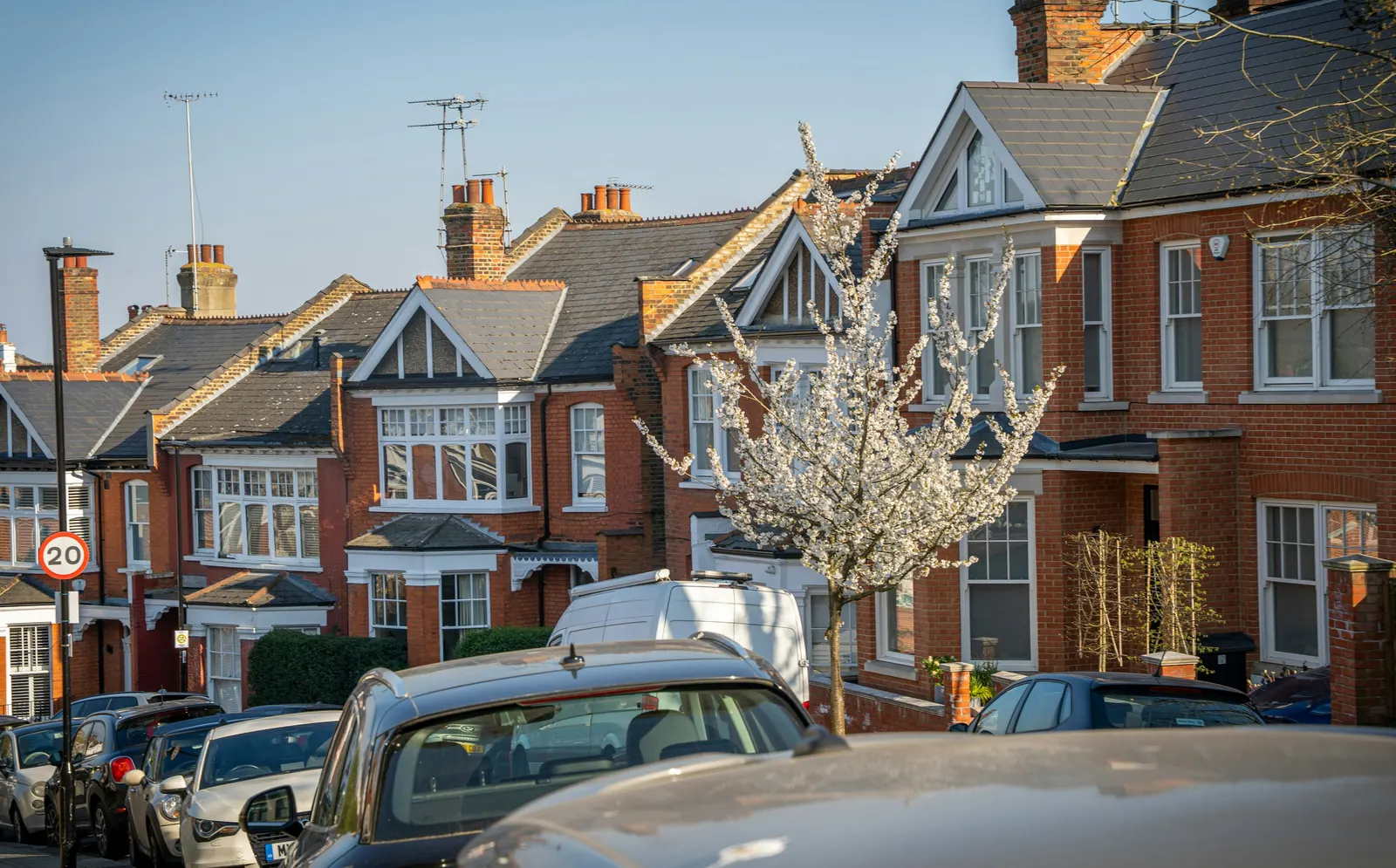
Our analysis of MHCLG planning application statistics, table PS2 (released 24 September 2026), counts 578 householder decisions across the four quarters to June 2026, prior approvals included.
Conservation areas in the borough
On the national register, Lewisham has 30 conservation-area entries (our analysis of MHCLG Planning Data Platform datasets, bulk snapshot retrieved 14 August 2026). Whether your Lee street is covered is a question for Lewisham's own conservation area map, and worth checking early.
Why scale and north matter
Government planning guidance requires an identified scale on drawings and a north point on plans. Location plans are typically 1:1250 or 1:2500.
See the pricing page for what each later drawing stage costs.

Sources
Every figure on this page, where it comes from and a link to the original.
| Figure | Source | Link |
|---|---|---|
| 578 | Our analysis of MHCLG planning application statistics, table PS2 (district open data table) (released 24 Sep 2026, quarters to 2026 Q2) | www.gov.uk |
| 95% | Our analysis of MHCLG planning application statistics, table PS2 (district open data table) (released 24 Sep 2026, quarters to 2026 Q2) | www.gov.uk |
| 30 | Our analysis of MHCLG Planning Data Platform conservation-area and article-4-direction datasets (bulk snapshot retrieved 14 Aug 2026) | www.planning.data.gov.uk |
| identified scale | Planning practice guidance, Making an application, paragraph 023 (ID 14-023-20140306): any plans or drawings must be drawn to an identified scale and plans must show the direction of north | www.gov.uk |
| 1:1250 | Planning practice guidance, Making an application, paragraph 024 (ID 14-024-20140306): location plan scale should typically be 1:1250 or 1:2500 | www.gov.uk |
| £200 | DrawingsDirect starting fixed fee for a measured building survey, from the published price list | drawingsdirect.co.uk |