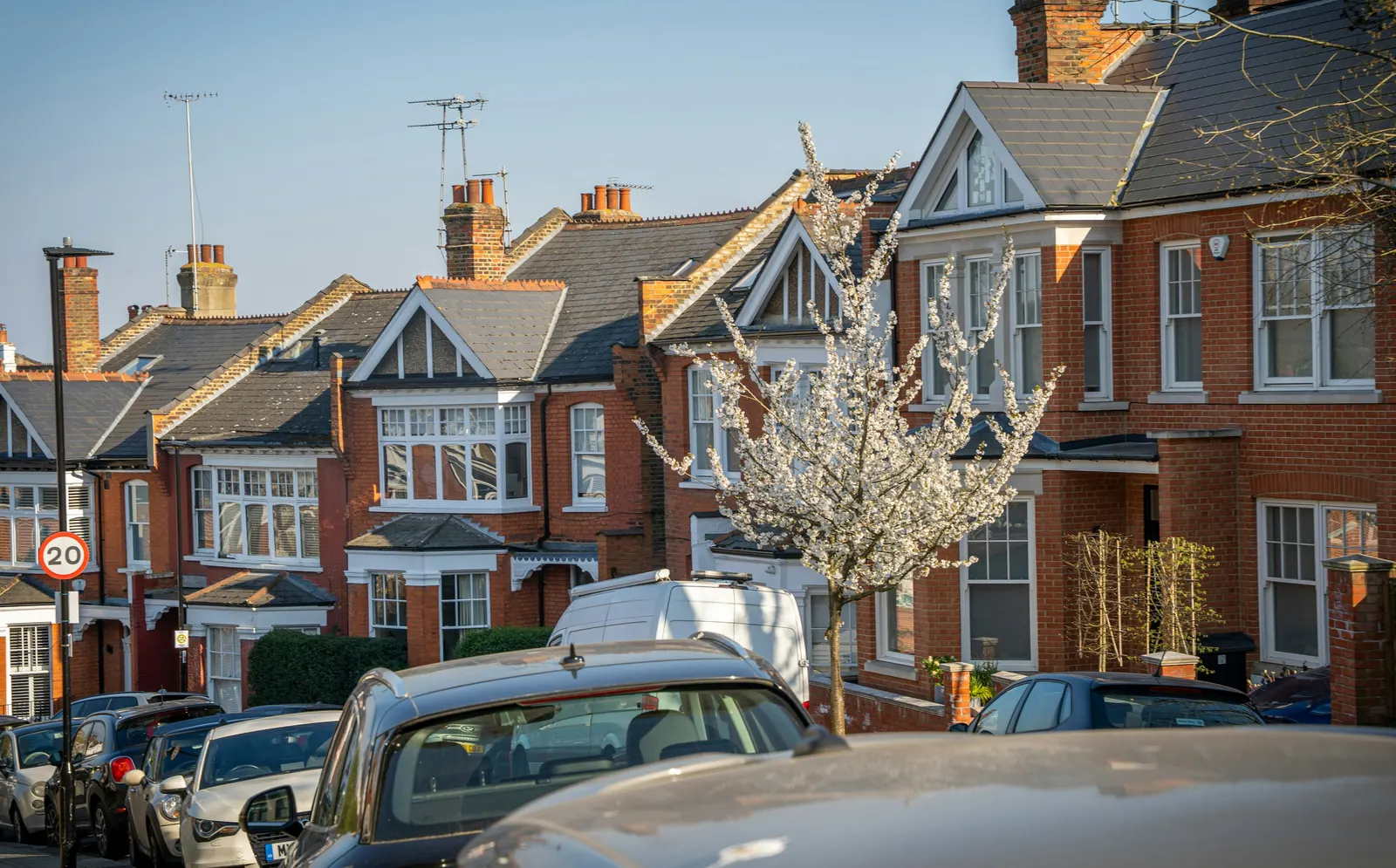
Measured building surveys in Archway, N19
A measured building survey in Archway costs from £200 with DrawingsDirect, a fixed fee for a laser-measured survey with existing plans. MCIAT chartered architectural technologists survey your N19 home and draw it to scale, whichever street or postcode unit you are on, from Highgate Hill to Junction Road.
Fixed fee from £200 · all prices
Prefer to talk it through?
N19 streets, one council
Some searches that reach this page are for a full postcode, such as N19 4LA or N19 5PX. Most of N19 is in Islington, but postcode districts do not follow borough boundaries exactly, so confirm which council covers your street. The survey itself is specific to your house.
We measure on site with a laser and draw the existing plans, elevations and sections to scale. The fee starts from £200, and floor plans are a lighter option if you need only the plan of each level.
How Islington decides
Our analysis of MHCLG planning application statistics, table PS2 (released 24 Sep 2026, quarters to 2026 Q2) counts 337 householder decisions by Islington over the four quarters 2025 Q3 to 2026 Q2, including prior approvals, and 93% were granted.
Our analysis of the Planning Inspectorate Casework Database (released 1 Oct 2026, Casework Database 2609) found 180 householder appeals decided for Islington in 2021 to 2026, and 25% were allowed. These are borough averages and past records. Our Islington planning permission page covers the process.
Our analysis of table PS1 counts 270 certificates of lawful development decided by Islington across the eight quarters 2024 Q3 to 2026 Q2.
Conservation areas and Article 4 around N19
Our analysis of the MHCLG Planning Data Platform (bulk snapshot retrieved 14 Aug 2026) finds 41 entries on the national register of conservation areas for Islington. Check your own street on the council's conservation area map.
Our analysis of the article-4-direction-area dataset (entity API, retrieved 15 Oct 2026) finds 3 live register rows within a small envelope around the N19 outcode centroid. The register is incomplete, so 3 is a lower bound and not proof of coverage; ask Islington about your address.
Scale and certificates
Planning practice guidance says plans and drawings must be drawn to an "identified scale" and a location plan should typically be at 1:1250 or 1:2500, as set out on GOV.UK.
Our analysis of table PS1 counts 270 certificates of lawful development decided by Islington across the eight quarters 2024 Q3 to 2026 Q2. See our guide on whether you need a lawful development certificate.

Sources
Every figure on this page, where it comes from and a link to the original.
| Figure | Source | Link |
|---|---|---|
| £200 | DrawingsDirect starting fixed fee for a laser-measured building survey with existing plans, from the published price list | drawingsdirect.co.uk |
| identified scale | Planning practice guidance, Making an application, paragraph 023: plans and drawings must be drawn to an identified scale and plans must show the direction of north (source wording: "must be drawn to an identified scale") | www.gov.uk |
| 1:1250 | Planning practice guidance, Making an application, paragraph 024: a location plan should typically be at a scale of 1:1250 or 1:2500 (source wording: "The scale should typically be 1:1250 or 1:2500") | www.gov.uk |
| 337 | Our analysis of MHCLG planning application statistics, table PS2 (district open data table) (released 24 Sep 2026, quarters to 2026 Q2) | www.gov.uk |
| 93% | Our analysis of MHCLG planning application statistics, table PS2 (district open data table) (released 24 Sep 2026, quarters to 2026 Q2) | www.gov.uk |
| 180 | Our analysis of Planning Inspectorate Casework Database (released 1 Oct 2026 (Casework Database 2609)) | www.gov.uk |
| 25% | Our analysis of Planning Inspectorate Casework Database (released 1 Oct 2026 (Casework Database 2609)) | www.gov.uk |
| 41 | Our analysis of MHCLG Planning Data Platform conservation-area and article-4-direction datasets (bulk snapshot retrieved 14 Aug 2026) | www.planning.data.gov.uk |
| 270 | Our analysis of MHCLG planning application statistics, table PS1 (district open data table) (released 24 Sep 2026, quarters to 2026 Q2) | www.gov.uk |
| 3 | Our analysis of MHCLG Planning Data Platform article-4-direction-area dataset (entity API, retrieved 15 Oct 2026) | www.planning.data.gov.uk |