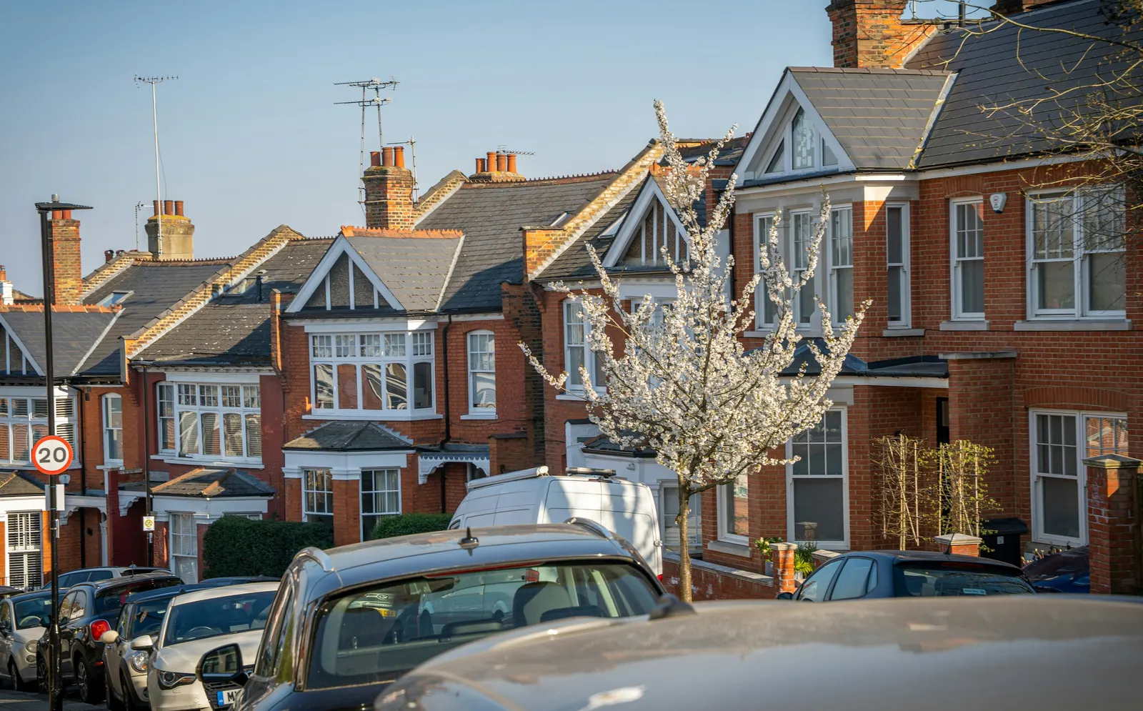
Floor plans in South Norwood, SE25
In South Norwood, SE25, a floor plan means a scaled sheet for each level of the building, seen from above, with walls, doors, windows and room sizes. Ours start at £275 as a fixed fee, measured on site, with north marked, and suitable for Croydon council as well as for a sale.
Fixed fee from £275 · all prices
Prefer to talk it through?
What is on a floor plan, and what is not
Each floor gets its own sheet at an identified scale: wall thicknesses, openings, stairs, room names and key dimensions, with north marked. It is a record of the building as it stands. Elevations, sections and a proposed layout are separate drawings.
The government's planning practice guidance requires plans and drawings to be drawn to an identified scale, and plans to show the direction of north. You can read the wording in Making an application.
Price for SE25
The starting fixed fee for scaled floor plans for sale, letting or lease is £275. Bigger properties and additional drawings are quoted; the pricing page explains how.
If you want a full survey rather than plans alone, look at our measured building survey in Croydon.
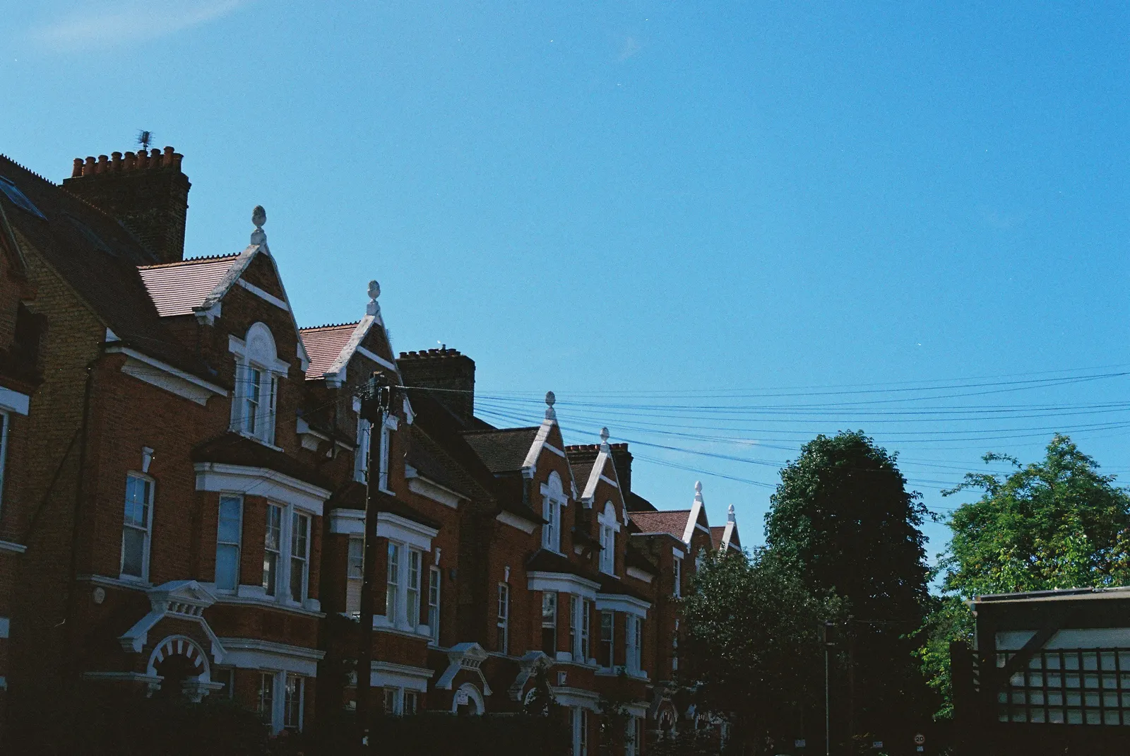
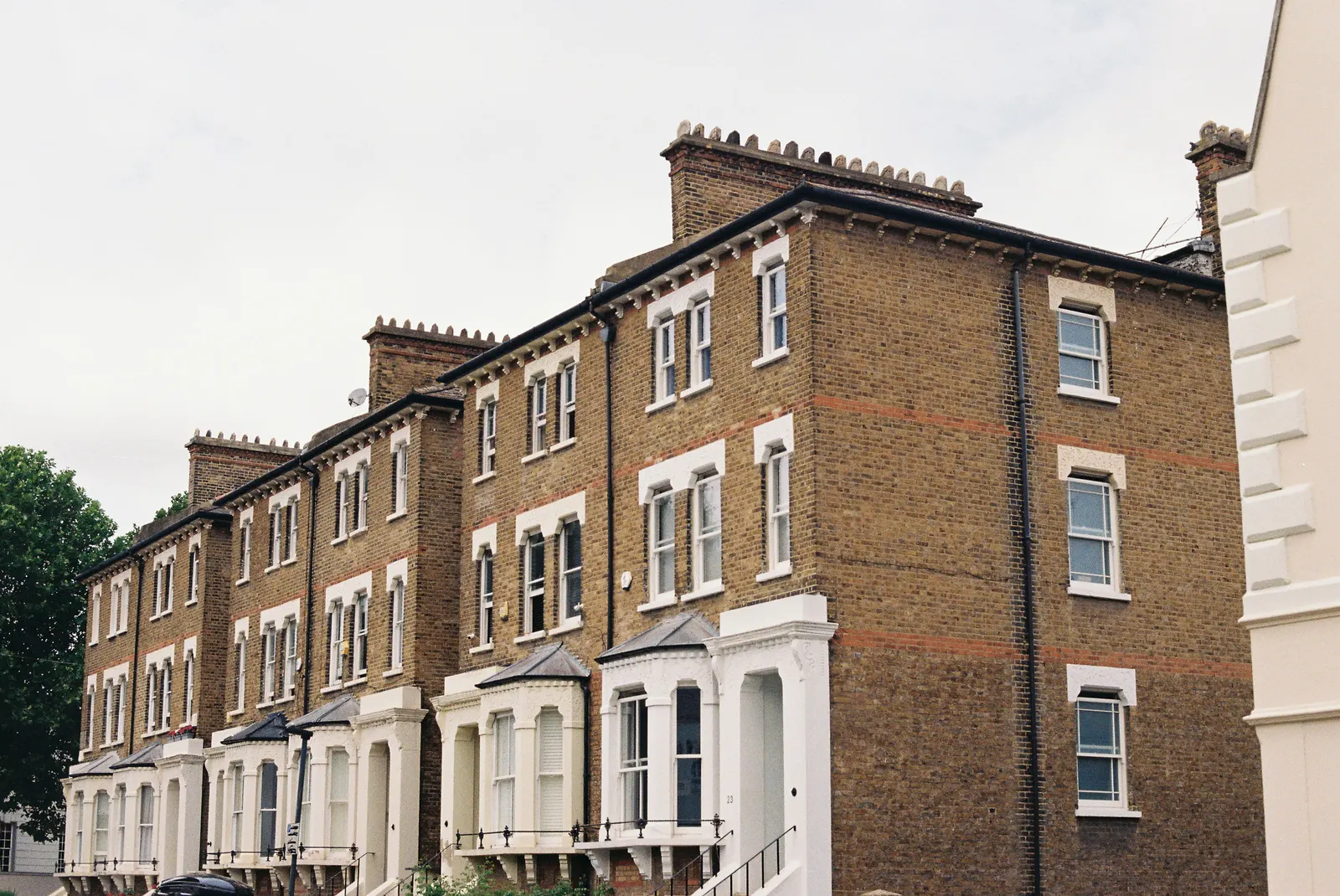
There are 20 entries on the national register of conservation areas for Croydon, according to our analysis of the MHCLG Planning Data Platform.
What Croydon council has been deciding
South Norwood falls under Croydon council. Our analysis of the MHCLG planning application statistics (table PS2, released 24 Sep 2026) shows 786 householder decisions in the four quarters from 2025 Q3 to 2026 Q2, with 87% granted. Excluding prior approvals, 95% were decided within 8 weeks.
Our analysis of the Planning Inspectorate Casework Database (release 2609) counts 287 householder appeals decided between 2021 and 2026, 39% of them allowed. These are results from the past, not an indication of what will happen to your application.
Designations and lawful use
There are 20 entries on the national register of conservation areas for Croydon, according to our analysis of the MHCLG Planning Data Platform. The register is a guide, so check the council's own conservation area map for your road before planning any change.
Croydon also decided 1,005 certificates of lawful development in the eight quarters from 2024 Q3 to 2026 Q2 (our analysis of table PS1). A floor plan is the base document for one; our lawful development certificate drawings in Croydon page covers that route, and the borough page floor plans in Croydon sets out the wider picture.

Sources
Every figure on this page, where it comes from and a link to the original.
| Figure | Source | Link |
|---|---|---|
| £275 | DrawingsDirect starting fixed fee for scaled floor plans for sale, letting or lease, from the published price list | drawingsdirect.co.uk |
| identified scale | Planning practice guidance, Making an application, paragraph 023: plans and drawings must be drawn to an identified scale and plans must show the direction of north (source wording: "must be drawn to an identified scale") | www.gov.uk |
| 786 | Our analysis of MHCLG planning application statistics, table PS2 (district open data table) (released 24 Sep 2026, quarters to 2026 Q2) | www.gov.uk |
| 87% | Our analysis of MHCLG planning application statistics, table PS2 (district open data table) (released 24 Sep 2026, quarters to 2026 Q2) | www.gov.uk |
| 95% | Our analysis of MHCLG planning application statistics, table PS2 (district open data table) (released 24 Sep 2026, quarters to 2026 Q2) | www.gov.uk |
| 287 | Our analysis of Planning Inspectorate Casework Database (released 1 Oct 2026 (Casework Database 2609)) | www.gov.uk |
| 39% | Our analysis of Planning Inspectorate Casework Database (released 1 Oct 2026 (Casework Database 2609)) | www.gov.uk |
| 20 | Our analysis of MHCLG Planning Data Platform conservation-area and article-4-direction datasets (bulk snapshot retrieved 14 Aug 2026) | www.planning.data.gov.uk |
| 1,005 | Our analysis of MHCLG planning application statistics, table PS1 (district open data table) (released 24 Sep 2026, quarters to 2026 Q2) | www.gov.uk |