Planning Drawings in Westminster
Fixed-fee, MCIAT-chartered planning drawings for Westminster homeowners — Westminster City Council validation and local constraints handled from the start.
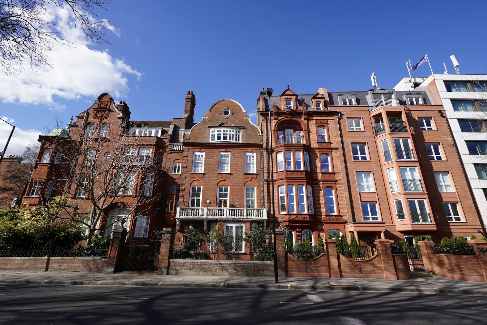
Westminster is among the most heritage-dense authorities in the country: the great majority of its housing sits within a conservation area — Belgravia, Mayfair, Pimlico, Bayswater, Maida Vale and St John's Wood among them — listed buildings are commonplace, and much of the residential stock is mansion-block or garden-square terrace where external alterations are tightly controlled. The character runs from stucco-fronted Georgian and Victorian townhouses and garden-square terraces to red-brick and Portland-stone mansion blocks across the West End and Marylebone. Permitted development rarely applies, and applications turn on careful, context-led drawings and, frequently, listed-building consent.
Because so much of the city lies within a conservation area and a high proportion of buildings are listed, a full planning application — and often listed-building consent — is usually required even for modest works in Belgravia, Mayfair, Pimlico or Bayswater. The City Plan basement policy requires a basement impact assessment and limits the scale of any below-ground extension, and mansion-block and estate-management leases frequently require the freeholder's consent alongside planning, since either the council or the freeholder can block an otherwise sound proposal. We take a validation-first approach, resolving the conservation, listing, basement and lease position for your exact address before a line is drawn.
We prepare Westminster planning and listed-building submissions to the council's exacting validation and design standards, producing the same council-accepted drawings an architect would — usually at around 30% less. The fee is fixed and agreed up front, drawings typically turn around in about seven days, and we redraw free until the council approves. Most householder applications are determined within the statutory eight-week period once validated, though listed-building, basement and conservation cases frequently attract additional consultation, so a complete, correctly scaled submission that answers the heritage questions early is the best way to keep the application moving.
Planning in Westminster: what to know before you apply
Because the great majority of Westminster falls within a conservation area — and a high proportion of buildings are listed — a full planning application, and often listed-building consent, is usually required even for modest works. The City Plan basement policy requires a basement impact assessment and limits scale, and mansion-block leases frequently require the freeholder's consent alongside planning. We resolve these before drawing.
Typical Westminster housing stock
Stucco-fronted Georgian and Victorian townhouses, garden-square terraces, red-brick and Portland-stone mansion blocks, and a very high concentration of listed buildings across the West End and the garden squares.
Areas we regularly draw for in Westminster
Belgravia · Mayfair · Pimlico · Marylebone · Bayswater · Maida Vale · St John's Wood · Westminster
Planning Drawings for Westminster homes: the package and the process
Every planning drawings we prepare for a Westminster property is drawn to Westminster City Council’s validation standards and tuned to the local constraints above. Here is what the drawing package covers and how the process runs from first survey to approval.
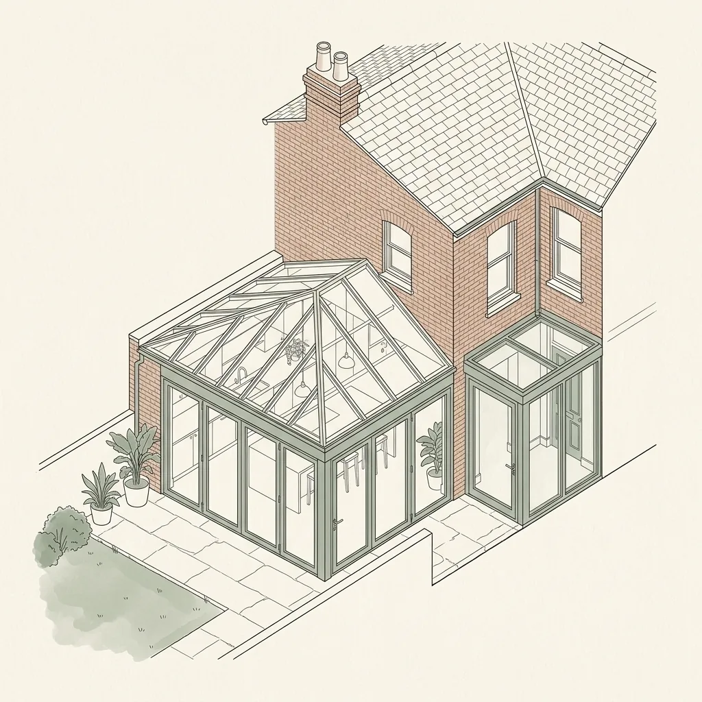
Planning drawings are the scale drawings a London council uses to judge your application: existing and proposed floor plans, elevations, sections and site plans that show the design, scale and neighbour impact of your project. DrawingsDirect produces complete, validation-ready planning drawing sets for extensions, lofts and conversions across London.
What is included in a planning drawing set?
A council will only validate an application that contains the right drawings at the right scale. Our standard planning set covers everything a London validation team expects.
- Site location plan (1:1250) and block plan (1:500)
- Existing floor plans, elevations and sections
- Proposed floor plans, elevations and sections
- Roof plans where relevant, with heights and materials annotated
- A design and access or heritage statement where the borough requires one
How are planning drawings different from building regulations drawings?
Planning drawings show what the building will look like and how it sits in its context. Building regulations drawings show how it will be built safely — structure, insulation, fire escape and drainage. Most projects need both; our Complete package covers the two together with structural calculations coordinated in-house.
| Drawing | Typical scale | What it shows |
|---|---|---|
| Site location plan | 1:1250 | The property in its street context, site edged red |
| Block plan | 1:500 | The building's footprint and position in the plot |
| Floor plans (existing & proposed) | 1:100 / 1:50 | Room layout, walls, openings and the proposed changes |
| Elevations (existing & proposed) | 1:100 / 1:50 | Each face of the building and how it changes |
| Sections | 1:100 / 1:50 | A cut through showing heights, levels and roof form |
Planning Drawings across Westminster
Planning Drawings in Westminster — FAQs
What scale should London planning drawings be?+
Do I need an architect to produce planning drawings?+
How many revisions are included in the fee?+
Can you draw from my existing plans?+
Do planning drawings guarantee approval?+
Do I need planning permission for works in Westminster?+
I live in a mansion block — what extra consent might I need?+
Will I need a Basement Impact Assessment in Westminster?+
How long does Westminster City Council take to decide?+
How much do planning drawings cost in Westminster?+
Get your free Westminster planning assessment
Tell us your Westminster address and ambition — we'll confirm feasibility, local constraints and a fixed fee within one working day.