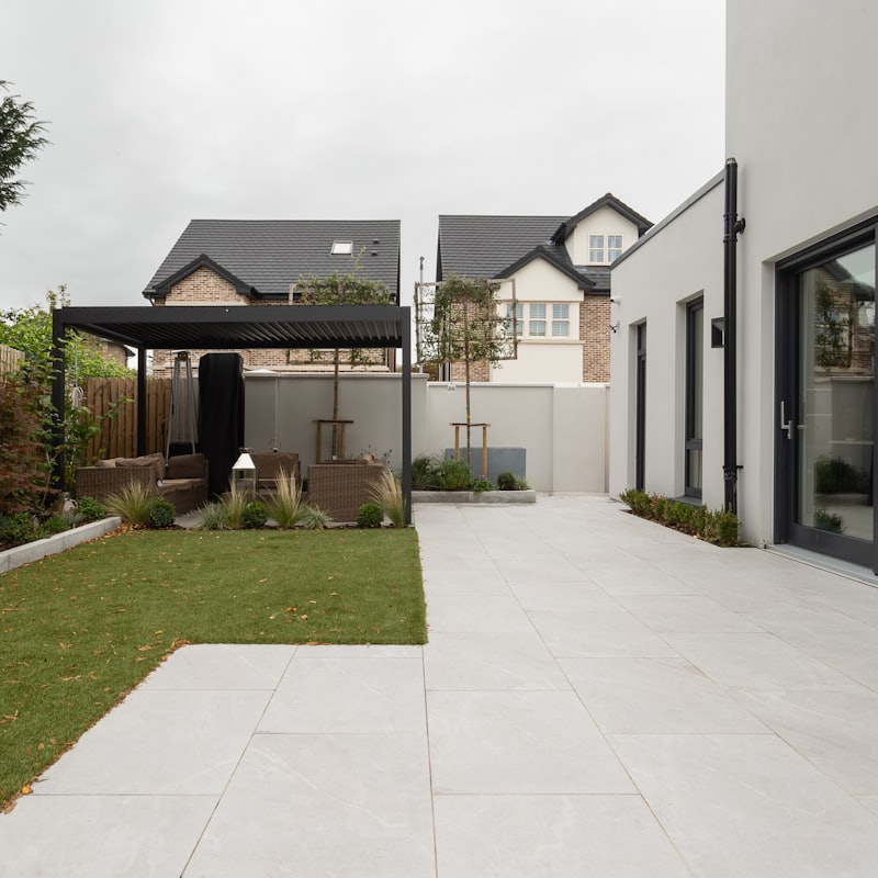
Planning Drawings in Rush Green RM7
Fixed-fee, MCIAT-chartered planning drawings for Rush Green (RM7) homeowners — London Borough of Havering validation and local constraints handled from the start.
Rush Green (RM7) is an interwar residential suburb straddling the boundary between the London Boroughs of Havering and Barking & Dagenham along Rush Green Road, built up largely in the 1920s and 1930s with semi-detached housing and now anchored by Queen's Hospital nearby. Most householder projects here are extensions or lofts on those cohesive interwar semis, so the drawings have to sit comfortably within a consistent, planned streetscape.
There is no conservation area covering the Rush Green part of RM7 — that is a genuine, verified fact, not an omission. Its planning character is instead shaped by the uniformity of the interwar semi-detached layout and by the London Borough of Havering's householder design expectations, which lean on keeping the paired-house symmetry, original materials and roof forms intact. We treat that suburban cohesion, rather than a conservation designation, as the reference point when we design an extension.
Demand for rear extensions, side extensions and loft conversions runs steadily across roads like Sylvan Avenue, Kings Avenue and Whalebone Grove, where interwar semis sit on regular plots. Because the borough boundary runs through the suburb, we confirm which authority your property falls in and check its permitted-development position against Havering's borough-wide controls first, then prepare drawings that either stay within permitted development or are ready to validate as a full householder application.
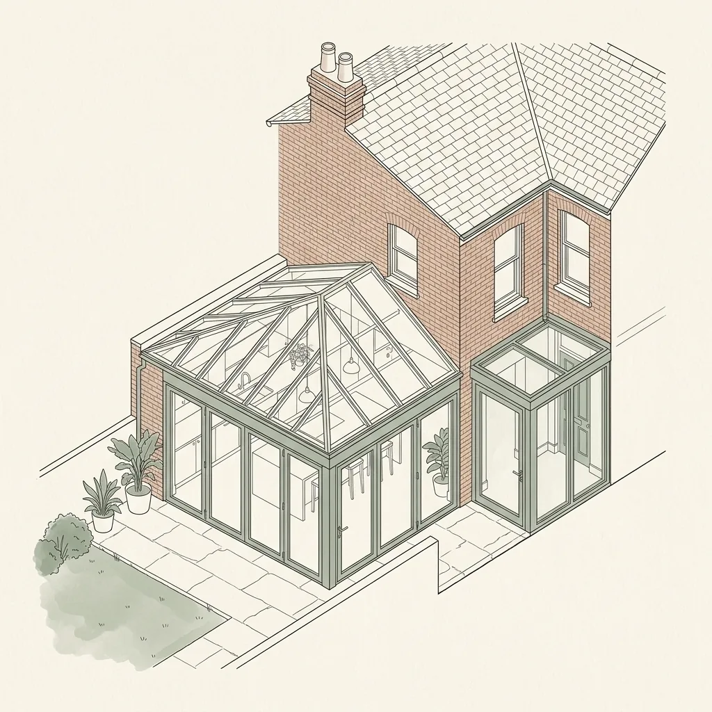
Planning in Rush Green (RM7): what to know before you apply
Because Rush Green is a consistent interwar suburb of semi-detached houses, Havering assess extensions against the steady street rhythm and paired-house symmetry, so matching original brick, render and roof form and respecting the shared building line matters alongside the numbers. There is no conservation area and no local Article 4 direction in the Rush Green part of RM7, so many houses retain permitted development rights for rear and loft work — but modest plots, shared party walls and the Havering–Barking & Dagenham boundary running through the suburb mean depth, height, neighbour impact and confirming the correct authority are the points a householder application is judged on.
Typical Rush Green housing stock
Predominantly interwar semi-detached houses on planned suburban roads, with postwar and modern infill on regular plots. Those consistent interwar semis, on regular plots with front and rear gardens, are what drive most of the rear-extension, side-extension and loft-conversion work across the area.
Streets we regularly draw for in Rush Green
Mill Lane · East Road · Crow Lane · Whalebone Grove · Hainault Road · Kings Avenue · Sylvan Avenue · Albany Road · Gordon Road · Millbrook Gardens · Whalebone Avenue · Burchett Way
Planning Drawings for Rush Green (RM7) homes: the package and the process
Every planning drawings we prepare for an Rush Green property is drawn to London Borough of Havering’s validation standards and tuned to the RM7 constraints above. Here is what the drawing package covers and how the process runs from first survey to approval.
Planning drawings are the scale drawings a London council uses to judge your application: existing and proposed floor plans, elevations, sections and site plans that show the design, scale and neighbour impact of your project. DrawingsDirect produces complete, validation-ready planning drawing sets for extensions, lofts and conversions across London.
What is included in a planning drawing set?
A council will only validate an application that contains the right drawings at the right scale. Our standard planning set covers everything a London validation team expects.
- Site location plan (1:1250) and block plan (1:500)
- Existing floor plans, elevations and sections
- Proposed floor plans, elevations and sections
- Roof plans where relevant, with heights and materials annotated
- A design and access or heritage statement where the borough requires one
How are planning drawings different from building regulations drawings?
Planning drawings show what the building will look like and how it sits in its context. Building regulations drawings show how it will be built safely — structure, insulation, fire escape and drainage. Most projects need both; our Complete package covers the two together with structural calculations coordinated in-house.
| Drawing | Typical scale | What it shows |
|---|---|---|
| Site location plan | 1:1250 | The property in its street context, site edged red |
| Block plan | 1:500 | The building's footprint and position in the plot |
| Floor plans (existing & proposed) | 1:100 / 1:50 | Room layout, walls, openings and the proposed changes |
| Elevations (existing & proposed) | 1:100 / 1:50 | Each face of the building and how it changes |
| Sections | 1:100 / 1:50 | A cut through showing heights, levels and roof form |
Planning Drawings in Rush Green RM7 — FAQs
What scale should London planning drawings be?+
Do I need an architect to produce planning drawings?+
How many revisions are included in the fee?+
Can you draw from my existing plans?+
Do planning drawings guarantee approval?+
Do I need planning permission to extend a house in Rush Green?+
Is Rush Green in a conservation area?+
How much do planning and building-regulation drawings cost for a Rush Green extension?+
Get your free Rush Green planning assessment
Tell us your Rush Green (RM7) address and ambition — we'll confirm feasibility, local constraints and a fixed fee within one working day.