Measured Building Survey in Cranford TW5
Fixed-fee, MCIAT-chartered measured building survey for Cranford (TW5) homeowners — London Borough of Hounslow validation and local constraints handled from the start.
Cranford sits on the western edge of Hounslow near the Heathrow boundary, and its interwar and post-war housing makes it a straightforward, permitted-development-friendly area for family projects: rear extensions, side infills and loft conversions on the semis along The Avenue, Berkeley Avenue and Chaucer Avenue, where back gardens give plenty of room to extend.
Away from the Cranford Village and Cranford Park conservation areas most schemes proceed under permitted development, but we design to Hounslow Council's standard throughout — factoring in aircraft-noise glazing and ventilation near Heathrow, party wall coordination on semi-detached plots, and flood-aware drainage on the lower ground close to the River Crane.
Planning in Cranford (TW5): what to know before you apply
No published householder Article 4 direction applies in Cranford, so most extensions and lofts fall under permitted development. The Cranford Village and Cranford Park conservation areas, Heathrow aircraft-noise designations and localised flood risk near the River Crane are the constraints to design around.
Typical Cranford housing stock
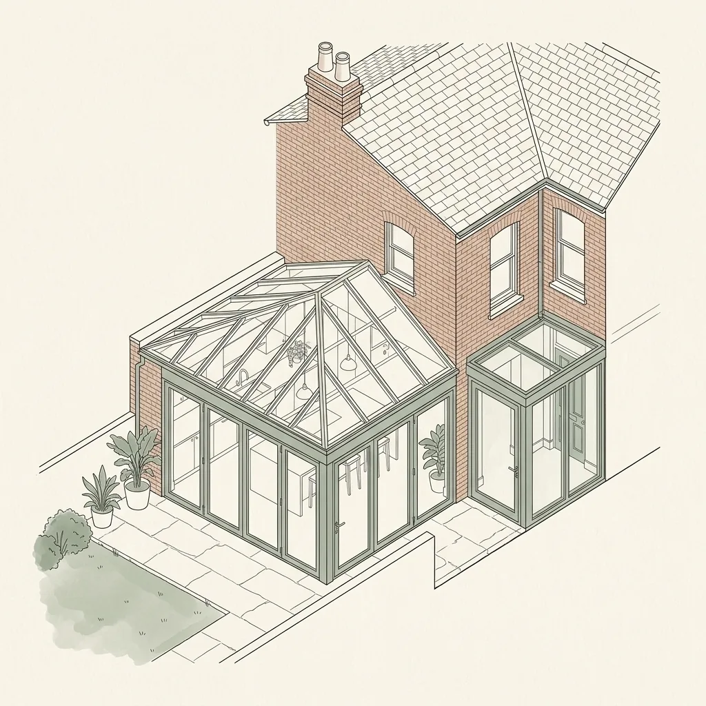
Cranford is a suburban district on the Heathrow fringe, made up of 1930s semis and post-war housing on roads like The Avenue and Berkeley Avenue, with generous back gardens. The stock suits single-storey rear extensions, side infills and hip-to-gable loft conversions carried out under permitted development.
Streets we regularly draw for in Cranford
The Avenue · Berkeley Avenue · Chaucer Avenue · Cranford Lane
Measured Building Survey for Cranford (TW5) homes: the package and the process
Every measured building survey we prepare for an Cranford property is drawn to London Borough of Hounslow’s validation standards and tuned to the TW5 constraints above. Here is what the drawing package covers and how the process runs from first survey to approval.
Every accurate drawing starts with an accurate survey. Before any proposed extension, loft conversion or alteration can be designed, we need to know exactly what already exists — the true dimensions of each room, the position and size of every door and window, floor-to-ceiling heights, wall thicknesses, roof pitches and the exact shape of the plot. A measured building survey captures all of this on site using a laser distance meter, recording existing plans, elevations and sections to millimetre accuracy, rather than relying on old estate agent floor plans, a previous owner's drawings, or rough on-site guesswork.
This matters more than it might seem. A design drawn on top of an inaccurate existing survey can look correct on paper and then not actually fit once a builder is on site — a wall that is 200mm out of position, a ceiling height that is lower than assumed, or a roof pitch that does not match reality can all force a costly redesign mid-build. A fresh, laser-measured survey de-risks that from the outset: the proposed extension, loft conversion or internal alteration is designed against the real dimensions of your home, not an approximation, so what is drawn is what can actually be built.
Why does a planning or building regulations application need a measured survey?
A planning or building regulations application needs to show the existing building accurately alongside the proposed changes, so the council or Building Control can judge the impact of the work against what is actually there. Existing plans, elevations and sections drawn from an accurate measured survey give the borough confidence that the proposal has been designed against real dimensions, and give your builder a reliable set of drawings to price and build from — an application based on inaccurate or assumed dimensions risks queries, delays, or a design that does not translate cleanly on site.
What does a measured building survey capture?
The survey records everything needed to produce accurate existing drawings: internal room dimensions and floor-to-ceiling heights on every level, the position, width and height of every door and window, wall thicknesses, staircase dimensions and headroom, roof shape and pitch, chimney breasts and structural features, and the external footprint and boundary relationship of the property. Where relevant to the project, we also record ground levels, existing drainage runs and neighbouring boundary conditions.
This is captured with a laser distance meter rather than a tape measure, which keeps the survey accurate to within a few millimetres across a whole property and removes the cumulative measuring error that can creep into a hand-measured survey of a larger or more complex building.
| Output drawing | Relies on the measured survey for |
|---|---|
| Floor plans | Accurate room dimensions and layout for sale, letting or lease use |
| Planning drawings | Existing plans, elevations and sections to compare against the proposal |
| Building regulations drawings | Accurate existing structure to design technical compliance against |
| Structural calculations | True spans, floor-to-ceiling heights and existing structural elements |
Measured Building Survey in Cranford TW5 — FAQs
How much does a measured building survey cost?+
How long does a measured survey take?+
Is a measured survey the same as a floor plan?+
Do I need a measured survey if I am only doing internal work?+
Can the survey be used for more than one purpose?+
Do I need planning permission for an extension in Hounslow?+
What extra control applies in Bedford Park?+
Does Heathrow or the river affect my Hounslow project?+
How long does Hounslow Council take to decide?+
How much do planning drawings cost in Hounslow?+
Get your free Cranford planning assessment
Tell us your Cranford (TW5) address and ambition — we'll confirm feasibility, local constraints and a fixed fee within one working day.