Floor Plans in Hackbridge SM6
Fixed-fee, MCIAT-chartered floor plans for Hackbridge (SM6) homeowners — London Borough of Sutton validation and local constraints handled from the start.
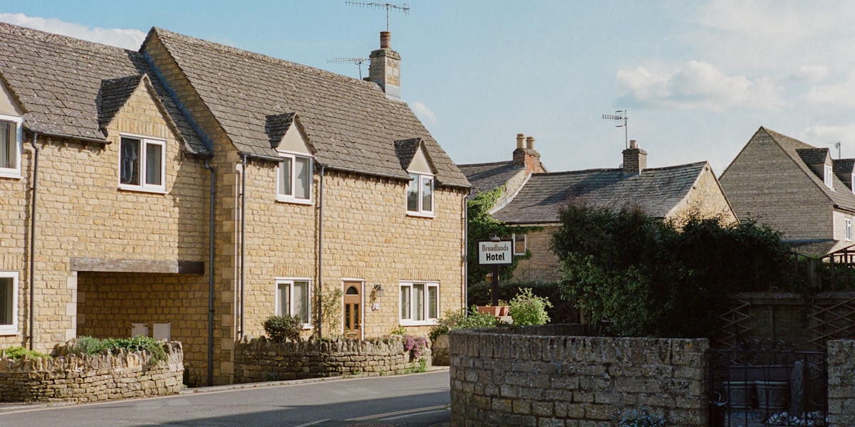
Hackbridge (SM6) sits on the River Wandle and began as a mill-and-industrial hamlet, gaining interwar housing before becoming best known for BedZED, the Beddington Zero Energy Development completed in 2002 and the UK's first large-scale carbon-neutral eco-community. That history gives Hackbridge an unusually mixed housing grain, so householder projects here range across interwar houses and newer riverside homes rather than a single repeating type.
There is no conservation area covering Hackbridge — that is a genuine, verified fact, not an omission. Its planning character is instead shaped by this mix of interwar streets, the landmark BedZED development and modern infill near the Wandle, together with the London Borough of Sutton's householder design expectations. We treat that immediate street context, rather than a conservation designation, as the reference point when we design an extension.
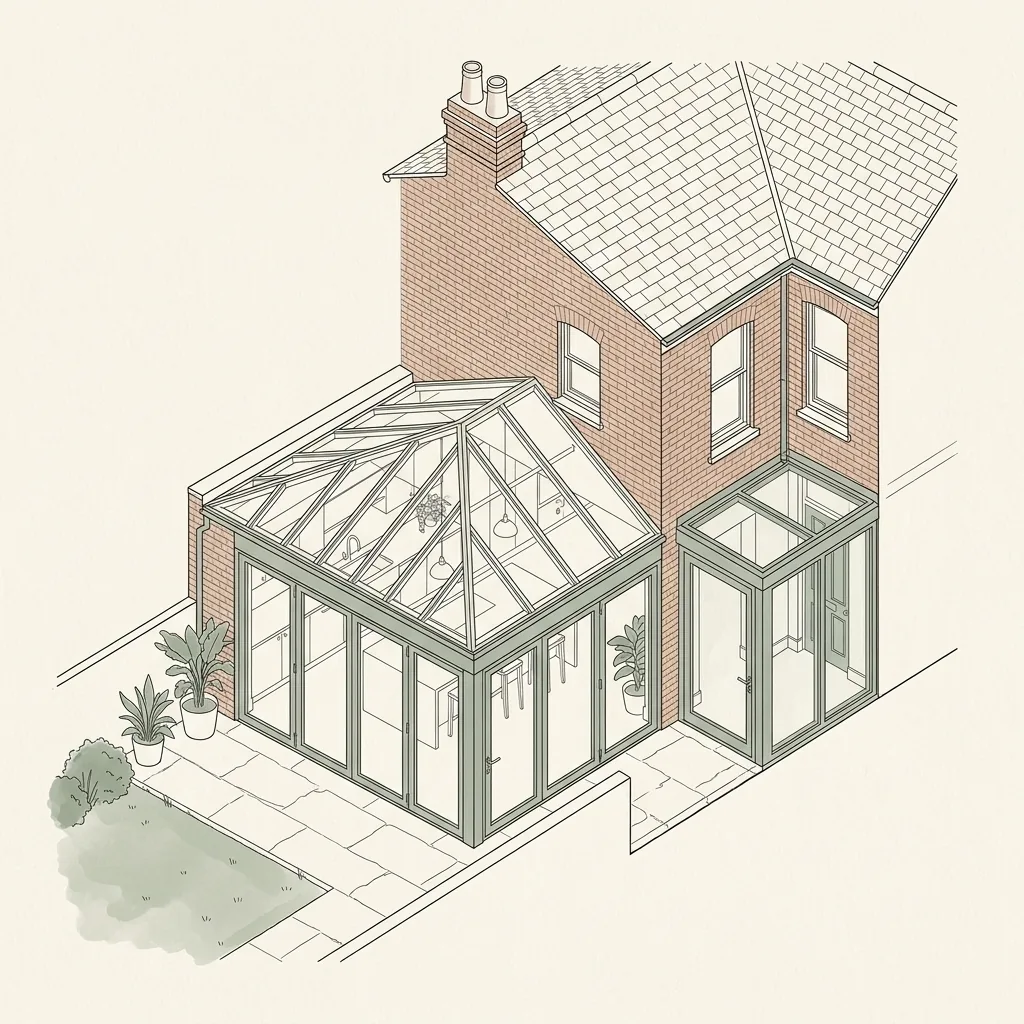
Demand for rear extensions, side additions and loft conversions is steady across streets like Longfield Avenue, Elm Road and Orchard Avenue, where interwar houses are typical. We check each property's permitted-development position — and, given the Wandle, its flood-zone position — against Sutton's borough-wide controls first, then prepare drawings that either stay within permitted development or are ready to validate as a full householder application.
Planning in Hackbridge (SM6): what to know before you apply
Because Hackbridge's housing grain is so mixed, Sutton assess each extension against its immediate neighbours, so matching the materials and roof form of the surrounding houses matters more than applying one estate-wide template. There is no conservation area and no local Article 4 direction, so many houses retain permitted development rights for rear and loft work — but the finite interwar gardens, shared building lines and the River Wandle nearby mean depth, height, drainage and neighbour impact are the points a householder application is judged on.
Typical Hackbridge housing stock
Interwar terraced and semi-detached houses alongside the landmark BedZED eco-development and newer riverside infill near the Wandle. The mix of interwar houses and modern homes means rear extensions, side additions and loft conversions all feature, each judged against its immediate context rather than a single dominant type.
Streets we regularly draw for in Hackbridge
Helios Road · Sandmartin Way · Clover Way · Furlong Close · Bluebell Close · Primrose Close · Poppy Close · Senga Road · Longfield Avenue · Elm Road · New Road · Orchard Avenue
Floor Plans for Hackbridge (SM6) homes: the package and the process
Every floor plans we prepare for an Hackbridge property is drawn to London Borough of Sutton’s validation standards and tuned to the SM6 constraints above. Here is what the drawing package covers and how the process runs from first survey to approval.
Not every project needs a full planning drawing set. If you are selling or letting a property, drawing up a lease, recording a layout before a refurbishment, or simply want an accurate plan of your home, what you need is a floor plan — a scaled, dimensioned drawing of each level, measured directly from the property rather than estimated from an old plan or an estate agent's rough sketch. DrawingsDirect produces floor plans from a laser-measured site visit, so room sizes, wall thicknesses and door and window positions are accurate, not approximate.
Floor plans are commonly used for estate agency marketing and Rightmove or Zoopla listings, for lease plans required by a mortgage lender or solicitor, for landlords documenting a rental property's layout, or as a straightforward existing-layout record before any building work is decided. They are lighter than a full architectural or planning drawing set — there is no design work, no application, and no borough-specific requirements to satisfy — so turnaround is fast and the fee is correspondingly lower. If you later decide to extend, convert a loft or apply for planning permission, the same laser survey can usually be reused as the base for those drawings rather than re-measuring the property from scratch.
What are floor plans used for?
Floor plans serve several distinct purposes in London property: estate agents use them to market a sale or letting alongside photographs, giving buyers and tenants an accurate sense of layout and scale that a floor plan on its own can convey better than photos; solicitors and lenders often require a lease plan showing the demise of a flat within a building, particularly for leasehold sales or re-mortgages; landlords use them to document a property's layout for reference, insurance or portfolio management; and homeowners use them simply to have an accurate record of their existing layout, whether for their own reference or as the first step before considering any building work.
How accurate are laser-measured floor plans?
We measure every floor plan on site using a laser distance meter rather than a tape measure or estimation from photographs, which keeps room dimensions, wall thicknesses and door and window positions accurate to within a few millimetres. This matters more than it might seem: an estate agent's marketing plan that overstates a room's size can mislead a buyer and cause problems at survey stage, while a lease plan used for legal purposes needs to accurately reflect what a leaseholder actually owns. A laser-measured plan also means that if you later want to use it as the existing-layout drawing for a planning application, it is already accurate enough to build proposed drawings on top of, rather than needing to be re-measured.
| Floor plans | Full planning drawing set | |
|---|---|---|
| Purpose | Record of existing layout | Existing layout plus a designed proposal |
| Includes a proposed design | No | Yes |
| Submitted to the council | No | Yes, via the Planning Portal |
| Typical turnaround | A few days | Around 7 days from survey |
| Fee guide | From £450 | From £1,600 |
Floor Plans in Hackbridge SM6 — FAQs
How much do floor plans cost in London?+
How long does it take to get floor plans?+
Can floor plans be used for a lease or mortgage application?+
Can I reuse my floor plans if I later want to extend or convert my loft?+
Do you provide floor plans for estate agents?+
Do I need planning permission to extend a house in Hackbridge?+
Is Hackbridge in a conservation area?+
How much do planning and building-regulation drawings cost for a Hackbridge extension?+
Get your free Hackbridge planning assessment
Tell us your Hackbridge (SM6) address and ambition — we'll confirm feasibility, local constraints and a fixed fee within one working day.